Guides
Part of 6 things nobody tells you about gas station preservation
Gas station preservation in two days: count first, then go back
Two-day itinerary built: day one drives the corridor and counts what survives. Day two goes back to the three sites that tell the story of what happened to the rest.
What to take away
- Count them on day one. The ratio of surviving to demolished stations is the story of the corridor.
- Find one adapted station, one closed one and one still selling fuel. Those three explain everything.
- Look for monitoring wells and fresh asphalt patches. They tell you what happened underground.
- Keep the days short. This subject rewards attention, not mileage.
Two days is exactly right for filling stations, because the subject is repetitive by nature and the interest is in the pattern rather than in any one building.
So the trip has a shape: survey first, then go back for the three that matter.
Choosing the ground
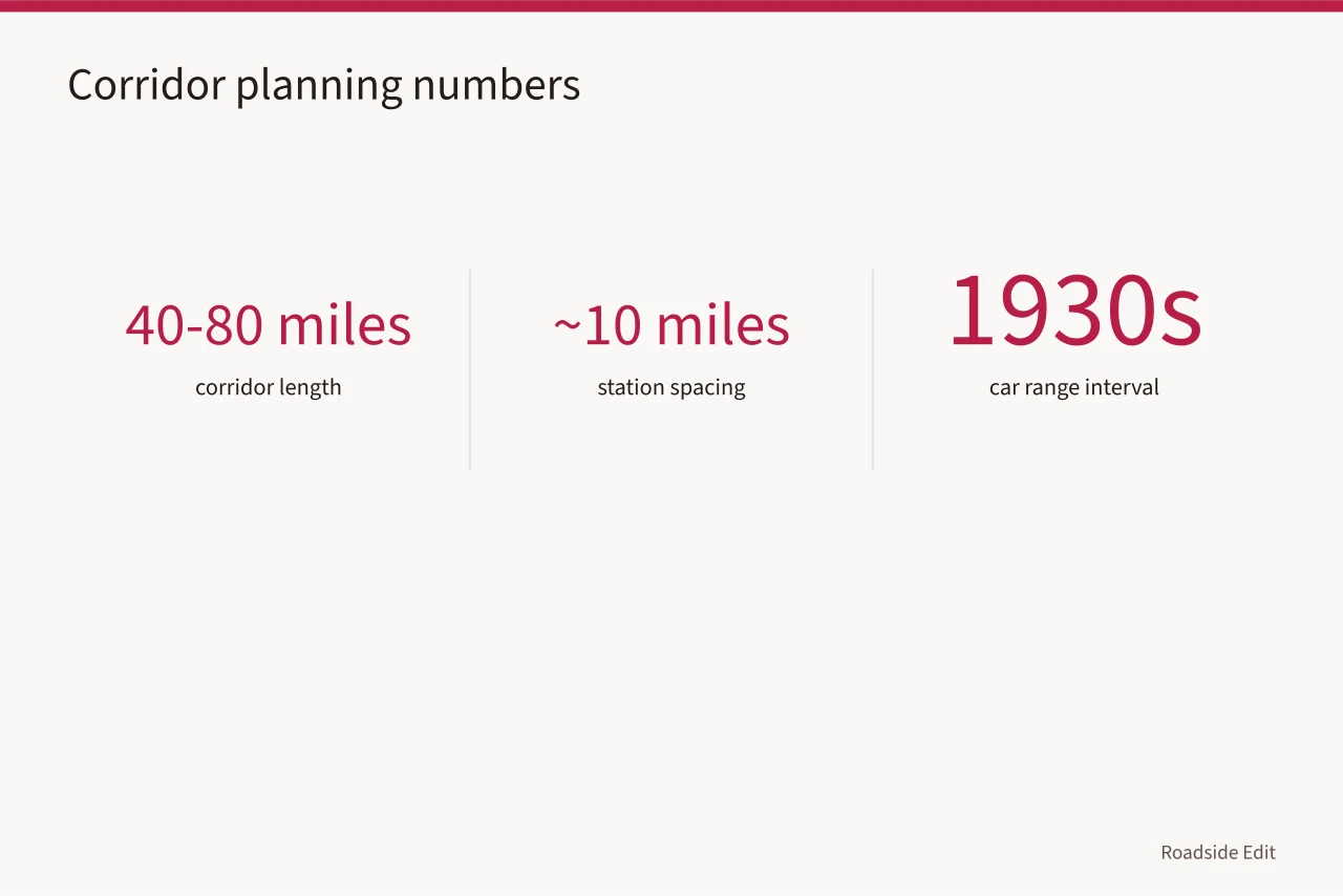
Pick a corridor of 40 to 80 miles where an old highway runs alongside or beneath a newer one. Filling stations clustered at junctions, at town edges and roughly every ten miles, which is the interval a 1930s car could manage comfortably.
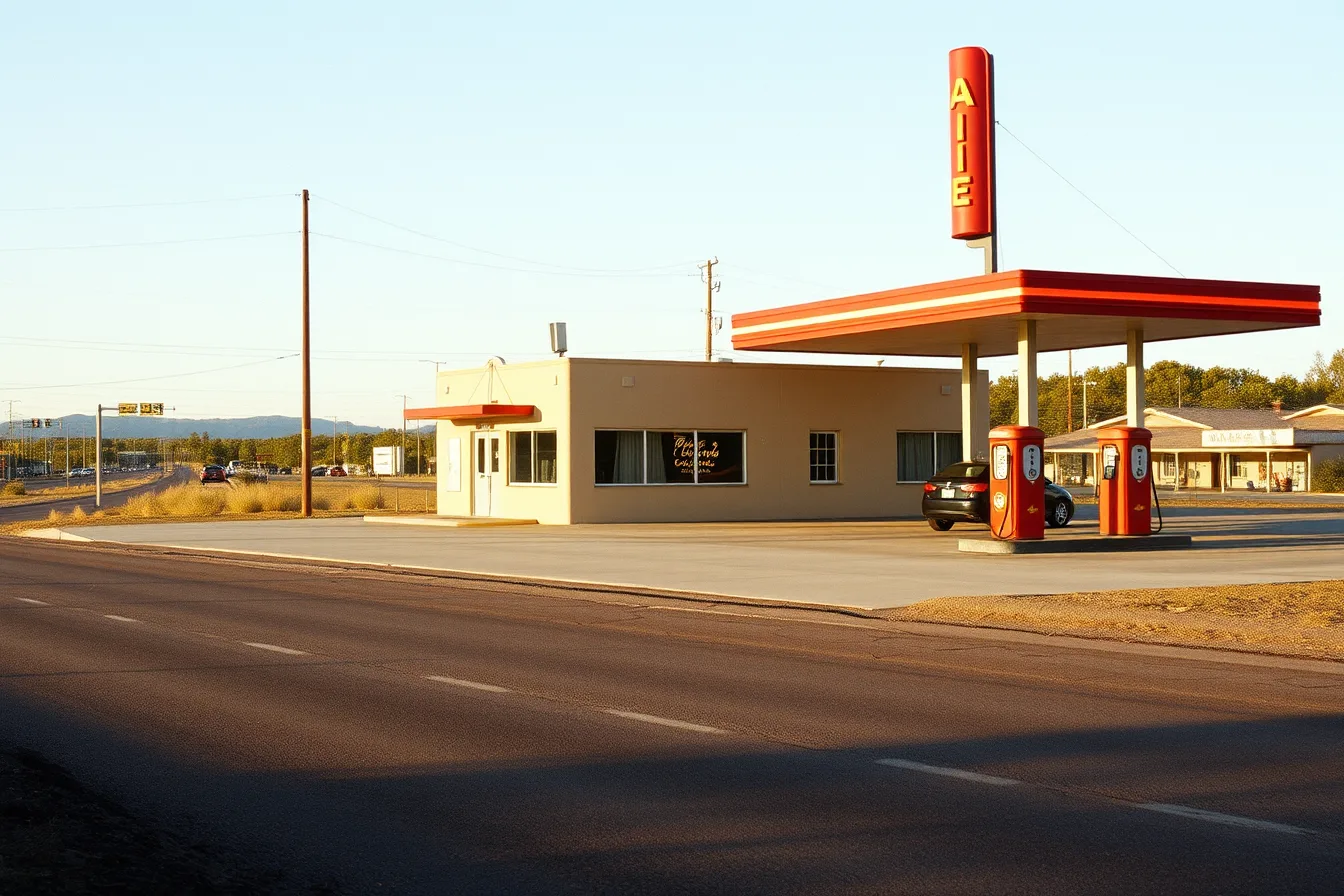
Bypassed stretches keep more of them, for the usual reason: nothing came along worth demolishing them for.
Day one: count and drive
Morning. Drive the corridor from one end, stopping only briefly. Note every station you can identify: trading, adapted, closed, demolished but visible in the site shape.
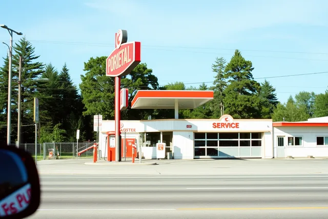
You will recognize them by the setback, the wide apron, the island bases and the canopy, even where the building has gone.
Midday. Eat at whatever is on the road and ask what used to be on the empty lots. People remember filling stations.
Afternoon. Drive it in the other direction and fill in what you missed. Set-back buildings are much easier to spot from one direction than the other.
Evening. Write the list. Trading, adapted, closed, gone. That ratio is the day's actual result.
Day two: the three that explain it
The trading one. Buy fuel. Look at how the site works today: where the tanks are vented, where the deliveries go, how the canopy handles rain. It makes the historic examples legible.
The adapted one. Buy a coffee and talk to whoever runs it. Ask about the tanks, the permits and what they had to change. This is the most informative hour of the whole trip.
The closed one. From the pavement. Look for what happened underground: monitoring wells set in the ground, patched asphalt where tanks came out, a fenced compound in one corner.
Those details are the visible half of a process that is otherwise invisible, and the Environmental Protection Agency's answers to common questions about underground storage tanks explain what the terminology means when an owner or an agency uses it.
Reading the buildings while you go
Most of these stations came from a small set of designs, and the finishes tell you the era. Stucco was heavily used on the domestic-looking stations of the 1920s and 1930s, the ones built to resemble small houses so they would be tolerated in residential streets.
The National Park Service's brief on preserving historic stucco covers what the material is and how it fails, which is useful when you are trying to work out whether a rendered station has been resurfaced or is still showing its original finish.
Later ones switched to porcelain enamel panels and then to the wide flat canopies of the 1960s. Once you can date them by finish, the corridor sorts itself into decades as you drive.
The two-day shape
| Time | Day one | Day two |
|---|---|---|
| Morning | Drive and count | The station still trading |
| Midday | Lunch, local memory | The adapted station, at length |
| Afternoon | Drive back, fill gaps | The closed one, from the pavement |
| Evening | Write the tally | Photograph the best of them in low light |
Variations
Short on time. Do day two only, with three sites in one town.
Mobility considerations in the group. Most of this works from the car, and the adapted station is the stop that needs checking, using the questions in the access planning.
Going deeper. Contact the people described in how to find local guides a fortnight before, and day two becomes considerably better.
Common questions
Is one corridor enough for two days? Yes. Two corridors means driving between them, which is exactly the time this trip does not have.
What if everything on my route is demolished? Then that is the finding, and the empty lots still show the shape. Ask locally which stretch kept more.
Can this combine with other subjects? Well, since motels, diners and stations sit on the same roads for the same reasons.
Best time of year? Anything but the peak of summer. You are outdoors on unshaded ground all day.