Roadside Edit
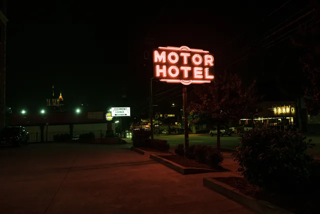
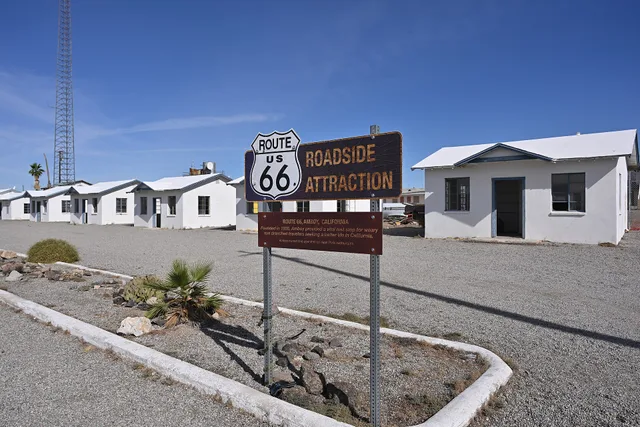
road, signal, guidance, sign, signpost, travel, motel, vintage, abandoned, trip, blue travel, blue road, blue vintage, motel, motel, motel, motel, motel
Photo by enddetour on Pixabay

Features

11 thoughtful approaches to modern roadside design

Eleven practical approaches to contemporary roadside places that balance identity, safety, access, landscape, local business, and historic context.

Modern roadside design best ideas begin with the whole place: road, building, sign, parking, walking route, landscape, business, and community. A photogenic facade cannot compensate for an unsafe entrance, inaccessible path, confusing sign, overheated parking lot, or business plan that fails after opening.

The Federal Highway Administration describes context-sensitive solutions as a collaborative, interdisciplinary approach that considers safety and mobility alongside scenic, historic, aesthetic, environmental, community, and agency values. That principle provides a useful starting point for new roadside work and additions near historic places.

1. Design the approach at driving speed

Study what people see in sequence, not only the front elevation. Map decision points, sight distance, existing traffic controls, entrances, turns, conflicts, and the moment a sign becomes legible. Work with transportation authorities and qualified professionals rather than inventing an access solution from a site plan.

Use a hierarchy: identity at a distance, directional information in time to act safely, and detailed information after the driver has parked. Too many messages compete with each other and the road.

2. Make arrival understandable without a car

Roadside businesses increasingly receive people arriving on foot, mobility device, bicycle, transit, rideshare, or tour vehicle. Connect public right-of-way, transit stop where present, parking, drop-off, entrance, outdoor seating, and nearby destinations.

The U.S. Access Board's public-right-of-way resources address pedestrian access routes, crossings, curb ramps, on-street parking, and other elements. Determine which current standards govern the specific public and private portions of a project with qualified reviewers.

3. Put accessible experience into the concept

Accessibility is not a ramp added after the architecture is fixed. Plan parking, route, slope, surfaces, doors, counters, seating, restrooms, controls, signs, lighting, acoustics, digital information, and staff assistance as one visitor journey.

Engage people with varied disabilities during design and testing. Compliance review is essential, but lived experience can reveal fatigue, glare, reach, wayfinding, noise, and operational barriers that drawings miss.

4. Use a sign family, not a sign collection

Separate identity, highway or street direction, site entry, parking, pedestrian wayfinding, rules, prices, and interpretation. Give each sign one main job. Coordinate letter size, contrast, lighting, placement, and maintenance.

For sites near historic buildings, avoid copying old signs so closely that new work creates a false history. Contemporary work can echo scale, rhythm, color relationships, or craft while remaining identifiable as new.

5. Build shade and weather protection into the form

Canopies, arcades, trees, sheltered entrances, covered waiting, and carefully placed wind protection can make arrival usable. Design for local sun, heat, rain, snow, wind, wildfire conditions, storms, and drainage rather than applying one national aesthetic.

Coordinate shade with visibility, security, signs, accessible routes, snow storage, utilities, and landscape growth. A tree shown at mature size may provide little shade during early operating years, so phase protection honestly.

6. Treat the parking lot as public space

Parking influences first impressions, heat, stormwater, walking safety, lighting, and neighboring properties. Right-size it under local rules and actual demand. Organize clear pedestrian paths, accessible parking and loading, bicycle storage, deliveries, waste, snow or storm operations, and landscape.

Use paving and planting strategies that fit soil, climate, maintenance, water, utilities, and traffic. A sustainable feature that cannot be maintained locally will deteriorate into a barrier.

7. Make new additions compatible and legible

Near a historic roadside property, start by identifying the older building's form, massing, scale, materials, openings, setting, and important views. NPS Preservation Brief 14 advises that a new addition should preserve historic character, remain differentiated, and be compatible; it commonly recommends keeping additions subordinate.

Compatibility does not require imitation. A quiet connector, setback, lower height, repeated proportion, or related material can allow old and new to read together. Test views from the road and principal public areas.

8. Design for small-business operations

Map opening, closing, staffing, queueing, housekeeping, deliveries, food or retail storage, waste, security, cash handling, customer support, and equipment service. Give staff safe shortcuts that do not cross guest or vehicle conflicts.

Prototype the busiest fifteen minutes and the slowest season. A large attraction may need temporary event operations, while a small motel or diner needs systems that one or two people can manage reliably.

9. Create an identity from local evidence

Research landscape, materials, climate, industries, routes, languages, tribal and community histories, and contemporary makers. Commission local artists and fabricators with clear attribution and fair contracts. Avoid borrowing sacred, tribal, ethnic, or community symbols without relationship and permission.

Identity can come from proportion, shade, light, landscape, craft, and use, not just a giant object or nostalgic typeface. Let the project belong to its place in 2027.

10. Plan maintenance before selecting finishes

Ask who cleans, repairs, repaints, replaces lamps, clears snow, removes graffiti, services landscape, and inspects structures. Provide safe access and keep product, color, coating, plant, hardware, and control records.

Test materials in local exposure. Consider heat, ultraviolet light, deicing chemicals, salt, dust, impacts, vandalism, irrigation, and available trades. A finish that looks perfect at opening but cannot be repaired becomes expensive visual clutter.

11. Measure whether the place works

Define outcomes before opening: safe arrivals, successful accessible journeys, local spending, dwell time, repeat visits, business revenue, energy and water, shade performance, maintenance hours, complaints, and incidents. Protect privacy and avoid surveillance that exceeds the operational need.

Run a soft opening and observe actual routes. Fix a confusing entrance, missing seat, glare problem, queue conflict, or delivery obstruction before buying more promotion. Revisit results through different seasons.

A design review sequence

At concept stage, review context, users, access, historic and environmental resources, business operations, and alternatives. At schematic stage, test traffic, walking routes, accessibility, massing, sign hierarchy, shade, drainage, and utilities. At detailed design, review materials, systems, maintenance, lighting, controls, mockups, and approvals.

Before opening, commission building and site systems, train staff, check wayfinding in daylight and darkness, and complete an accessibility walkthrough with real user tasks. Document remaining work and responsibility rather than hiding it behind a launch date.

What modern should mean in 2027

Modern roadside design does not need to look futuristic or retro. It should respond clearly to present transportation, climate, accessibility, community, and business conditions while leaving room for change. The strongest identity emerges from a place that works well enough for people to notice its character.

Test the roadside experience as a sequence

Before construction, stage arrival with full-scale sign panels, cones or temporary markings, and accessible-route mockups where authorities and site safety permit. Test from the relevant travel direction and at lawful speeds with transportation professionals. Then walk or roll the route from transit, sidewalk, drop-off, and accessible parking.

Inside the site, rehearse a delivery, emergency response, full parking period, rideshare pickup, bicycle arrival, tour bus where relevant, waste collection, and maintenance closure. Record conflicts rather than solving them verbally on the day. A diagram that looks clean can still make guests cross a delivery path or force staff to block an accessible aisle.

Design for change without looking unfinished

Roadside businesses may add electric charging, new payment systems, outdoor service, pickup zones, solar shade, or different vehicles. Reserve electrical capacity, utility paths, mounting zones, communication pathways, flexible interior bays, and space for future signs without filling the site with empty conduits and blank panels.

Document the next phase: intended use, capacity, installed provisions, remaining work, code and utility review, and trigger for action. "Future-ready" should be a drawing and schedule, not a sales phrase.

Give the community a real decision record

Engagement should show what participants could change, what was fixed by safety or law, which alternatives were considered, and why a decision was made. Provide accessible meeting and digital formats, translated information where appropriate, compensation or other support for community expertise when feasible, and a public response to recurring concerns.

Keep the record through construction. When a budget cut changes shade, planting, art, access, or local-business space, explain the effect instead of presenting the finished project as the original community plan.

After opening, return the decisions to the community in plain language. Publish what was built, what moved to a later phase, who maintains it, and how people can report a barrier or operational problem. Track responses and close the loop publicly. A feedback address that never produces visible action is not continuing engagement.

Include response dates, responsible departments, and the resolution of each recurring issue.

Measure whether the design works after opening

Return after a busy period and a difficult season. Observe arrival decisions, near conflicts, accessible routes, shade use, lighting, deliveries, pickup, maintenance, and how people find the entrance. Compare operations with the drawings and the community decision record.

Document corrections as part of the design, not as an embarrassing footnote. A moved planter, revised sign, different delivery hour, or rebuilt curb may provide the most useful evidence for the next roadside project. Publish the date and limits of the observation so a short visit is not presented as a complete performance study.

Sources

Editorial note

Verify current transportation, zoning, code, accessibility, environmental, sign, utility, and property requirements with the authorities and qualified professionals serving the site.

In this guide

  1. What to pack when a trip centers on modern roadside designA practical packing list for safely observing and documenting contemporary roadside buildings, signs, landscapes, and public spaces.
  2. Modern roadside design costs: transport, stays and ticketsA trip-budget method for transportation, lodging, admissions, guides, food, access needs, documentation, and contingency.
  3. How to find local guides for modern roadside designA process for finding and vetting local architecture guides, historians, designers, accessibility specialists, and community interpreters.
  4. Accessible options for modern roadside design travelersA planning method for accessible roadside design trips covering transport, parking, routes, rest, sensory needs, lodging, and current information.
  5. A two-day itinerary built around modern roadside designA flexible two-day research itinerary for observing contemporary roadside buildings, public space, signage, local business, and historic context.

More in Features