Guides
Part of Eleven habits of modern roadside design that actually read at speed
A two-day Illinois Route 66 loop for seeing modern roadside design without missing the details
A two-day loop on Illinois Route 66 from Chicago to Pontiac and back, with six named stops. Day one reads the road; day two looks closely at three.
What to take away
- The loop is Illinois Route 66 from Chicago to Pontiac and back on I-55, about 200 miles in total.
- Day one reads the whole road at speed. Day two returns to three or four specific stops.
- The core stops are Gemini Giant, Polk-a-Dot Drive In, the Route 66 museum, Standard Oil Gas Station, and Ambler's Texaco. Add Old Log Cabin if it is open.
- Drive the old alignment in both directions. The return on I-55 is faster but less useful.
- Six stops is the honest maximum for two days. Ten means you looked at none.
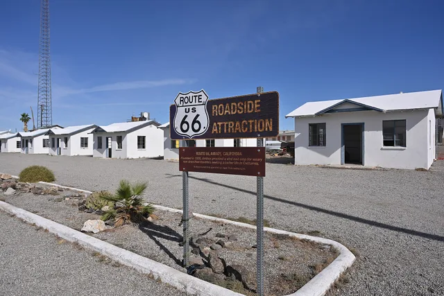
The mistake with two free days is to cover ground. roadside architecture makes sense as a sequence, and a sequence needs one road. This loop uses the Illinois Route 66 Scenic Byway. It runs from Chicago to Pontiac, then returns on I-55.
The route, the stops and their details
Use the Federal Highway Administration's America's Byways program to find designated routes. Each stop below sits on the old alignment through its town and is signed from the road. Street numbers change as buildings are restored, so plan from the town names rather than an old pin.
Named stops:
- Gemini Giant, Wilmington. A 30-foot fiberglass spaceman from 1965. It stands outside the former Launching Pad Drive-In. Free, outdoors, and visible at any hour.
- Polk-a-Dot Drive In, Braidwood. An operating 1950s diner with fiberglass statues. Suits a cheap lunch and a look at signage. A lunch typically runs $10 to $20. Summer hours run longer than winter ones.
- Route 66 Association Hall of Fame Museum, Pontiac. A small museum with maps, signs, and memorabilia, run by the Route 66 Association of Illinois. Admission is free. Hours typically run 9am to 5pm, with a shorter winter schedule.
- Old Log Cabin Restaurant, Pontiac. A 1926 log building on Route 66. It is a restaurant, so buy a meal to see inside. The meal is the entry fee. Kitchen hours are the visiting hours, and it usually closes one or two days a week.
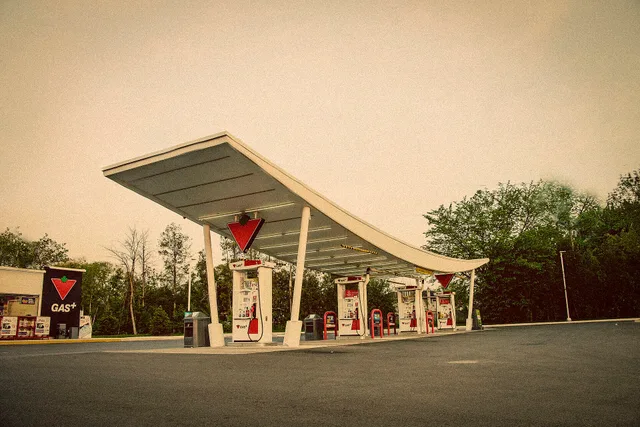
- Standard Oil Gas Station, Odell. A restored 1930s station with a pump island and office. Free to walk around when open. Volunteers staff it, typically on weekend afternoons in the warmer months, roughly 10am to 4pm.
- Ambler's Texaco, Dwight. A restored 1930s service station. Best for comparing pump placement and canopy shape. The Village of Dwight keeps it and opens it for posted hours and local events rather than every day.
Before you leave
Book a room in Pontiac, not Chicago. Download offline maps for the whole route. Most stops are volunteer-run or tied to a kitchen, so treat the hours above as typical for the season.
If the car is electric, sort charging first. The Department of Energy's page on charging in public explains public charging is Level 2 or DC fast. Level 2 units sit where cars stay for hours: hotels, shopping centers, government offices.
Choose the overnight stop by its charger. PlugShare is a free app and website with user-submitted charger locations and check-ins. It suits EV drivers who want recent reports.
Day one: read the road
Morning. Drive Chicago to Wilmington on the old alignment. Make two or three brief pauses. Watch where towns cluster and where signs repeat.
Midday. Eat at an independent place on the road. In Braidwood, Polk-a-Dot Drive In is the obvious pick. Ask staff what has closed and what is being repaired.
Afternoon. Continue to Pontiac. Visit the Route 66 Association Hall of Fame Museum. Then walk the Old Log Cabin exterior if it is closed.
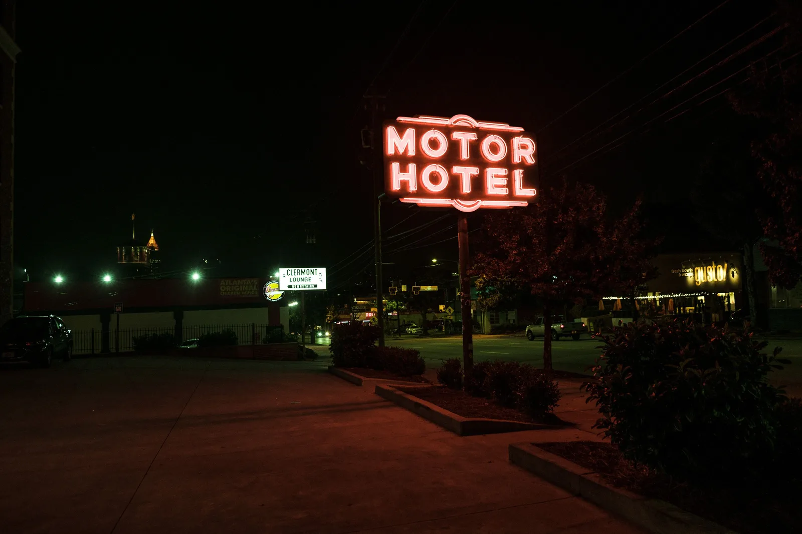
Evening. Come back out for the signs at dusk. Neon and illuminated plastic are half the subject. They are invisible in daylight. Write down the three stops for tomorrow.
Day two: look properly
Morning, first stop. Standard Oil Gas Station in Odell. Spend 90 minutes. Look at the pump island, office window, and roof line. There is room to park beside the station; walk the pump island on foot.
Late morning, second stop. Ambler's Texaco in Dwight. A restored station, not a working garage. Check access; it may be locked outside events.
Afternoon, third stop. Gemini Giant and the former Launching Pad in Wilmington. Study scale, placement, and the empty lot. It is free. Park on the former drive-in lot and walk the pad rather than the road shoulder.
Late afternoon. Polk-a-Dot Drive In in Braidwood. This is an operating business. Buy a shake and ask about the statues. This is the stop people remember.
Driving times between the stops
Figures are approximate and measured on the old alignment, not on I-55.
| Leg | Distance | Typical drive time |
|---|---|---|
| Chicago to Wilmington | 50 miles | 1 hour 15 minutes |
| Wilmington to Braidwood | 10 miles | 15 minutes |
| Braidwood to Pontiac | 40 miles | 50 minutes |
| Pontiac to Odell | 15 miles | 20 minutes |
| Odell to Dwight | 10 miles | 15 minutes |
| Dwight to Wilmington | 25 miles | 30 minutes |
The run home on I-55 from Pontiac takes about 1 hour 40 minutes.
Variations
With children. Halve the stops. Pick the Gemini Giant and Polk-a-Dot statues. Signs work better than facades.
In summer. Move the middle of the day indoors. The Route 66 museum in Pontiac is air conditioned. Push the second half later.
With an access requirement in the group. Plan four stops instead of six. Confirm surfaces first, using the questions in the accessibility planning.
What to look for once you are standing in front of these buildings is in the eleven approaches. Read it the night before, not in the car.