Features
Part of How to Read Roadside Architecture from the Road
Twelve frames every roadside architecture shoot should include
The twelve frames worth taking at every roadside building, why the hero shot is the least useful one, and how to photograph a neon sign properly.
What to take away
- The three-quarter hero shot is the frame everyone takes and the least useful one afterwards.
- Shoot the junctionswhere the sign meets its pole, where the wall meets the ground, where new work meets old.
- Neon needs two visits, day and dusk. Neither alone records the sign.
- Photograph the context nobody wants: the parking, the approach, the neighbors. That is what will have changed in ten years.
Most people come back from a roadside trip with the same photograph forty times. The building at three-quarters, centered, in flat afternoon light. It is a nice picture and it records almost nothing.
A useful field list takes about ten minutes per property and produces something that is still worth having when the place is altered or gone.
The twelve frames
Context and approach
Detail and record frames
- Wall meets ground
- Window close-up with frame
- Junction between old and new work
- Materials in raking light
- Plaque, address, builder's mark, marker
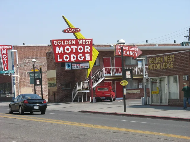
- The building as a driver first sees it, from the road, at driving height.
- The whole lot including parking, from across the road if it is safe.
- The approach from the other direction, because roadside buildings were often designed for one.
The building
- The full front elevation, square on, filling the frame.
- Each visible side elevation, square on.
- The entrance, straight and close.
- The roofline against the sky, which is where the silhouette lives.
The details that answer questions later
- Where the wall meets the ground.
- A window in close-up, including its frame and how it sits in the opening.
- Any junction between old and new worka patched wall, a replaced door, a newer wing.
- Materials in raking light, close enough to show texture.
The record
- Any plaque, address number, builder's mark, or historical marker, legible.
That twelfth frame is worth more than the first eleven combined when you are trying to identify something a year later.
The sign gets its own list
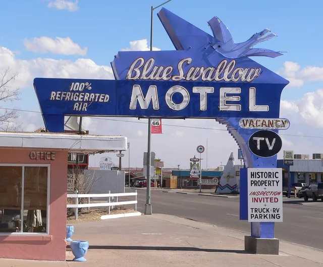
On many of these properties the sign is the most significant element, and it needs treating as a subject rather than as part of the composition.
Sign shot list
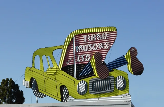
- Isolated against the sky
- Mounting and support structure
- Lettering close enough to read construction
- Visible tubing, transformer housing, cabinet edge
- Check if tubing follows original layout
The National Park Service's brief on the preservation of historic signs is the best short account of what makes a sign historically significant, and reading it changes what you point the camera at. It is also useful for understanding why a sign that looks scruffy may be more valuable than one that looks pristine.
Neon takes two visits
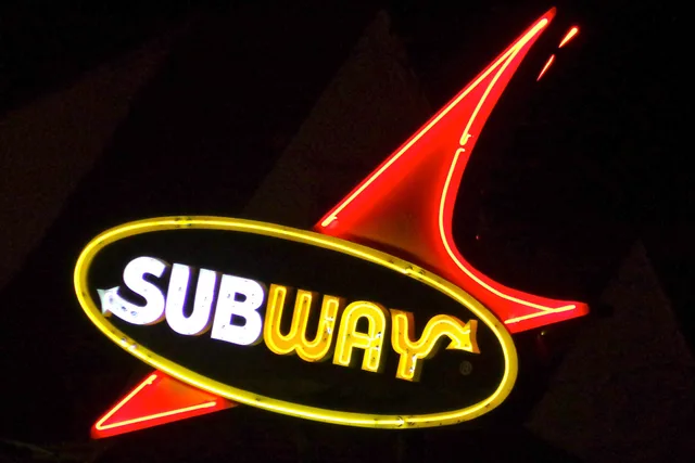
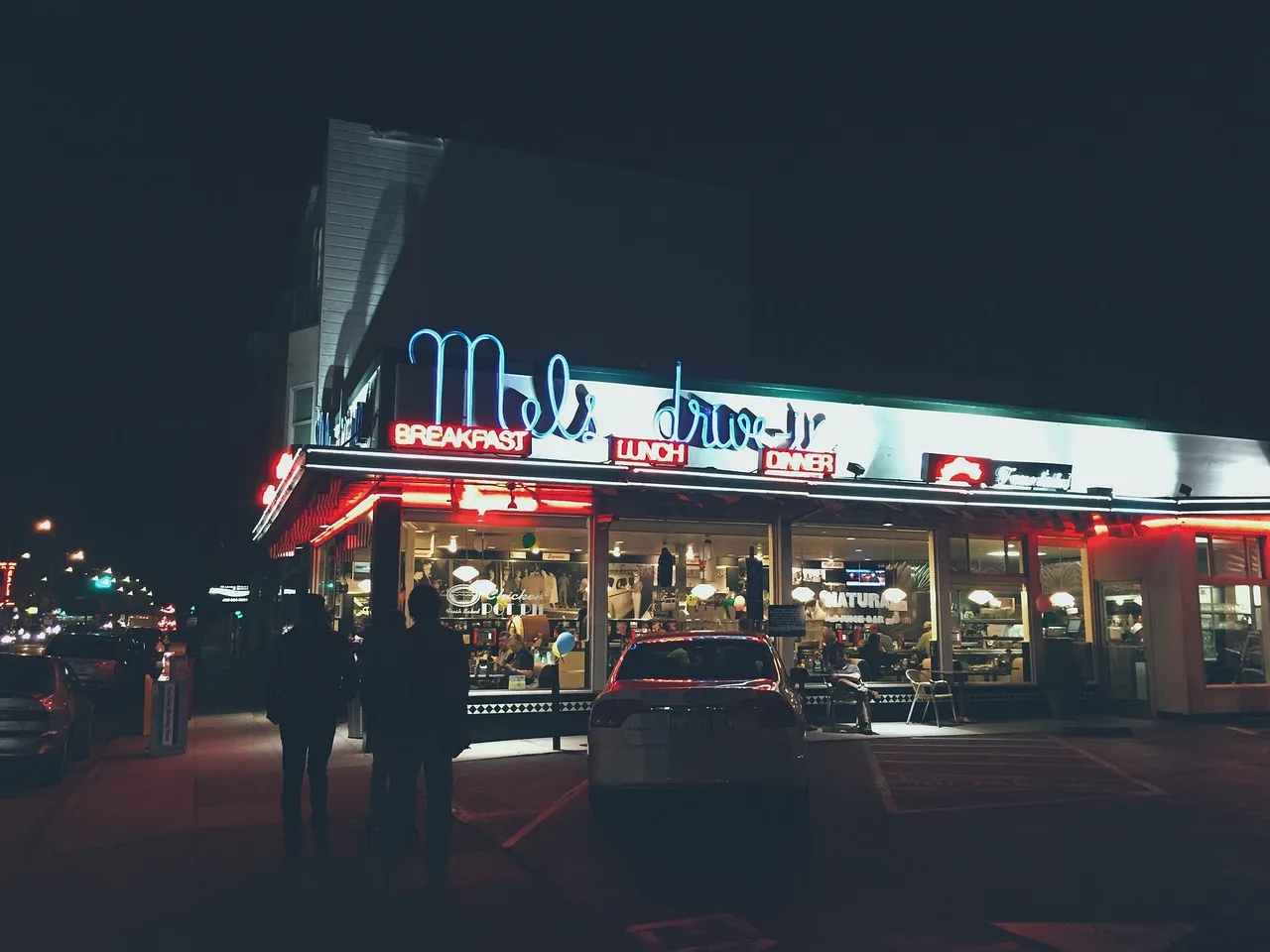
A neon sign photographed only in daylight is a rusting metal cabinet. Photographed only lit, it is a shape with no visible construction.
Go at day for structure and at dusk for the sign doing its job. Dusk rather than full dark: you want ambient light still in the sky so the building behind the sign is not a black void.
If the sign has been restored, the restoration is usually visible in daylight and invisible at night. That is exactly why both frames matter. Guidance from the Route 66 program on how to preserve a historic sign sets out what restoration involves, which helps you see what you are looking at.
Practical constraints
Safety first. Do not stand in a traffic lane for a frame. Roadside buildings sit on roads that were designed before anybody walked along them.
Permission. Public right of way is generally fine. Private property needs asking. Operating businesses almost always say yes and often show you things.
People. Ask before photographing anyone, including staff.
Do not geotag vulnerable sites. An abandoned building with a precise public location attracts damage faster than it attracts help.
What to write down with the photographs
Date, location, direction of the light, what you could not determine, and anything the owner told you. Keep inference separate from fact.
Photographs without notes become a folder of pretty buildings nobody can identify. Photographs with two lines of context become a record.
The wider method for reading these places is in the field guide, and what first-time visitors miss covers the things worth pointing a camera at that are easy to walk past.