Guides
How to Read Roadside Architecture from the Road
A practical guide to roadside architecture from the road: read the site first, identify the building type, and look for features that define it.
What to take away
- Roadside buildings were designed to be read at speed from a moving car. That one fact explains almost every decision in them.
- Read the site before the building. Setback, parking geometry and approach angle date a place faster than its style does.
- Most of these are private property and working businesses. Look from the right of way, and ask before anything else.
- A sign is architecture here, not decoration. Often it is the most significant thing on the lot.
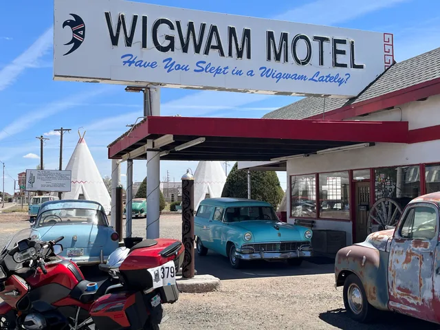
To read roadside architecture, drive any older highway and the buildings start to look deliberate rather than accidental. The motel set back behind its parking. The diner with its long window wall. The filling station canopy reaching toward the road.
None of that is styling. It is a response to a customer arriving at forty miles an hour with two seconds to decide. Once you can see that, the whole corridor becomes readable.
What counts, and why it hangs together
Motels, diners, drive-ins, service stations, roadside attractions, souvenir stands, motor courts, and the signs that served all of them.
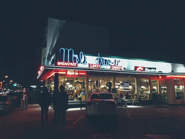
The category is defined by how the customer arrives, not by a shared style. A Streamline Moderne diner and a 1960s A-frame coffee shop belong to the same story, though they look nothing alike.
Both were built to be legible from a car, to promise something specific at a glance, and to be entered without leaving the vehicle for long.
Read the site before the building
Stand at the road and look at the lot, not the structure.
Setback. Buildings pushed up to the sidewalk predate car dominance. Buildings sitting behind a parking apron were designed for people arriving by car and needing somewhere to put it.
Approach angle. Is the front square to the road, or turned to catch a driver coming from one direction? A turned frontage usually means a business that depended on traffic from that side.
Parking geometry. Rooms with a car space directly outside the door is the motor court arrangement. A single separated lot came later.
Canopy and forecourt. Filling stations are legible almost entirely through the relationship between canopy, pumps and building.
This reading takes thirty seconds and is more reliable than guessing at style.
Identify the type before you name a style
Types are stable. Styles are fashions applied to them.
A motel is a type: rooms entered from outside, parking at the door, an office at the front. It might wear Spanish Revival, Googie or plain brick and it is still a motel. Naming the type first stops you dating a building from a facade that was applied thirty years after it was built.
Look for character-defining features
The National Park Service's guidance on identifying the visual aspects of historic buildings is the standard method, and it is genuinely useful to a visitor rather than only to a professional. It asks you to look in a deliberate order: overall shape, then materials, then craft details, then setting.
Applied to a roadside building that becomes the silhouette against the sky, the wall material and how it meets the ground, the window pattern, the entrance, the signage, and the relationship to the pavement.
Work in that order and you will notice the replaced windows before the paint color distracts you.
Signs are architecture here
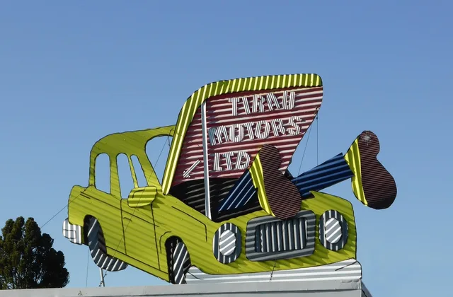
On many roadside properties the sign is the most significant surviving element, sometimes the only one. It was expensive, it was made by specialists, and it carried an identity the building itself had no room to express.
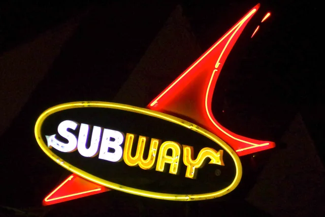
Read a sign the way you read a building: structure, materials, lettering, how it is mounted, whether the tubing is original, whether the cabinet is intact. Neon in particular is now recognized as a distinct craft with its own conservation problems.
Visiting responsibly is not complicated
Most of these are private property. Many are operating businesses. Some are somebody's home.
- Look from the public right of way unless you have permission
- Never enter a closed or abandoned building
- Ask before photographing people or interiors
- If it is a business, be a customer
- Confirm hours, access and road conditions before you travel
- Do not publish precise locations of vulnerable abandoned sites
That last point matters more than it used to. Attention brings restoration money and vandalism in roughly equal measure, and the balance is not always favorable.
Understand preservation before judging a renovation
Visitors are quick to call a restoration inauthentic. Often the work was constrained by things invisible from the parking lot: code requirements, what materials still exist, what survived, what the budget allowed, or an earlier alteration that had itself become historic.
Where a property has been through a formal process, the work was measured against published standards rather than against taste. Knowing that changes how you look at a replacement window.
Where the funded work actually happens
A surprising share of roadside preservation in the United States runs through one program. The National Park Service's Route 66 Corridor Preservation Program makes cost-share grants to historic properties along the route, and its project records are among the better public accounts of what this work involves and costs.
Reading a few funded projects before a trip changes what you notice when you arrive.
Keep a field record
Date, location, what you observed, what you could not determine, and photographs with context rather than only the hero shot. Note what you inferred separately from what you verified.
Six months later, the difference between "I think this was 1948" and "the county assessor lists 1948" is the difference between a note worth keeping and one worth nothing.
What first-time visitors consistently miss is worth reading before a first trip.
Common questions
Can I photograph a motel from the parking lot?
How do I date a building without records?
Is a restored property worth visiting, or only original ones?
What if a place is clearly abandoned and standing open?
In this guide
- Roadside architecture tips for reading what remainsRoadside architecture tips for reading old alignments, substitute materials, vanished neighbors, and the changes that make surviving places worth a closer look.
- Roadside architecture places to stay in TucumcariRoadside architecture places to stay in Tucumcari: three named motels, tips for checking a property's history, booking direct, and supporting preservation.
- Roadside architecture businesses: repair before replacingRoadside architecture businesses can protect original character with repairs to windows, neon and stucco, water control and careful storefront maintenance.
- Which fifteen things should you ask before booking roadside architecture in 2027?Fifteen questions before you book a historic motel: what is original, what has been restored, what the room is really like, and what access you get.
- Twelve frames every roadside architecture shoot should includeThe twelve frames worth taking at every roadside building, why the hero shot is the least useful one, and how to photograph a neon sign properly.