Guides
Part of How to plan a historic motel restoration across regions in 2027
How a historic motel restoration scope checklist works for regional evidence in 2027
A historic motel restoration scope checklist separates regional context from property evidence, so a 2027 survey records sources, limits and dates.
A regional source describes an area. It does not describe your motel. The checklist below keeps the two apart, field by field, so a 2027 scope rests on records rather than on a planning document that happened to mention the right county.
What to take away
- Record source geography and publication date before the source enters a scope.
- Keep regional context and property evidence in separate fields, never merged.
- Mark a property connection "documented" only when a source names the place or feature.
- Keep every dated revision, including the ones a newer source seems to replace.
- A checklist is a research aid. It is not a condition assessment or a risk finding.
Fill the six fields
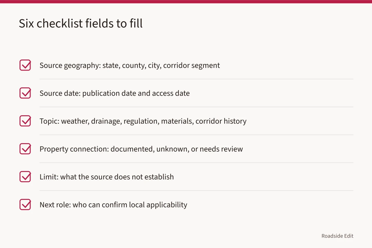
Each row is one line in the file. Six fields, filled in this order, produce a record another surveyor can audit.
| Checklist field | What to capture |
|---|---|
| Source geography | State, county, city, corridor segment, or defined area |
| Source date | Publication date and the date you accessed it |
| Topic | Weather, drainage, regulation, materials, or corridor history |
| Property connection | Documented, unknown, or needs review |
| Limit | What the source does not establish |
| Next role | Who can confirm local applicability |
The geography field is where most errors start. A state-level drainage study and a city storm-sewer map are different instruments, and a scope that cites the first while implying the second is unsupportable.
Read the source against its own limits
The National Park Service treats climate effects on cultural resources as place-sensitive and notes that threshold information is often incomplete. Read the NPS overview of climate impacts on cultural resources. Useful for framing a question. It establishes nothing about a specific motel.
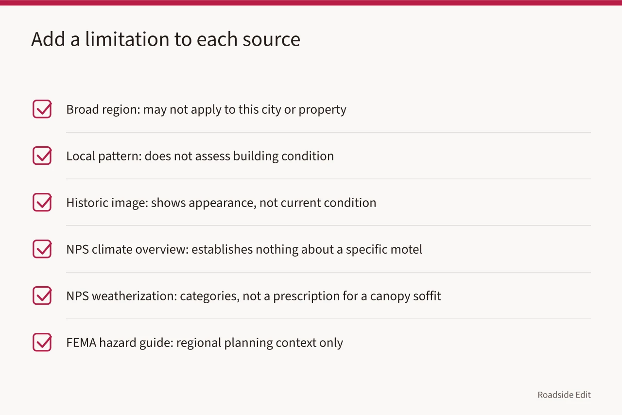
NPS weatherization guidance says planning for a historic building should be tailored to the building, site, climate, and occupancy. Review NPS weatherization guidance. That sentence is a list of categories a property record must address. It is not a prescription for a canopy soffit, a curtain wall, or a butterfly roof.
FEMA's hazard-mitigation material covers integrating mitigation with local planning and cultural-resource considerations. Read FEMA's hazard-mitigation planning guide. Use it as regional planning context and write down that limit in the same line.
| Source describes | Add this limitation |
|---|---|
| A broad region | It may not apply to this city or property |
| A local pattern | It does not assess building condition |
| A historic image | It shows one view on one date |
| A planning framework | It does not choose a property action |
Run the six-step evidence sequence
- State the regional question in one sentence.
- Add the official or institutional source, with its URL and access date.
- Record the geographic scope the source actually covers.
- Find the property record that may relate to the question.
- State whether the connection is documented or unknown.
- Name the next qualified or local review role.
Step 5 is the one people skip. "Unknown" is a legitimate entry and often the honest one.
Write the limitation note
Close every completed checklist with a short note: is the property connection documented, unknown, or awaiting review? Add the date of the last review, so nobody reads the file as permanently current. A full set of regional links is not proof of a local condition.
Keep the labels plain. "Regional context" means the source covers an area broader than the property. "Property evidence" means it names the place or feature. "Open question" means the two have not been connected. When a regional topic is interesting but the local record is thin, those three labels hold the boundary.
Review the checklist when a new local record appears. Add its date and say what it changes. If it does not establish the property connection, leave the question open. Do not delete an earlier limitation because a new source looks relevant. Keep every dated revision.
Record the record itself
NPS documentation standards call for reliable sources and stated limitations that let another person check the record. Read the NPS documentation standard. In practice that means every checklist line carries a citation, a date, and a boundary. A line without those three is a note, not evidence.
For a corridor survey, the same discipline applies to material dating. A porcelain-enamel station sign and a plastic-faced box sign of the same decade are different evidence, and a field checklist that logs material, mounting and condition will outlast one that logs only the address.
Five items requiring specialized authority:
- canopy soffits
- dry-stand pipes
- neon transformers
- underground tanks
- the licensed engineer, electrician, or environmental authority sets the method
- the local authority having jurisdiction sets the requirement
Five areas where specialists and adopted sources answer:
- easements
- historic tax credits
- cross-border import of salvaged parts
- the attorney, accountant, or customs broker answers
- the adopted statute or agency publication is the source
Common questions
Is a regional source enough for a property plan?
No. It supplies context. The property needs its own records, location evidence, and review by the appropriate local body.
What if a source covers only part of the region?
Record the actual boundary and do not extend the claim past it. The boundary is useful information, not a gap to paper over.
Should old sources be removed?
Keep them if they explain a past decision, with the date attached, and note whether current planning needs newer evidence.
Who confirms that a source applies to this property?
The State Historic Preservation Office, the local landmarks commission, or a qualified preservation professional, depending on the question. The checklist names the role; it does not fill it in.