Guides
Part of How roadside building regional adaptation shapes a source map
How to keep roadside building records with regional source scope
Regional records for roadside buildings pair a dated source with the exact claim it supports, so a 2027 article never turns a map into a fact.
Roadside building regional records start with one habit: the source stays beside the sentence it supports. A note that names the place, the record type, the date and the limit is worth more than a page of description with no origin.
What to take away
- Write the source, its date and its stated scope next to every fact you publish.
- Keep a regional data set on its own card, never merged with a property record.
- Treat a mapped point as a locator, not as a finding about one building.
- Log corrections and paid placements in separate registers with dates.
- Send any present-tense condition, ownership or compliance question to the authority that holds the record.
Match the record to the claim
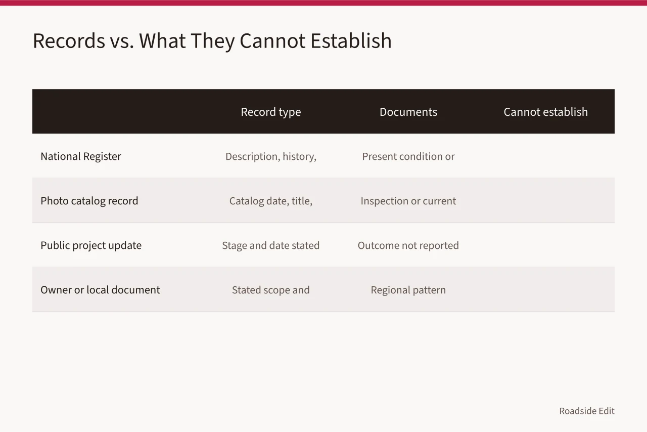
| Record | Documents | Cannot establish alone |
|---|---|---|
| National Register nomination | Stated description, history, significance, bibliography | Present condition or current owner |
| Photo catalog record | Catalog date, title, location description | An inspection or current status |
| Public project update | The stage and date the source states | An outcome the source does not report |
| Owner or local document | Its own stated scope and attribution | A regional pattern |
A nomination form describes a building at the moment of listing. It will not tell you whether the porcelain-enamel sign face still hangs on the canopy or has been over-painted since. That question needs a dated photograph or a site visit.
The National Park Service explains that its records can include a registration form, photographs and maps, and that map data may need correction. Review the NPS National Register database and research guidance.
Keep the limitation line short
Every source card carries six fields:
- title
- issuing organization
- direct URL
- access date
- the place the source names
- the one claim it supports The seventh line is the limit.
A usable limit reads: "Climate region context only; no condition finding for this property." Or: "Locator map; boundaries not authoritative." One line, plain words, no hedging.
That line is what stops a later editor from promoting a planning document into a statement about a specific canopy, dry-stand pipe or neon transformer. It also shows which sentence to revisit when the source is revised.
Hold regional data apart
A regional source gets its own card, separate from any property record. Record the geographic coverage, the data period, the source purpose, the check date and the limit.
The Department of Energy's climate-zones overview groups regions by factors including temperature and precipitation. It supports broad planning. It says nothing about the brick veneer on one motel or the glazing on one diner.
FEMA's National Flood Hazard Layer maps flood hazard for covered areas. A mapped result does not establish present damage, insurance terms or the right response at one address. Keep the search location and map version, then leave the property question with the responsible authority.
Log corrections and paid placements
When a source changes, open a correction entry:
- old wording
- revised wording
- new source
- date
- reason The National Archives' information-quality guidelines describe how an agency identifies information at issue and documents its response. The editorial version is simpler: never swap a regional claim for a better one without saying so.
Paid listings and provider updates go in a commercial register with sender, date, service area and disclosure. They support attributed information. They are not independent evidence about a property's condition or risk.
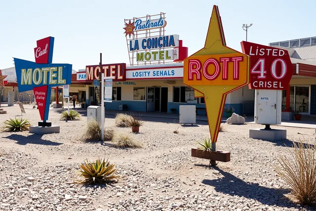
Source image
The Library of Congress catalogs this photograph as the El Capitan Motel sign on historic U.S. Route 66 in Gallup, New Mexico. It is a dated record of a sign, not a statement about the motel today.
Common questions
Does a historic record prove a building is unchanged today?
No. It documents the period and scope the source states. A present-tense claim needs a current, direct source, such as a dated survey photograph or a record from the owner or the local landmarks commission.
Should a map coordinate be treated as exact?
No. Keep the source and its date, then check accuracy before you publish a boundary or location claim. Where the boundary matters, confirm it with the authority that maintains the map.
What is the minimum note to keep for a source?
The direct URL, the source date, the place it identifies, the claim it supports, and one clear limitation. Six fields and a limit line will carry an article through several update cycles.
Who answers a condition or compliance question?
The licensed engineer, the electrician, the State Historic Preservation Office or the local landmarks commission, depending on the question. Name the authority in the article and point the reader to the adopted ordinance or the primary record.