Reviews
Part of How roadside building regional adaptation shapes a source map
Roadside building regional comparison questions before you weigh local records
Roadside building regional questions for 2027 help U.S. editors compare location, source scope, project stage, and local planning context without property advice.
Roadside building regional questions for 2027 help editors decide when two local records can be compared. A shared state, route, or climate label is not enough. The records must describe compatible places, dates, scope, and project stage.
What to take away
- Compare documentation before comparing places.
- Keep broad regional planning material separate from property claims.
- State when records have different scope or dates.
- Do not turn regional context into an adaptation recommendation.
Questions before comparing local records
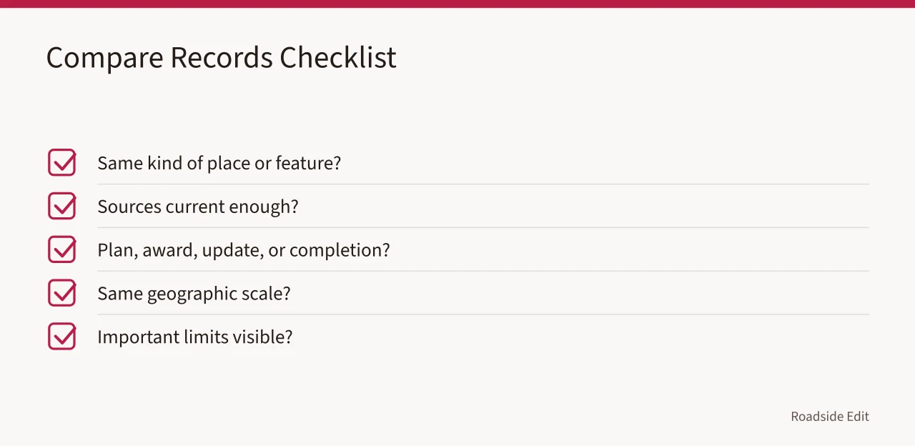
| Question | Why it matters |
|---|---|
| Do both sources identify the same kind of place or feature? | A sign, facade, and whole building may have different context |
| Are the sources current enough for the comparison? | Old records can misstate present conditions |
| Is each record a plan, award, update, or completion source? | Project stages are not interchangeable |
| Does each source describe the same geographic scale? | A regional plan does not decide a property outcome |
| Are important limits visible? | Missing scope can make a comparison misleading |
FEMA's hazard-mitigation planning page explains that mitigation planning is a community process for reducing risk. Review FEMA hazard-mitigation planning information. It supports treating a planning resource as broader context. It does not establish a risk, project, or required action for an individual roadside building.
Keep separate records separate
When a local project update and a regional planning source address different questions, publish them separately. A planning page can explain why a community considers risk. A project page can describe a named scope or date. Neither should be rewritten as a universal finding about nearby buildings.
Use a short note when needed: "These sources provide regional and project context at different scales. They are not a shared condition assessment or treatment recommendation." The note helps readers understand the relationship without overstating it.
It also makes later updates easier.
Ask what the regional source can actually show
A climate, hazard, or map source can add useful context when its geographic coverage and date are clear. It cannot diagnose a wall, roof, sign, route, or building condition. Write the regional fact in one sentence and keep the property question in another. This prevents broad context from sounding like an instruction for a single location.
NOAA's U.S. Climate Atlas provides maps using temperature and precipitation observations. Explore the NOAA U.S. Climate Atlas. It is a regional data resource, not a property assessment. It can support a source-bounded statement about the area covered by the map, while leaving material condition and project decisions open.
FEMA's National Flood Hazard Layer provides federal flood hazard information for mapped areas. Check FEMA's National Flood Hazard Layer information. It does not decide whether a roadside building is safe, damaged, insurable, or subject to a particular project requirement. It gives a defined source when an editor needs mapped flood information.
Keep route and access questions with the right authority
An image may show a curb, entry, road edge, or path, but cannot establish accessibility compliance, public access permission, or a safe route. The ADA Standards for Accessible Design are technical standards for covered facilities.
Consult the ADA Standards for Accessible Design. They do not determine duties at a particular roadside building; a compliance question belongs with the responsible authority or qualified reviewer.
Preserve a local correction path
Keep regional source, date checked, local record, image credit, and open question in a short review note.
If an owner, agency, or provider supplies an update, attribute it and keep it separate from independent reporting. A later source may narrow the regional context or identify a more relevant local record. Add a dated correction rather than silently replacing the earlier statement.
This process makes a regional article more useful: it shows readers which facts apply broadly, which require property-specific evidence, and who can answer the next question.
Review the note when new records arrive and preserve prior source limits for editors carefully every time consistently.
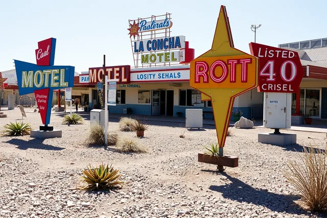
The image is illustrative. It does not establish present condition, ownership, safety, or project status.
Common questions
Can two towns share one regional claim?
Only if the source applies to both and the article states its geographic scope.
Does a community plan prove a project is underway?
No. Use a project-specific source for a project claim.
What if two regional sources disagree?
Report the dated difference or use a current responsible source that resolves it.