Guides
Part of How roadside building regional adaptation shapes a source map
How a roadside building regional checklist keeps location and claims honest
Roadside building regional checklist for 2027 helps U.S. editors verify location, regional sources, seasonal context, image credit, and property-claim limits.
Regional context can improve a roadside-building article when it is clearly sourced and kept in its proper place. A climate map, corridor history, or regional planning resource can frame a question. It cannot diagnose a facade, predict a result at one address, or choose a project for a property that has not been reviewed.
This checklist helps editors document that boundary. It does not provide design, safety, legal, or technical advice for a specific building.
What to take away
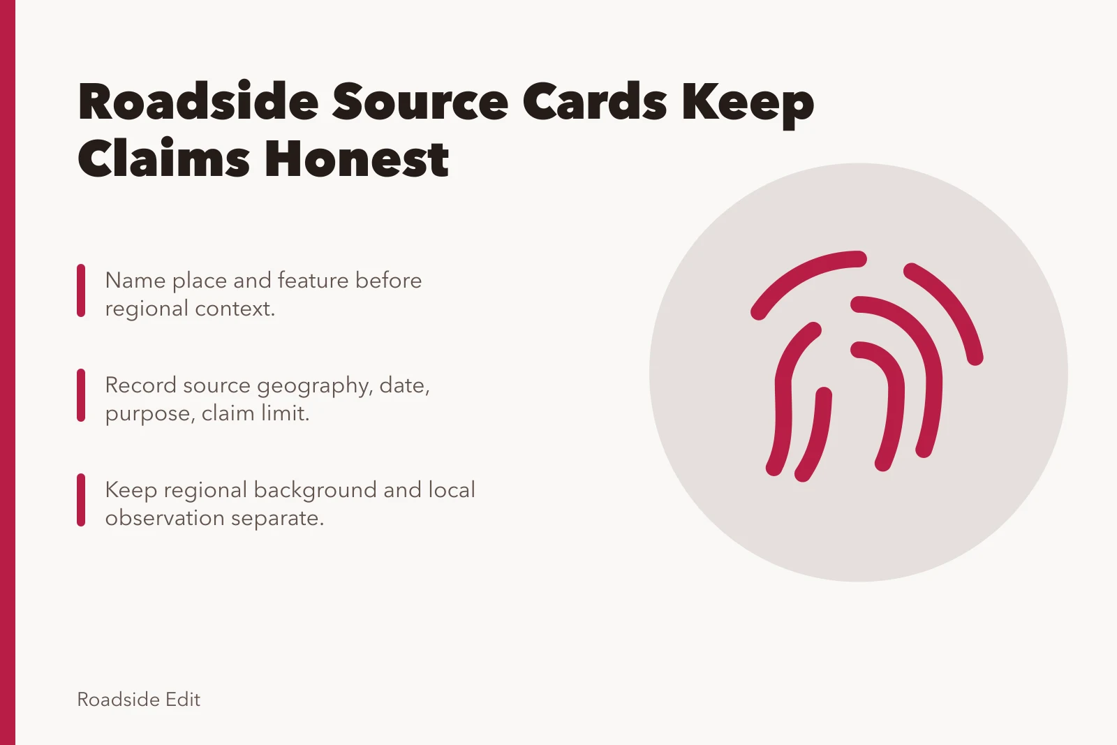
- Name the place and feature before adding regional context.
- Record source geography, date, purpose, and claim limit.
- Keep regional background and local observation as separate facts.
- Use seasonal notes to describe a view, not to claim a cause.
- Attribute business information and retain a disclosure record.
Create a regional source card
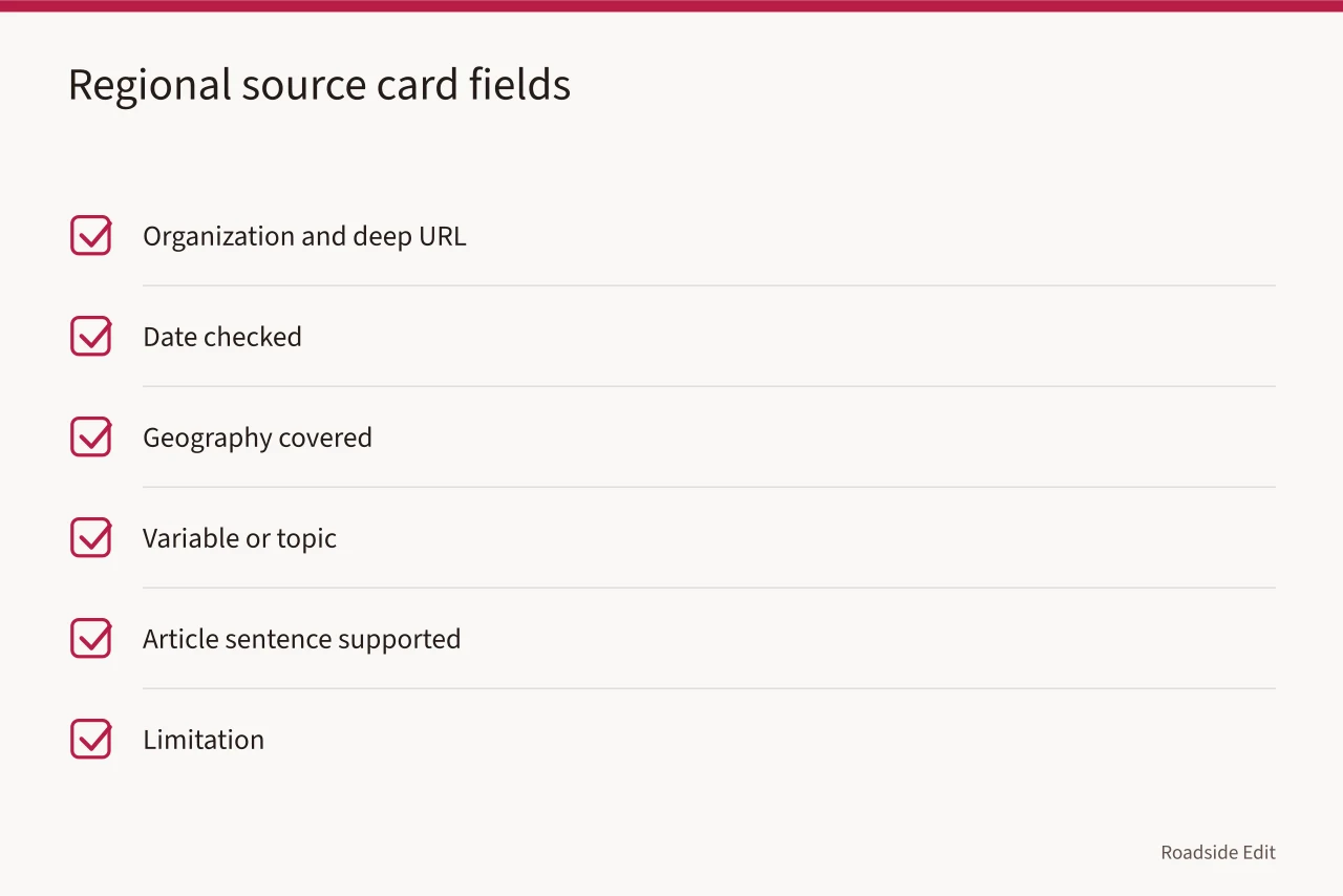
Start with a source card for each regional page. Include the organization, deep URL, date checked, geography covered, variable or topic, article sentence supported, and limitation. A card prevents a state or region source from being described as a finding at a named roadside property.
| Source-card field | Why it matters |
|---|---|
| Coverage area | Shows whether the source applies to the named place |
| Topic | Limits the claim to weather, history, planning, or another subject |
| Date | Separates current context from historical context |
| Article use | States what sentence the page supports |
| Limitation | Stops a background source from becoming property advice |
The National Park Service's Climate Change Response Strategy resources page links to planning and cultural-resource adaptation resources. It can help a writer locate background material. It does not determine a project, maintenance action, or expected outcome for a particular roadside building.
Keep regional and local records in separate lanes
Write two records whenever both are relevant. The regional record says what the source covers. The local record says what was observed, where, when, and from what authorized viewpoint. Neither should inherit claims from the other.
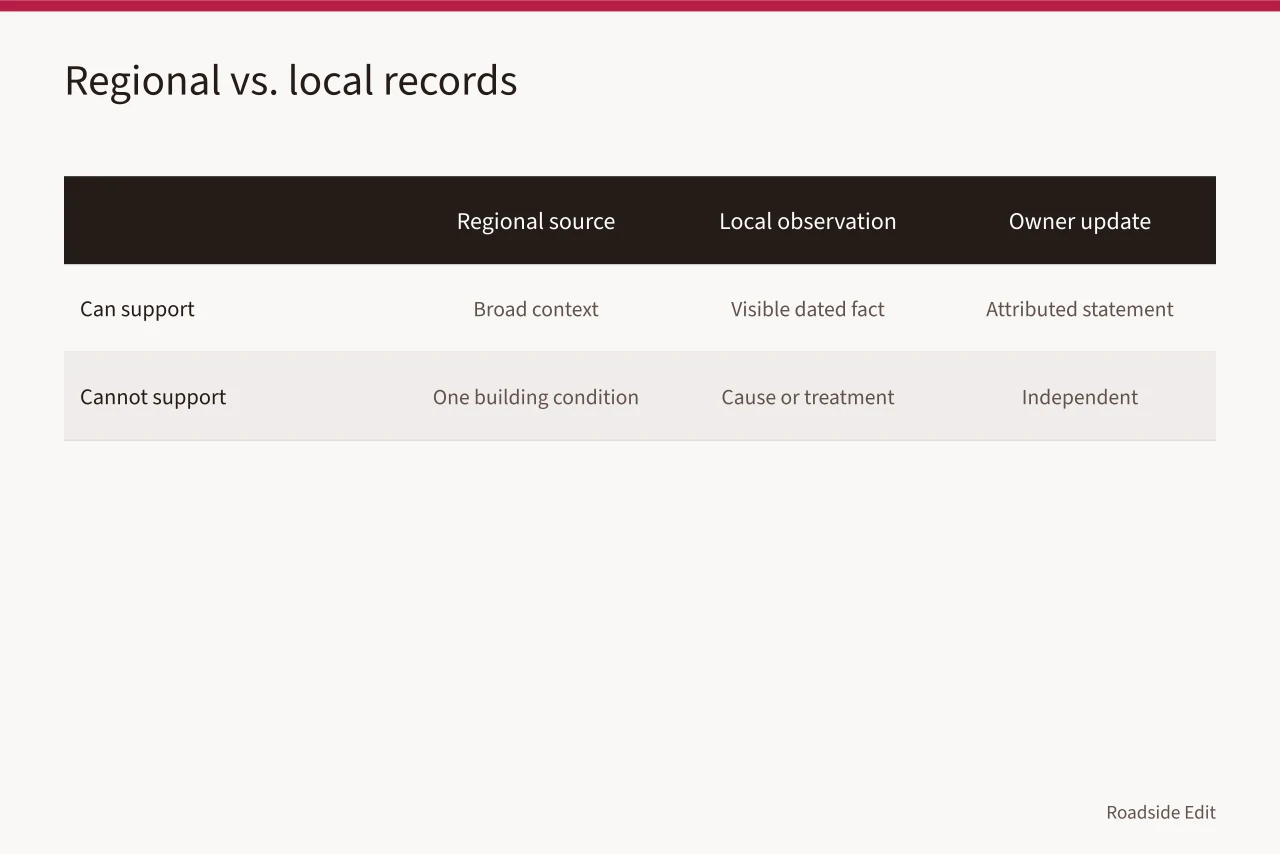
| Record | Can support | Cannot support |
|---|---|---|
| Regional source | Broad context for its coverage area | A condition at one building |
| Local observation | Visible fact at a date and viewpoint | Cause, diagnosis, or treatment |
| Owner update | Attributed current statement | Independent confirmation |
| Project announcement | Stated proposal or award | Completed result |
The Department of Energy's climate-zones overview describes Building America climate regions using factors including temperature and precipitation. It is an energy-planning resource, not a site assessment. Use it to locate regional context, then retain separate evidence for any property-specific statement.
Record season and weather as context
Season can change visibility and access. A wet path, harsh light, leaf cover, snow, or heat may explain why part of an area was not observed. Record those facts plainly. Do not claim that the season caused a building condition without property-specific support.
Good note: "Light rain during the walk; lower paving appeared wet from the sidewalk view." Bad note: "Rain caused pavement failure." The first states what was documented. The second introduces a cause the evidence has not established.
Check mapped and historic context carefully
Maps, inventories, and historical photographs can make a story richer. They also have scope. Record the map version, search location, or catalog date with the source. Do not call a map result a current safety, insurance, condition, or access finding.
The Federal Emergency Management Agency explains that the National Flood Hazard Layer provides flood hazard information for mapped areas. A map layer does not establish the current condition of a property or the right project response. Keep the map result as a defined background record and route any property decision to the proper responsible authority.
Keep provider claims in a separate file
A contractor, business, or local group may describe services in a region. Record the sender, date, service area, wording, and any payment relationship. Do not infer that the provider assessed a given property or that its offer is the right response to regional context.
The Federal Trade Commission says advertising designed to look like independent content should be recognizable as advertising. Read the FTC native-advertising guide. It does not evaluate regional claims. It supports a disclosure and a separate commercial record for paid or submitted material.
Review regional material on a schedule
Update source cards when a page changes, when a property article changes, and at the review date in the file. If a source no longer supports the published wording, revise or remove the wording. Keep a correction note with the old claim, new source, date, and reason.
The article is ready when every regional statement has a defined source scope and every local statement has its own evidence and limit.
Common questions
Can a regional climate source select a treatment for a building?
No. It can provide background context. A treatment choice needs appropriate property-specific evidence and responsible review.
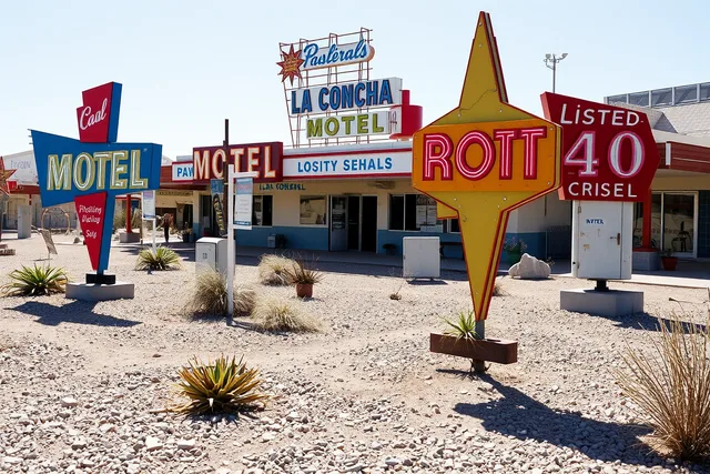
What should a regional image caption include?
Include the source, place, and contextual purpose. Do not use it as proof of another building's current condition.
How often should regional sources be checked?
Check when the article is updated, when the source changes, and at the review date recorded on the source card.