Guides
Part of Modern roadside design regional adaptation: a 2027 factor comparison for owners by U.S. region
Modern roadside design: 10 regional adaptation questions to ask before you act
Ten regional adaptation questions for roadside work, each tied to a dated local record, a named authority, the climate zone, or a step you can undo later.
What to take away
- Every question below asks for a dated record, not an opinion.
- Each one names who can answer it: a state DOT, a county, a tribal or federal land manager.
- NOAA Atlas 14, USGS StreamStats, EPA SWMM, i-Tree, FHWA INVEST and FEMA's National Risk Index cover six of the ten.
- A missing answer becomes the next task. It never becomes a default design choice.
- Close each review with one open question and the date of the next check.
The 10 regional adaptation questions
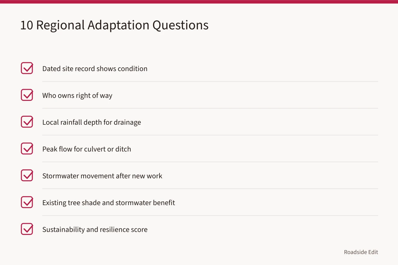
- Which dated site record shows the regional condition is present here?
- Who owns the affected right of way, easement, or adjacent land?
- What rainfall depth should local drainage design use?
- What peak flow should the culvert, bridge, or ditch handle?
- How will stormwater move after new pavement, curb, or planting?
- How much shade and stormwater benefit do existing trees provide?
- How does the project score for sustainability and resilience?
- What hazard risk does the county or census tract face?
- Which action can be reversed if monitoring changes the picture?
- What record or season will trigger the next review?
Work the list in order and skip a question another document already answers. A state DOT may publish a drainage manual. A county may hold a hazard mitigation plan. A tribe or federal land manager may run its own review path. Name the controlling document in the project file.
Where a question has no answer, write the missing record as the next task. A gap is a task, not a licence to pick a default.
Tools that answer the ten questions
| Question | Tool | What it gives you | Limits |
|---|---|---|---|
| 3 | NOAA Atlas 14 | Precipitation frequency depths by state | Check the current volume before you accept a regional number |
| 4 | USGS StreamStats | Streamflow statistics and basin characteristics | Screening step, not a substitute for a site survey |
| 5 | EPA SWMM | Runoff and pollutant load simulation | Free and open source; suits larger studies, not a curb repair |
| 6 | i-Tree (USDA Forest Service) | Tree benefits such as stormwater interception and shade | Free; does not decide whether a tree is safe |
| 7 | FHWA INVEST | Self-evaluation criteria for resilience, habitat, maintenance | Compares options before design approval |
| 8 | FEMA National Risk Index | Expected annual loss from 18 hazards, by county and tract | Frames the question; confirm against local records |
Drainage engineers size inlets, ditches, and culverts from published Atlas 14 depths, so the volume for your state matters more than a regional average.
Evidence sources and limits
The National Park Service sets out a cultural-resource framework that moves through research, planning, and stewardship. Its research, planning, and stewardship article will not pick an option for a roadside site. It supports a documented planning path before anyone treats adaptation as a single product purchase.
NPS resilience guidance recommends identifying risks and vulnerabilities, documenting the property, assessing feasible options, and weighing requirements. Read the NPS resilience guidance. It applies to historic buildings rather than every roadside site, and it narrows the question well: which option answers the concern while creating the fewest new problems?
The U.S. Climate Resilience Toolkit treats planning as documenting current conditions and making projections. Read the federal planning-and-land-use overview. It approves nothing locally. It keeps a regional planning context separate from a site-specific decision.
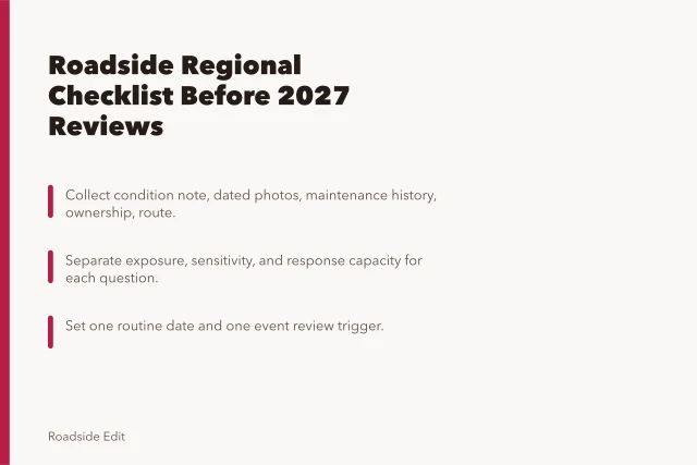
Hold three messages apart: the observed local condition, the regional source that supplies context, and the action still awaiting review. A paid listing or promotional profile stays separate from all three.
Close each review with one unresolved question and a date for the next check. NPS preservation-planning standards note that goals can change as new information arrives. Read the NPS planning standards. State the review trigger, so the next reader knows when an earlier answer may need revision.
Common questions
What is a good first adaptation question?
Start with the observed site condition that makes the regional context relevant, and the record that supports the observation. Without a dated record you have a hunch, not a finding.
Can a scenario answer an authority question?
No. A scenario can identify what to ask. Ownership and approval need current confirmation from whoever holds the easement or the permit.
Why prefer reversible actions first?
They let you monitor and learn while the team gathers evidence for a larger decision. An action you can undo costs less to be wrong about.