Guides
Modern roadside design regional adaptation: a 2027 factor comparison for owners by U.S. region
Compare NOAA norms, USDA hardiness, FEMA risk, EPA indicators, and USGS regional centers for roadside adaptation factors owners weigh before 2027.
What to take away
- Compare five public guides before 2027: NOAA U.S. Climate Normals, USDA Plant Hardiness Zone Map, FEMA National Risk Index, EPA Climate Change Indicators, and USGS Climate Adaptation Science Centers.
- Sort the site by named region: Northeast, Southeast, Midwest, Great Plains, and Southwest.
- Add Northwest, Alaska, and Pacific Islands in a second pass.
- Pair each regional factor with a local record and an accountable owner.
- Treat every regional guide as a question source, not a design approval.
The next model code cycle points to 2027. Owners who compare regional factors now can ask better budget and review questions.
Define the site before the region
Regional adaptation means little without a clear site description. Name the feature, its user, its boundary, and its purpose. A visitor sign, entry planting, drainage edge, or historic roadside facade has different needs. A pull-off, seating area, or pedestrian connection has other needs. Include the normal visitor route and staff maintenance route. local record
Then write what is known. That may include dated photos, a maintenance log, prior repairs, and a drainage observation. It may also include a plant inventory, seasonal closure, local weather record, or site plan. Write unknown information as unknown. A regional map cannot fill a missing boundary, utility record, structural assessment, or access approval.
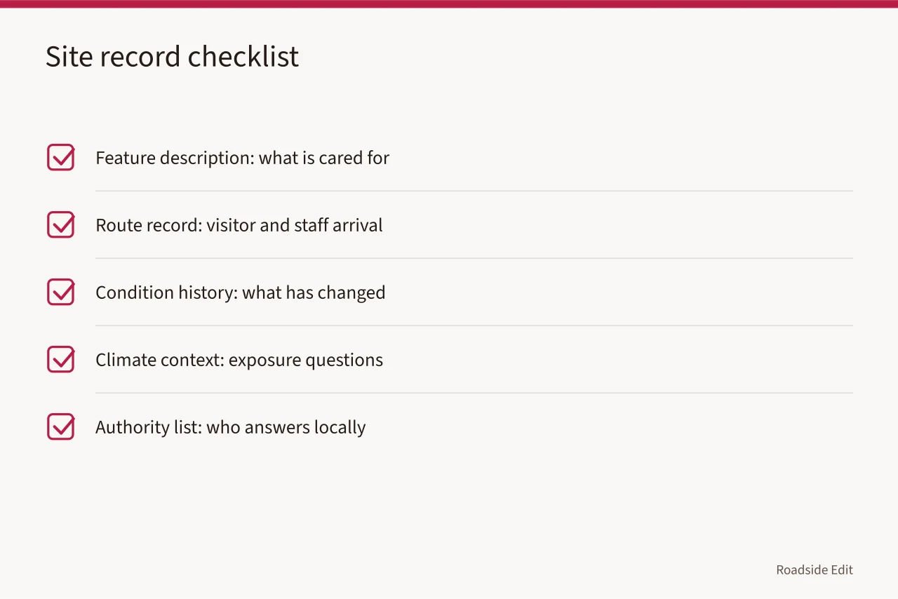
| Site record | Useful question | Evidence boundary |
|---|---|---|
| Feature description | What is being cared for or changed? | Does not establish ownership |
| Route record | How do visitors and staff arrive? | Does not prove accessibility status |
| Condition history | What has changed over time? | Does not prove a technical cause |
| Climate context | Which exposure questions deserve review? | Does not forecast one site |
| Authority list | Who must answer a local question? | Does not substitute for their decision |
Compare regional guides and factors
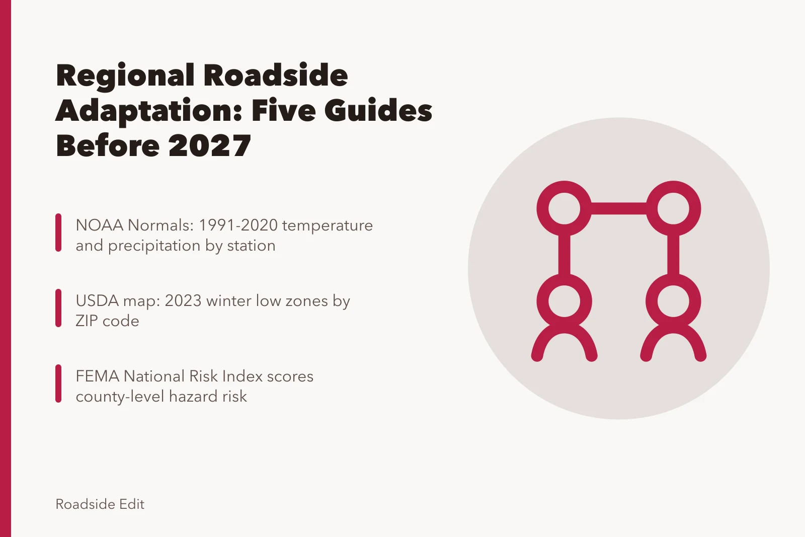
Five public guides help owners start. NOAA U.S. Climate Normals give 1991-2020 temperature and precipitation averages by station, USDA Plant Hardiness Zone Map gives 2023 winter low zones by ZIP code, and FEMA National Risk Index scores county-level hazard risk.
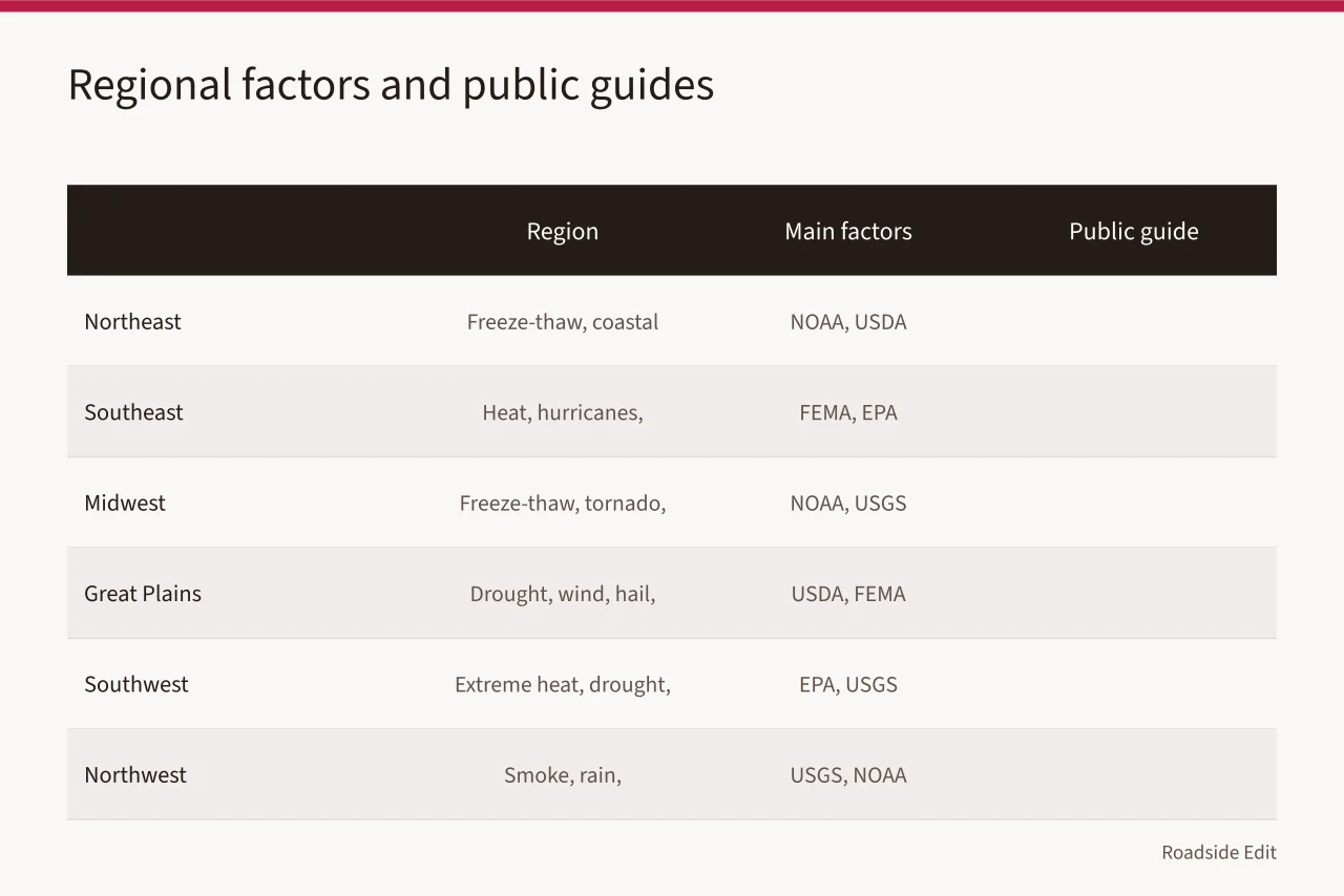
EPA Climate Change Indicators track national and regional trends, and USGS Climate Adaptation Science Centers fund regional science for eight U.S. regions. Each has limits; none approves a design.
| Region | Main factors to check | Public guide | Owner action before 2027 |
|---|---|---|---|
| Northeast | Freeze-thaw, coastal flooding, salt, heavy rain | NOAA Normals, USDA Zone Map | Check drainage and salt records each spring |
| Southeast | Heat, hurricanes, inland flooding, humidity | FEMA Risk Index, EPA Indicators | Review wind and water damage history |
| Midwest | Freeze-thaw, tornado wind, river flooding, snow | NOAA Normals, USGS North Central CASC | Set snow and flood inspection dates |
| Great Plains | Drought, wind, hail, wildfire smoke | USDA Zone Map, FEMA Risk Index | Track soil moisture and wind damage |
| Southwest | Extreme heat, drought, wildfire, flash flood | EPA Indicators, USGS Southwest CASC | Record heat days and drainage function |
| Northwest | Wildfire smoke, rain, freeze-thaw, landslides | USGS Northwest CASC, NOAA Normals | Review smoke and slope records |
| Alaska | Permafrost thaw, snow, ice, coastal erosion | USGS Alaska CASC, FEMA Risk Index | Check foundation and access changes |
| Pacific Islands | Salt, hurricanes, sea level, corrosion | USGS Pacific Islands CASC, EPA Indicators | Inspect corrosion and storm routes |
Regional evidence helps a team look beyond one good or bad day. The National Park Service describes a climate-response framework for cultural settings. It organizes understanding science, adapting to changing conditions, mitigating causes, and communicating about the issue. Its NPS climate-response strategy is not a treatment plan for a roadside property.
NPS climate-adaptation planning explains that monitoring can inform scenario consideration in planning. Read NPS climate-adaptation planning guidance. This does not predict a local outcome. It supports using a regional source to frame a question. Then test that question against dated site records.
The first step is not to select a material, plant, or feature. It is to identify the regional factor that might matter and the site record that could confirm or limit it. A regional concern about heavier rain can lead to a local question about ponding, downstream responsibility, drainage records, and inspection authority.
Separate exposure from vulnerability
Exposure describes a condition a site may experience. Sensitivity describes which part of the feature could be affected. Capacity describes the people, money, records, access, and authority available to respond. Keep those three categories apart.
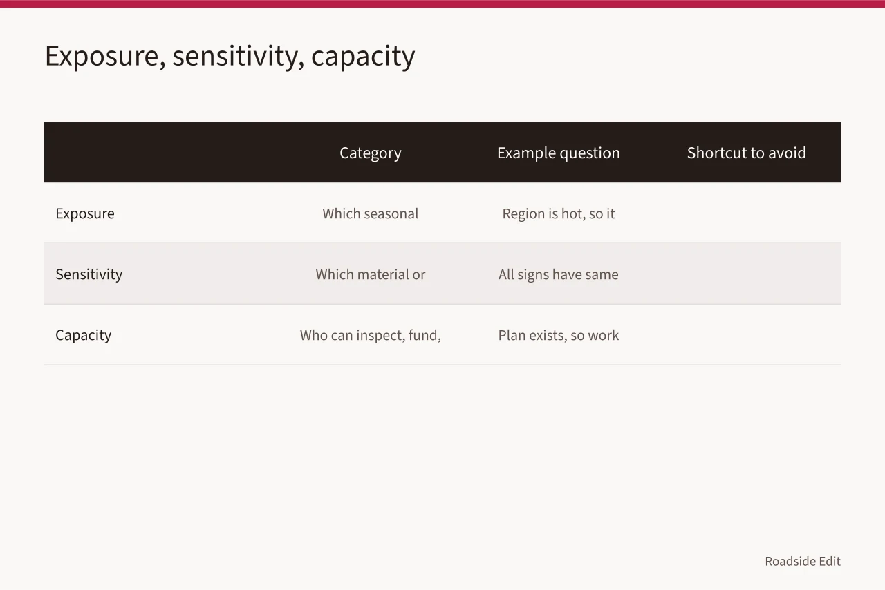
| Category | Example question | Incomplete shortcut to avoid |
|---|---|---|
| Exposure | Which seasonal conditions are relevant here? | 'The region is hot, so the feature will fail' |
| Sensitivity | Which documented material or route may be affected? | 'All roadside signs have the same weakness' |
| Capacity | Who can inspect, fund, or approve a response? | 'A plan exists, so work can begin' |
An exposure may be meaningful while the site remains low priority. The feature may be protected, rarely used, or easily maintained. An ordinary exposure may matter greatly on a critical route with little maintenance capacity. The goal is a decision record, not a dramatic risk score.
Learn from the operating year
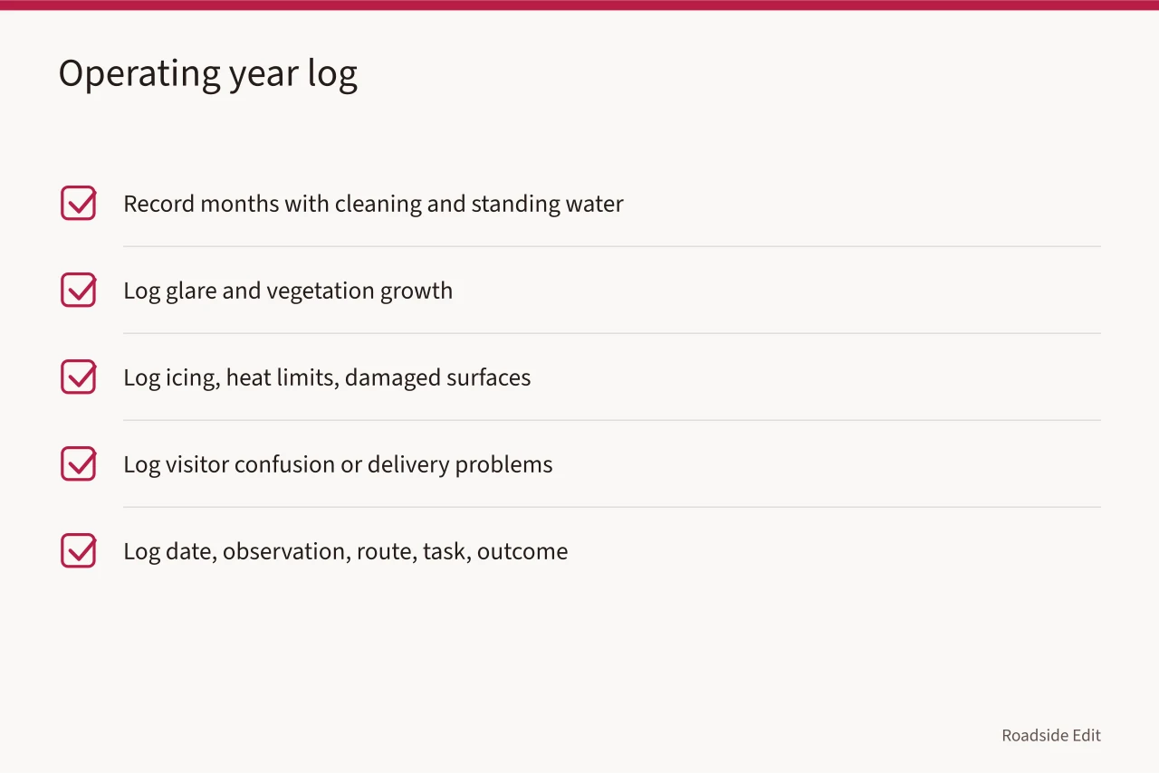
The best regional adaptation evidence often begins with ordinary maintenance records. Record months with cleaning, standing water, glare, and vegetation growth. Also log icing, heat limits, damaged surfaces, visitor confusion, or delivery problems. Log the date, observation, route, task, and outcome. Do not write a cause unless the appropriate source or reviewer has established one.
After a year, the record may show patterns worth turning into planning questions. A recurring washout after particular storms, repeated fading on one sign face, difficulty using a route during a seasonal event, or repeated vendor delay can justify a current review. The history makes a future comparison more useful than a generic claim about regional conditions.
Match actions to authority
Regional adaptation is not a license to act anywhere, but a feature's owner may not control the public approach, utility, or drainage outlet. The owner may lack control over a historic resource, adjacent tree, or traffic operation.
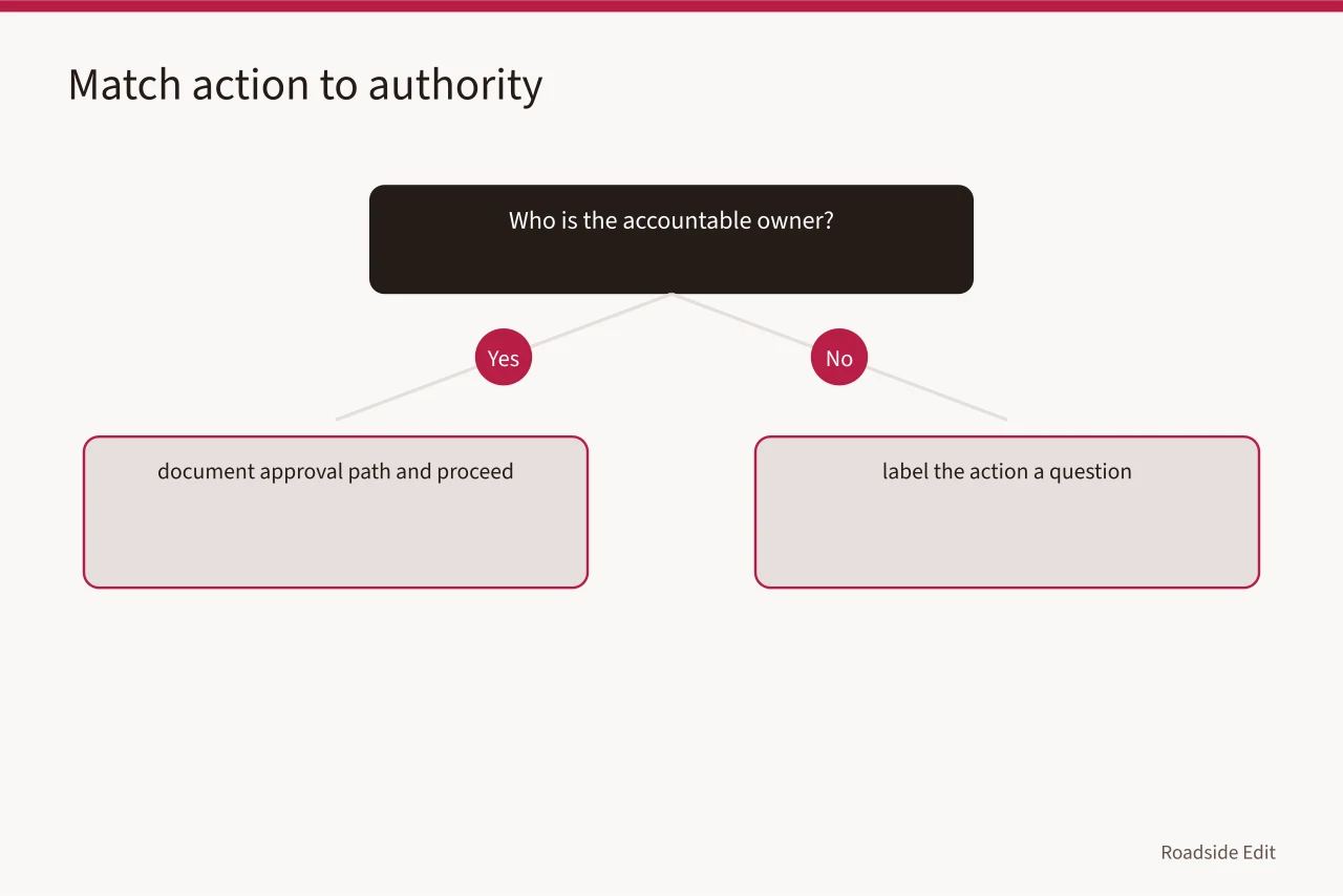
For each proposed action, name the accountable owner, approval path, consultation need, and source of the local condition record. If that answer is missing, label the action a question.
NPS resilience guidance recommends documenting the property, evaluating actual risks and feasible options, and considering relevant requirements before adaptation work. Read NPS resilience guidance. This guidance concerns historic buildings, not all roadside settings. It supports identifying the local decision path before calling an idea an adaptation treatment.
This matters for public-facing content. An article can describe an assessment method without telling readers that a site has been approved, made resilient, or brought into compliance. It can also separate a provider's stated service from evidence of an installed outcome.
Make a small scenario table
Use scenarios to compare decisions, not to manufacture certainty. A scenario can be a hot work day, heavy rainfall, closed access route, wind event, or longer maintenance interval. State the source of the condition and the uncertainty around it. Identify a reversible response such as a condition check, updated contact list, alternate work date, added inspection, or qualified review request.
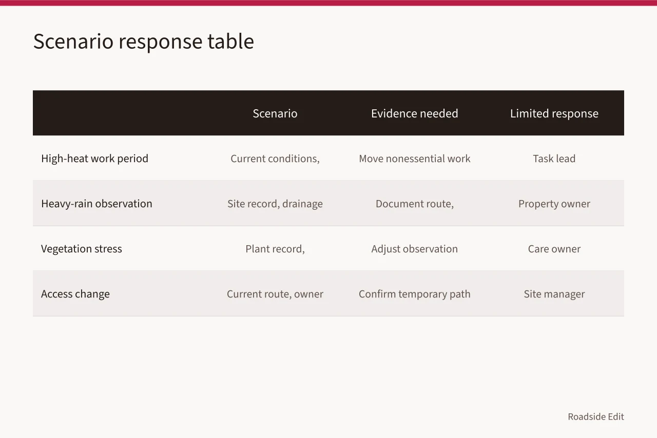
| Scenario | Evidence needed | Limited response | Owner |
|---|---|---|---|
| High-heat work period | Current conditions and worker plan | Move nonessential work or reassess schedule | Task lead |
| Heavy-rain observation | Site record and drainage authority | Document route and request review | Property owner |
| Vegetation stress | Plant record and maintenance history | Adjust observation interval | Care owner |
| Access change | Current route and owner record | Confirm temporary path or pause | Site manager |
Protect historic and community context
Some roadside features carry local history, community meaning, or a designated status. Regional adaptation should begin with documentation and current authority. Do not assume replacement is simpler than maintenance. The context may affect which changes need review, what information should be preserved, and how visitors should be informed.
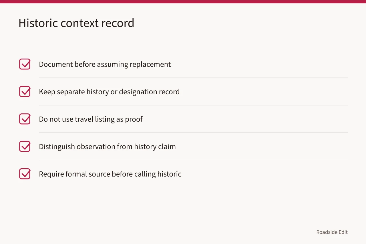
NPS documentation standards call for reliable source material and stated limitations that permit later checking. Read the NPS documentation standards. A roadside planning record is not formal heritage documentation. It should still distinguish a direct observation from a history claim, a provider statement, or a proposed action.
Keep a separate record for history or designation claims. Do not use a travel listing, caption, or vendor story as proof. A formal source may be required before an article describes a feature as historic, protected, approved, or publicly significant.
Budget for observation and review
A regional plan needs enough capacity to observe conditions, maintain records, obtain current local answers, and review recurring issues. These may be smaller costs than construction but are essential to an honest decision. Separate regular care from a change that requires a new scope, approval, or specialist review. Do not turn a regional prediction into a universal cost estimate.
Keep the review period visible in the budget. A one-time survey, a seasonal check, and an annual maintenance review are not interchangeable. The record should identify which period each estimate covers. Later managers should not mistake a pilot observation for a permanent operating commitment.
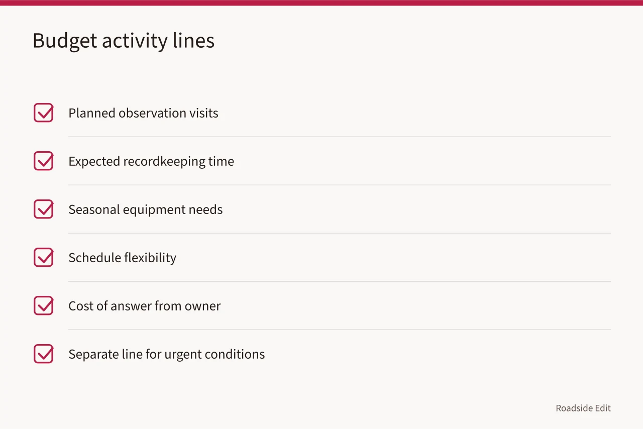
Build the budget from activities, not adjectives. List planned observation visits, expected recordkeeping time, seasonal equipment needs, schedule flexibility, and the cost of an answer from the right owner or adviser. Keep a separate line for urgent conditions that cannot be predicted from regional context. This makes later funding decisions easier to explain.
If a future listicle includes service providers, case studies, or products, label the commercial role. A business description is evidence of its own claim, not proof that a site will experience a benefit. Preserve quote dates, scope, and exclusions.
Review, revise, and retain the earlier version
Set a review date after a season, event, or project phase. Ask what the local record showed, what regional context changed the question, what action was taken, and what remains open. Keep the earlier plan version. The historical record helps a future owner understand why a schedule, scope, or owner assignment changed.
This is the core of regional adaptation: a repeatable process that learns from a real place without claiming to predict it perfectly.
Common questions
Does regional climate information tell me what to build?
No. It helps identify questions for local records, owners, and current approval processes.
What is the first record to gather?
Start with a dated description of the feature, its route, its condition history, and who controls the relevant area.
How often should a regional plan be updated?
Review after meaningful seasonal conditions, a documented event, a recurring issue, or a change in ownership or intended use.