Guides
Part of Modern roadside design regional adaptation: a 2027 factor comparison for owners by U.S. region
Modern roadside design checklist: regional adaptation scope before 2027 reviews
Modern roadside regional checklist for 2027 helps teams connect climate context to site records, ownership, maintenance capacity, and current local review.
Use this checklist to organize a regional-adaptation review without treating it as a forecast or approval. It begins with a real roadside feature, then adds regional information only where it creates a useful local question.
What to take away
- A regional label is not enough; name the feature and route first.
- Record what is observed, what is projected, and what is still unknown.
- Give each proposed action a local owner and current review path.
- Revisit the record after meaningful seasonal conditions.
Gather the starting record
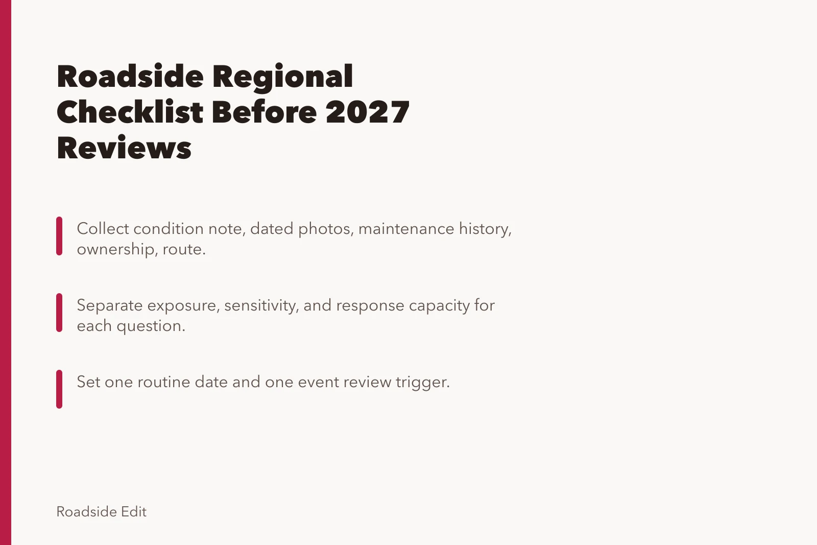
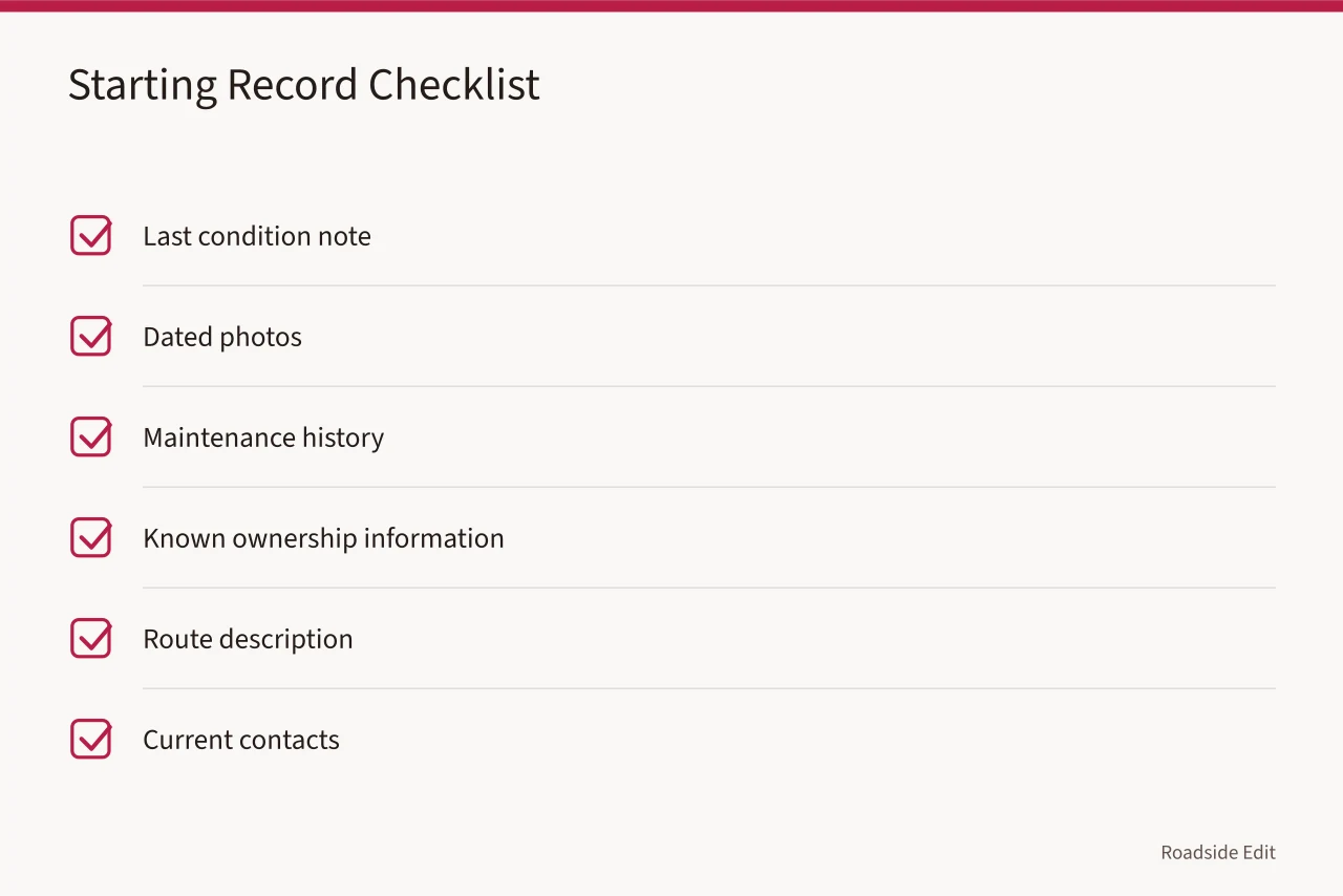
Collect the last condition note, dated photos, maintenance history, known ownership information, route description, and current contacts. If a task may involve a public approach, utility, drainage, historic resource, or traffic operation, make that authority question visible. Do not hide it inside a general maintenance task.
The National Park Service collects climate-change references for cultural settings and describes research, planning, and stewardship resources that can inform a site-specific process. Its NPS climate reference collection does not select a treatment for an individual roadside property.
| Checklist item | Evidence to gather | Decision boundary |
|---|---|---|
| Feature and route | Dated description and approach photos | Not a property survey |
| Local history | Work logs and recurring observations | Not a technical diagnosis |
| Regional context | Specific source and date | Not a site forecast |
| Authority | Owner or agency contact | Not automatic approval |
| Capacity | Care budget, staff, and record location | Not a performance guarantee |
Compare three conditions
For each question, separate exposure, sensitivity, and response capacity. Exposure might be a season or event worth reviewing. Sensitivity is the documented part of the feature or route that could matter. Response capacity is who can act, pay, inspect, or approve a change. A team should be able to leave any field unanswered without inventing an answer.
NPS climate-adaptation planning describes scenario consideration as a way to explore uncertainty and notes that monitoring information can inform planning. Read NPS climate-adaptation planning guidance. That federal guidance does not forecast a roadside site's future. It supports using dated regional information to frame local questions instead of claiming a precise site outcome.
| Planning term | Record it as | Avoid calling it |
|---|---|---|
| Exposure | A documented season, event, or condition to review | A prediction of damage |
| Sensitivity | Feature information and known limits | A technical diagnosis |
| Capacity | Owner, funds, records, and approval path | A guarantee of response |
| Option | A question for current review | An authorized treatment |
Set a review trigger
Choose one routine date and one event trigger. The routine date may follow a season; the event trigger may follow a documented storm, heat period, access change, repeated complaint, or unexpected maintenance result. State what the next review will compare and where the record goes.
Preserve the limits
Label recommendations as questions when ownership, permitting, or site evidence is incomplete. Do not describe a feature as adapted, resilient, or suitable until the applicable process and current evidence support that statement.
NPS guidance on resilience to natural hazards says to research actual risks, document the property, evaluate feasible options, and weigh relevant requirements before adaptation work. Read NPS resilience guidance.
It covers historic buildings, not all roadside design. The sequence: document first, identify a real risk, then evaluate an option at the correct local scale.
NPS preservation-planning standards also recognize that planning can occur at different scales and that goals change as new information becomes available. Read the NPS planning standards. A regional checklist should therefore identify its geographic limit, source date, and next review rather than borrowing a regional conclusion as a site decision.
Check the source before using it
Record publisher, page date, geographic area, and purpose of every regional source. Seasonal outlook, historical summary, local plan, and field observation answer different questions. Keep them in separate fields.
If a source is broad, write the local question it raises rather than copying its conclusion into a property claim. This protects the checklist from turning a useful context source into unsupported site advice.
Review the source again whenever the planned action, boundary, or site information changes.
Common questions
What is the first regional-adaptation task?
Create a dated local record of the feature, route, condition history, and authority questions.
Can a regional plan replace a local assessment?
No. It can organize the questions that a local record and responsible reviewer need to answer.
When should the checklist change?
After a meaningful condition, new evidence, change in use, or handoff to a different owner or manager.