Guides
Part of Before you write about roadside architecture, check the local record
Roadside architecture regional checklist: what to verify before you publish
A publication check for roadside architecture writing: match each claim to a source that covers the same ground, and keep photos to what they show.
What to take away
- Match every regional sentence to a source whose stated geography covers that exact place; a county figure is not a property fact.
- Keep the property note and the context note in separate fields, and publish them separately if no local record joins them.
- Captions and headlines carry the same burden as body text: appearance only, no cause, no diagnosis, no repair scope.
- Review captions and headlines against the source file at handoff, before the piece goes live.
- The regional guide covers how to frame a place; this checklist covers what to verify before publishing.
The claim and the source must cover the same ground
Most bad regional writing fails on reach, not on facts. A sentence says a corridor town floods, and the note behind it cites a statewide precipitation summary. Both are true. They do not belong together.
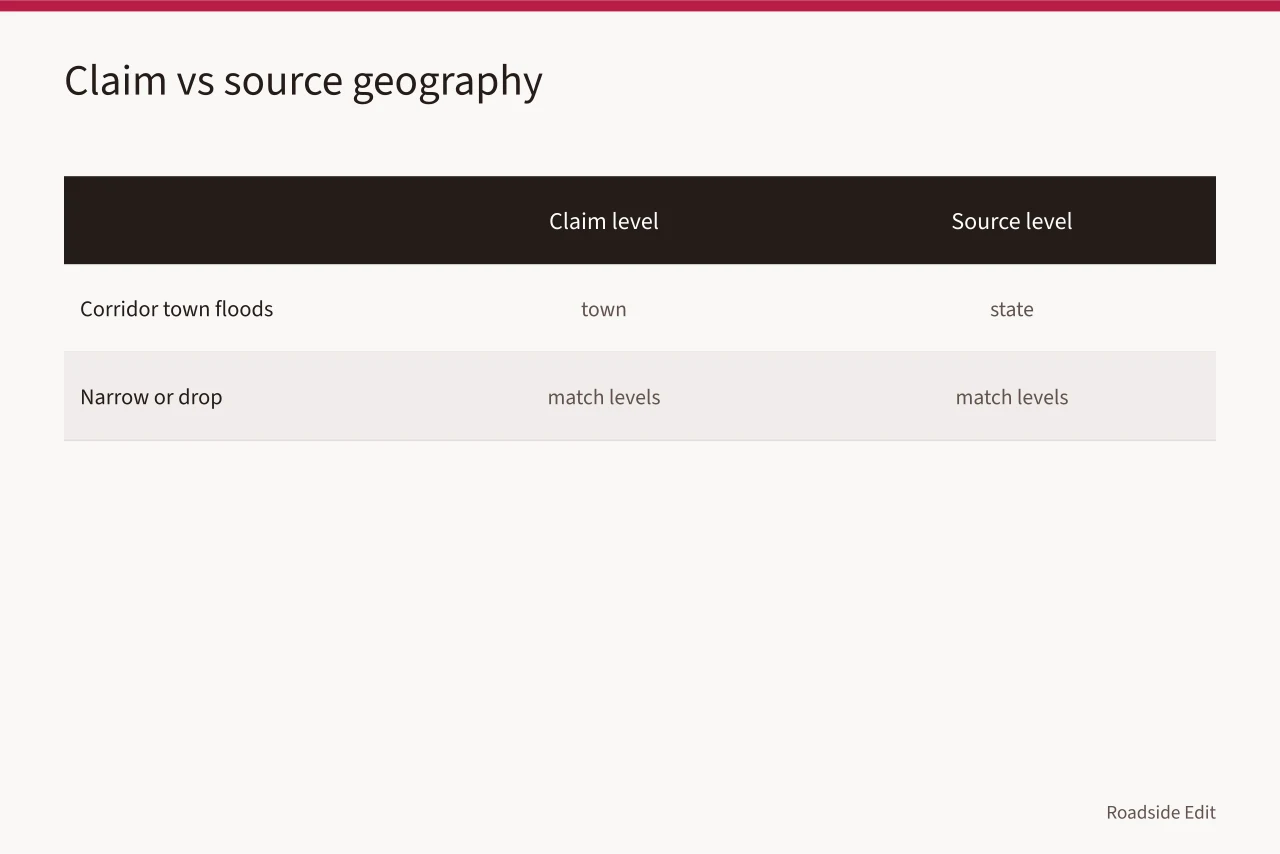
Write the source's geographic level next to the claim while drafting:
- parcel
- block
- town
- county
- climate division
- state
- region If the levels differ, narrow the sentence until they match or drop it.
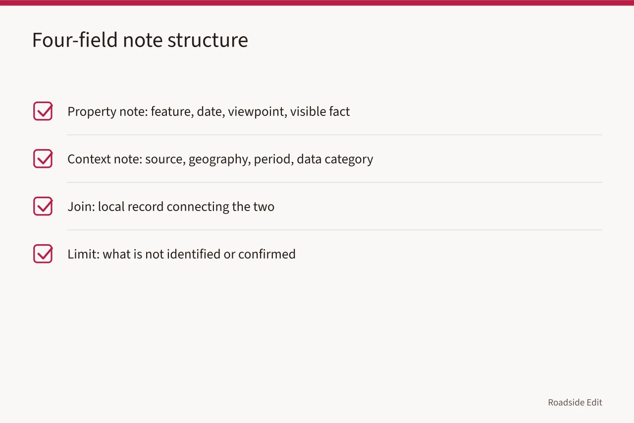
| Field | What goes in it |
|---|---|
| Property note | Feature, observation date, viewpoint, visible fact |
| Context note | Source, its geography, its period, its data category |
| Join | The local record, if one exists, that connects the two |
| Limit | What is not identified, visible, or confirmed |
The National Park Service documentation standards ask for records drawn from reliable sources with limitations stated so another person can check the work. Read the NPS documentation standards. A two-field note is the smallest version of that habit.
Pick the right climate record
NOAA Climate Data Online returns station and gridded records by location, with temperature, precipitation, wind and normals. Search NOAA Climate Data Online. Use it to find what was recorded, and to name the station and its period in your note.
A station forty miles away may sit at a different elevation, on a shoreline, or inside a heat island the property never sees. Whether it is a fair stand-in is a judgment about terrain and exposure, and it belongs in the note, not in the sentence.
The NPS cultural-resources impacts table pairs measurable trends with observable phenomena and possible resource sensitivities. Review the NPS impacts table. It is a planning frame. It cannot tie a specific stain or missing panel to a cause.
Captions and headlines carry the same load
A caption is a claim with less room to qualify it. "Storm damage" over a photo of a spalled brick pier asserts a cause the image cannot show. "Spalled brick at the northeast pier, March 2026" states what the frame holds.
Two checks catch most caption failures:
- Read the caption alone, without the article. Does it still claim only what the photo shows?
- Read the headline alone. Does it promise a cause, a diagnosis, or a repair the body never establishes?
FEMA describes the National Risk Index as a screening and communication aid, not an estimator for one property. Review FEMA National Risk Index documentation. Headlines built on it should say "county risk category," never "this station is at risk."
Keep the two notes apart until a local record joins them
A dated photo supports appearance at a time. A context source supports a regional category. A project record supports its own scope and date. None of the three supports a diagnosis, and merging them in one paragraph is how proximity becomes proof.
If no local report, permit, or archive item connects the context to the property, publish them as separate sections. Readers follow that fine. What they cannot follow is a sentence that quietly promotes a county average into a fact about one canopy.
The neon sign guide handles the same split for sign work: the tube count and transformer load come from the sign, the regional supply and customs picture comes from elsewhere. Keep them in different fields there too.
The NPS climate guidance for cultural resources notes that changing weather patterns add preservation pressure. Read NPS on climate and cultural resources. That sentence belongs in a context section. It is not evidence about one building.
Run the publication check
Before the piece goes live, test each regional phrase against four questions. Does it name a source that covers this geography? Does that source support the sentence beside it? Does the caption state only what the photo shows? Is a question being published as a confirmed fact?
Then hand the draft to the next editor with the source file attached and one instruction: read the property note and the context note before changing a caption or headline. Caption edits are where cause claims sneak back in, because the caption is short and the fix looks cosmetic.
For the wider question of when to bring in a surveyor, engineer, or preservation consultant, see choosing roadside building help. This checklist stops at what you can verify from records and photographs.
When a property's condition, ownership, or eligibility matters to the story, cite the dated survey or record and name who holds it. The case study questions list the questions worth putting to that source before you quote it.
Common questions
Does a state climate source apply to every town in the state?
Only to the extent of its stated geography. A statewide normals summary describes the state. For a claim about one forecourt, find the nearest station record, note its distance and elevation, and say in the text how far the comparison reaches.
Can a photo show that weather caused a condition?
No. A photograph records appearance at one moment from one viewpoint. Cause requires a materials assessment or a dated record of the event, and that means naming the engineer or conservator who made it.
Is this checklist a repair plan?
No. It is an evidence-control tool for writers and researchers. Any scope of work, structural question, or hazardous-materials concern goes to a licensed professional and to the authority having jurisdiction over the property.
Where does the local compliance answer come from?
From the adopted ordinance and the office that administers it, usually the State Historic Preservation Office or the local landmarks commission. This checklist tells you to cite them; it does not tell you what they will say.