Guides
Part of Gas station preservation: regional adaptation questions to ask before 2027 plans
Gas station preservation: regional warning signs to check before 2027
Regional warning signs for gas station preservation point to named records like SHPO plans, flood maps, tank files, and hazard zones to check before 2027.
What to take away
- A regional warning sign is a prompt to pull a named record, not a diagnosis of the property.
- Five records cover most of it: the SHPO plan, the effective FEMA map, the NOAA storm history, the tank closure file, and the state hazard zone.
- Date every note and name who acts on it next.
- Write what you saw and when you saw it. Leave cause to the licensed professional.
- A sponsor statement never replaces a current project record.
Start with the state historic preservation office
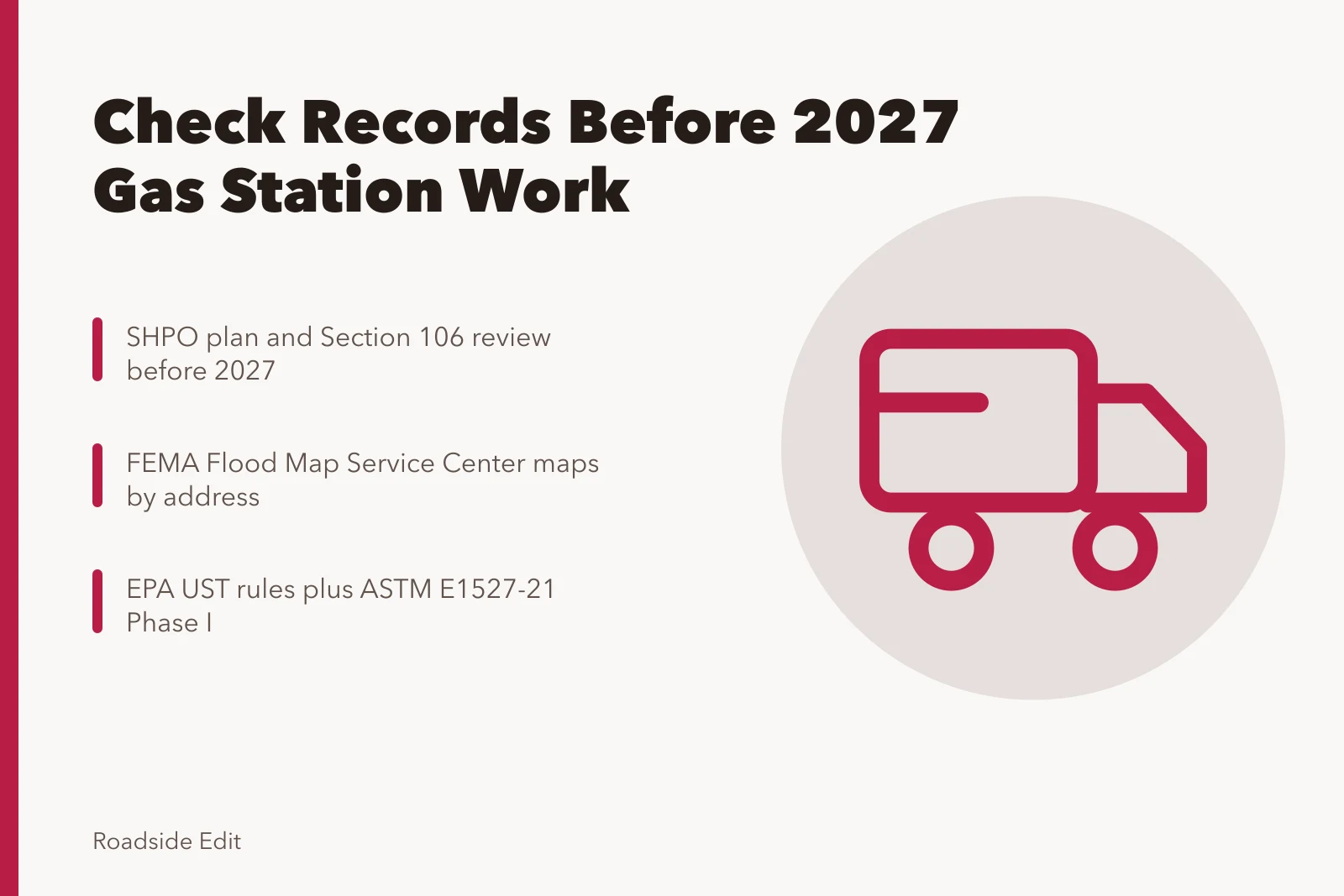
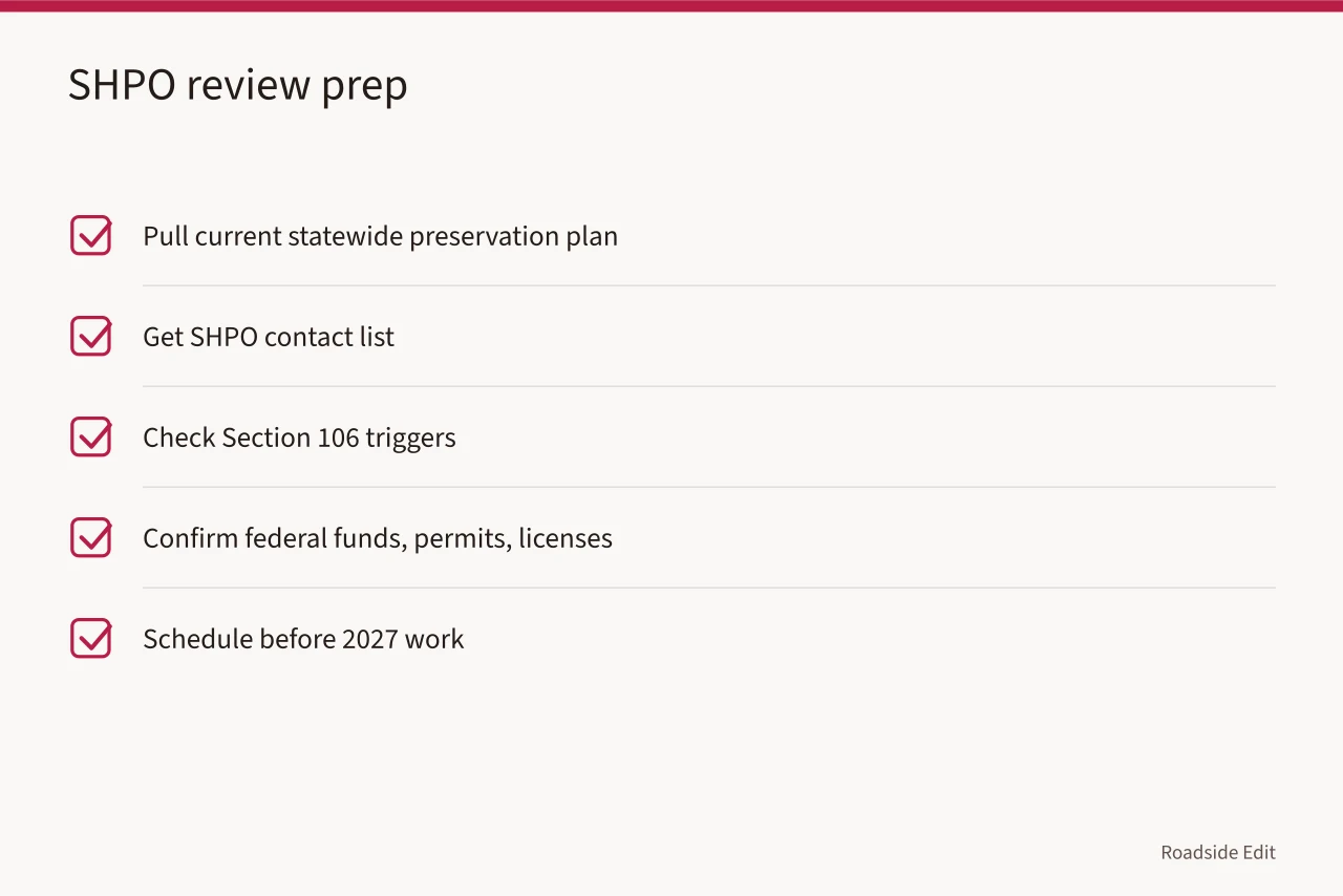
Every state and territory runs a State Historic Preservation Office. Staff there keep the statewide preservation plan and review federal undertakings under Section 106 of the National Historic Preservation Act. A station project that touches federal funds, permits, or licenses usually enters that review. Pull the current plan and the contact list before you schedule 2027 work.
The National Park Service lists floods and storms among threats to historic places. Read it as background. It is not a finding about your station.
Check flood maps and storm records
The FEMA Flood Map Service Center publishes effective Flood Insurance Rate Maps, free to search by address. A map shows a zone. It does not show whether water crossed a station threshold.
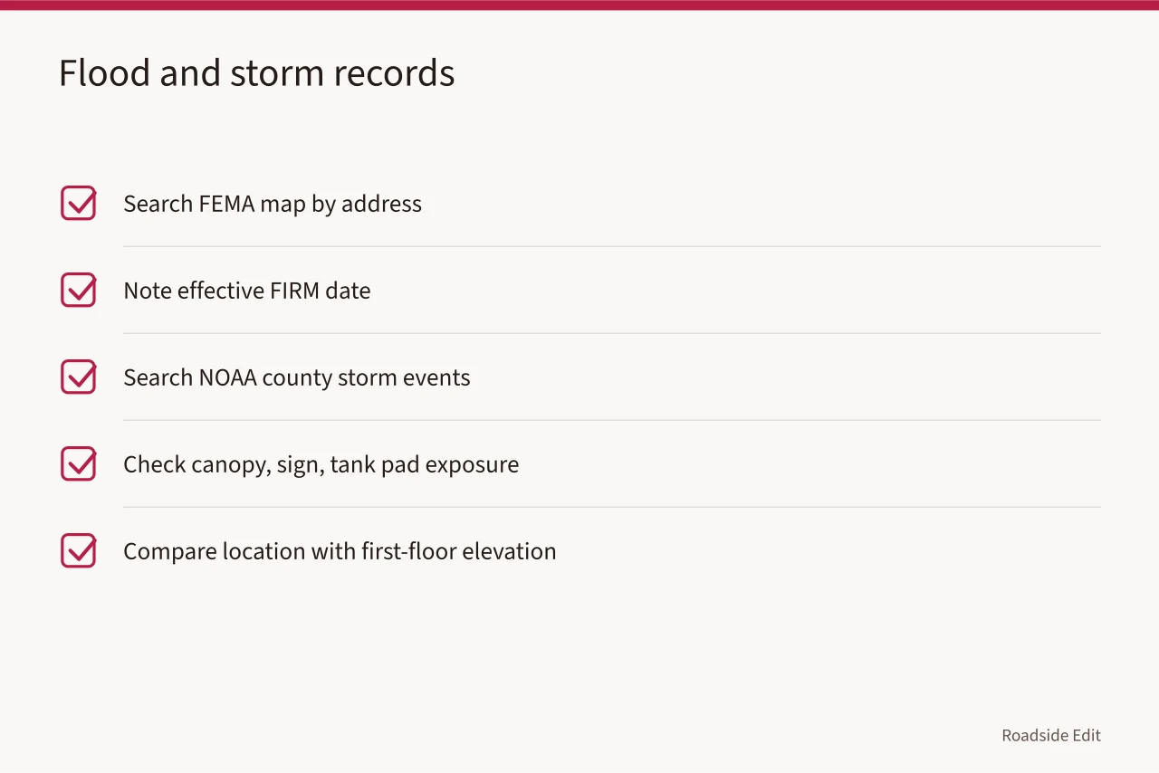
NOAA's Storm Events Database, run by the National Centers for Environmental Information, records county-level storms from 1950 forward. Search the county, then ask what the record implies for canopy, sign, and tank pad exposure.
The NPS coastal flood-planning example pairs location with first-floor elevation to frame future storm and sea-level exposure. It supports monitoring. It is not a cause or treatment claim.
Review underground storage tank records
The EPA Underground Storage Tank program sets federal rules for leak detection, corrosion protection, and financial responsibility. Many states run their own cleanup funds, and eligibility and deductibles differ by state. Any 2027 purchase or restoration plan should start with a tank search and the closure record.
ASTM E1527-21 governs Phase I Environmental Site Assessments under EPA's All Appropriate Inquiries rule. A Phase I has a shelf life, and some components need updating within 180 days. It is not a cleanup plan.
Map wildfire, seismic, and freeze-thaw zones
The USDA Forest Service Wildfire Risk to Communities tool offers free maps and data at community scale. It is not a parcel-level judgment. Western stations should also check the local fire marshal and the state fire hazard severity zones.
The USGS Earthquake Hazards Program maps hazard by location. It does not evaluate a specific building. In the Northeast and Great Lakes, NOAA climate normals help set inspection timing around freeze-thaw. Hail and wind reports sit in the same Storm Events Database.
Use historic designation rules with care
The National Park Service administers the National Register of Historic Places. The Federal Historic Preservation Tax Incentives program offers a 20 percent credit for income-producing certified historic buildings, with SHPO and NPS reviewing the work. A station may qualify if it keeps its character-defining features. The credit is not a grant and not automatic.
Keep the records-management overview in mind when you file applications and photographs. Retain the dated source, the observation note, image provenance, and a correction log.
Build a 2027 regional review card
One card per station. Five fields: the region named by the source, the source date, the event type, the property section, and the follow-up owner. Five fields fit one page.
| Region type | Record to name | Who follows up |
|---|---|---|
| Coastal | FEMA map effective date, NOAA storm event | Local floodplain administrator |
| Inland flood | USGS streamgage, county emergency manager | County emergency manager |
| Wildfire | State fire hazard zone, USDA community risk map | Local fire marshal |
| Seismic | USGS hazard level | Local building official |
Keep the card with the project record, not in a separate file.
Watch paid claims and regional marketing
The Federal Trade Commission's endorsement guidance covers disclosure of material connections. Put any disclosure next to the supplied claim it qualifies. Payment should not set the risk language.
A regional warning signs page can list a flood map date, a storm record, and a SHPO contact. It should not call a station climate-proof, resilient, or damaged without a property-specific source.
Write observations, not diagnoses
Water was visible near the west entry after rain on June 3, 2026.
- A public event is proposed for summer 2027. The second claims expertise or approval nobody has granted. When a local issue changes, update the date and strike the uncertain language.
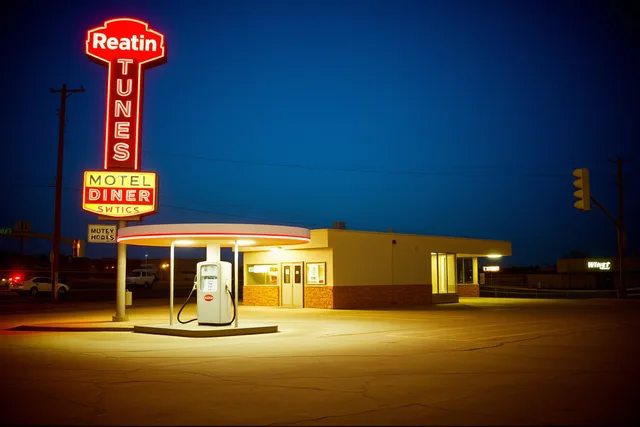
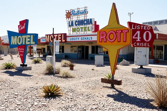
The image is illustrative. It does not identify a warning condition at another property.
Common questions
Does a warning sign mean a project must stop permanently?
No. It means the current assumption pauses until the responsible party reviews it. Name that party on the review card so the pause has an end.
Can a writer identify the cause of deterioration from an image?
No. An image supports an observation, not a diagnosis. Cause belongs to the licensed engineer, electrician, or environmental authority with site access.
Should a paid listing be removed when facts change?
Correct or qualify the outdated claim. Payment does not override a supported correction, and the FTC guidance applies to the corrected version too.
Where do the tank and cleanup questions go?
To the state UST program and your environmental consultant. Closure records and fund eligibility are state-specific, so ask the agency that holds the file.