Guides
How to build a roadside architecture research plan before you start fieldwork
A roadside architecture research plan sets the research question, the shot list, the site map and the visit log before a single fieldwork frame is taken.
Roadside architecture research usually starts badly: three names for one building, a reskinned facade, a thin public record, and an owner's story nobody can date.
A plan fixes that before you drive out. It gives you a question narrow enough to fail, a shot list, a visit log, and a written boundary on what the article will not claim.
This is an editorial method for a piece about a diner, motel, service station, or neon sign. It also covers a tourist court, drive-in, bridge, or commercial strip. It is not a preservation survey, a legal opinion, a property assessment, or an access permit.
What to take away
- Write the question so a different answer is possible, then write the boundary sentence that lets you leave tempting claims out.
- Give every source one job and record what it cannot prove alone.
- Shoot from public viewpoints only, and log date, time, weather and vantage point before you forget which site was which.
- Keep consent notes, raw interviews and unlicensed images in a private project folder, never in the draft.
- Decide your stop point in advance, and treat narrowing the article as a result rather than a failure.
Write a question that can fail
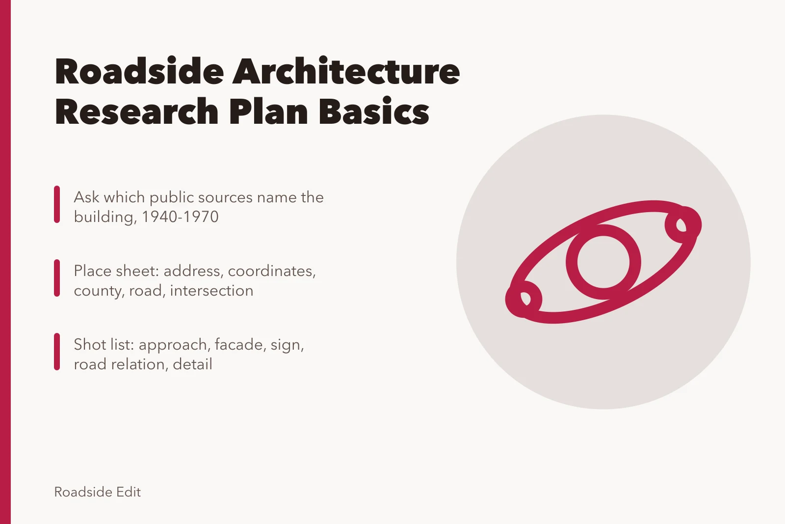
"Why is this landmark important?" assumes the building is a landmark and that its importance is settled. "Which dated public sources name this property and show its road-facing changes between 1940 and 1970?" gives you something to test.
The National Park Service treats a research design as a statement of scope, expected information, methods, sources, and proposed results. Read the NPS guidance on historical documentation research design. A web feature does not need the full federal process, but it needs the same first decision: what will this work establish before you collect anything.
Put two sentences in the project file.
- Working question: "What can dated public material show about the roadside form and name history of this property?"
- Boundary: "This article does not assess the interior, ownership, structural condition, property value, or future plans."
The boundary is the useful half. It gives you permission to drop a claim you cannot support, and an unconfirmed opening year is exactly the kind of claim that makes a story sound finished while making it wrong.
Pin the place before you chase its history
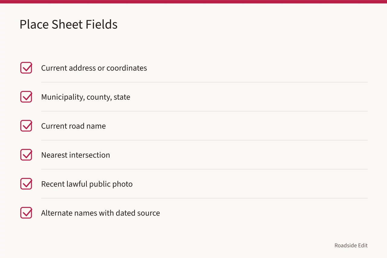
Open a place sheet with the current address or coordinates.
Roadside sites misidentify easily. A business name travels, a highway gets rerouted, and a motel office and its cabins can carry separate street numbers. A sign outlives the business it advertised.
Before you decide an old photo or map shows your site, match two stable clues, such as a cross street and a rail line.
| Check | Record in the plan | Why it matters |
|---|---|---|
| Current location | Address, coordinates, municipality | Stops a same-name mix-up |
| Historic names | Each name with its source and date | Keeps searches and captions traceable |
| Physical scope | Sign, building, court, parcel, or corridor | Stops nearby features being folded in |
| Time boundary | Years the article will discuss | Ends the open-ended history search |
| Public viewpoint | Where a current photo can lawfully be taken | Separates observation from access |
When the name and the location disagree, make the disagreement a research task. Do not pick the prettier version. "Address match not yet established" is a note that saves hours of drafting and a correction later.
Give each evidence lane one job
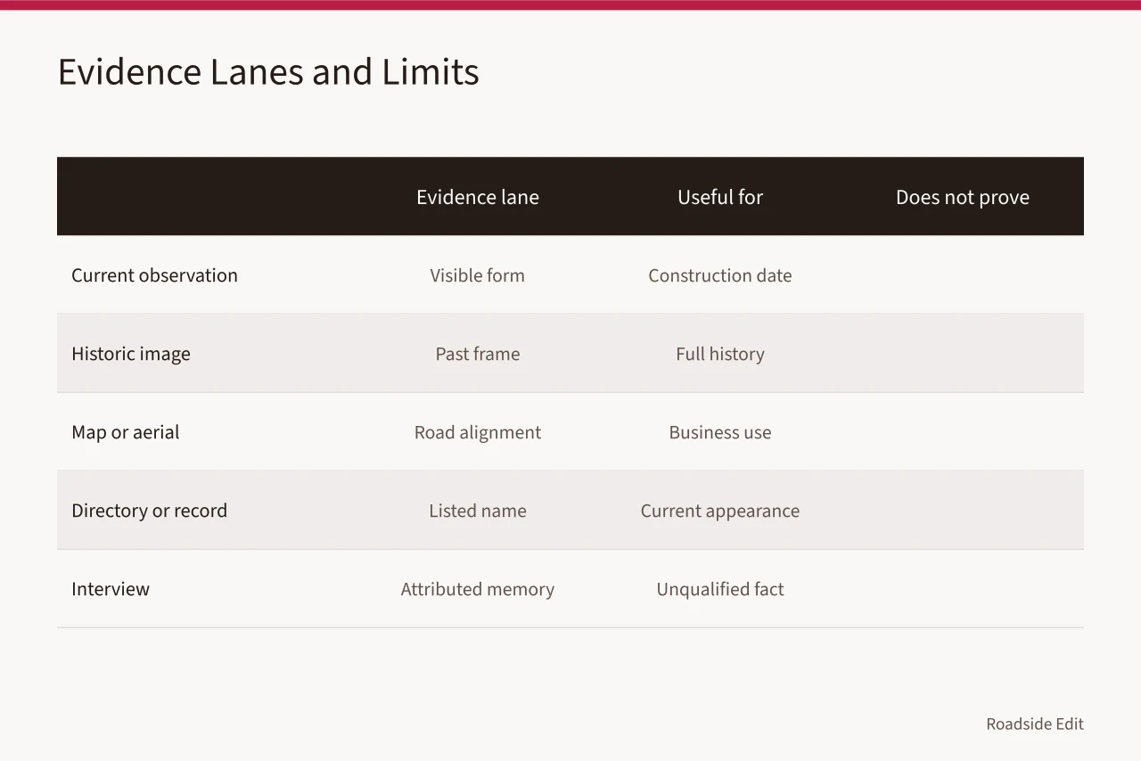
A current photograph shows a facade on one date. A historic photograph may show an earlier sign, material, or street view. A map supports a route relationship at its edition date. A directory can place a named business at a listed address. An interview preserves one person's account.
The Library of Congress asks researchers to weigh a source's creator, purpose, audience and context, and to check whether other material agrees or conflicts. Use the Library of Congress primary-source analysis guidance. Ask those questions while planning, not after publication.
| Evidence lane | Useful for | It does not prove alone |
|---|---|---|
| Current observation | Visible form, traffic approach, visit date | Construction date or interior condition |
| Dated historic image | What stood in frame at that time | A full property history or later changes |
| Map or aerial image | Road alignment, named features, mapped relationship | Business use or an exact build date |
| Directory, permit, official record | Listed name, address, action, date | Current appearance or a cultural conclusion |
| Interview | Attributed memory and new leads | An unqualified factual claim |
Give every row a source identifier. For a web item, cite the record page, not the homepage. For an archive, include collection, box or folder, and item number. A homepage is a starting point, not proof.
Plan the visit as observation, not access
You may observe a roadside property from a public place. That does not authorize entry, interior photography, conversations with workers, or use of a private driveway. Keep the visit proportional to the assignment.
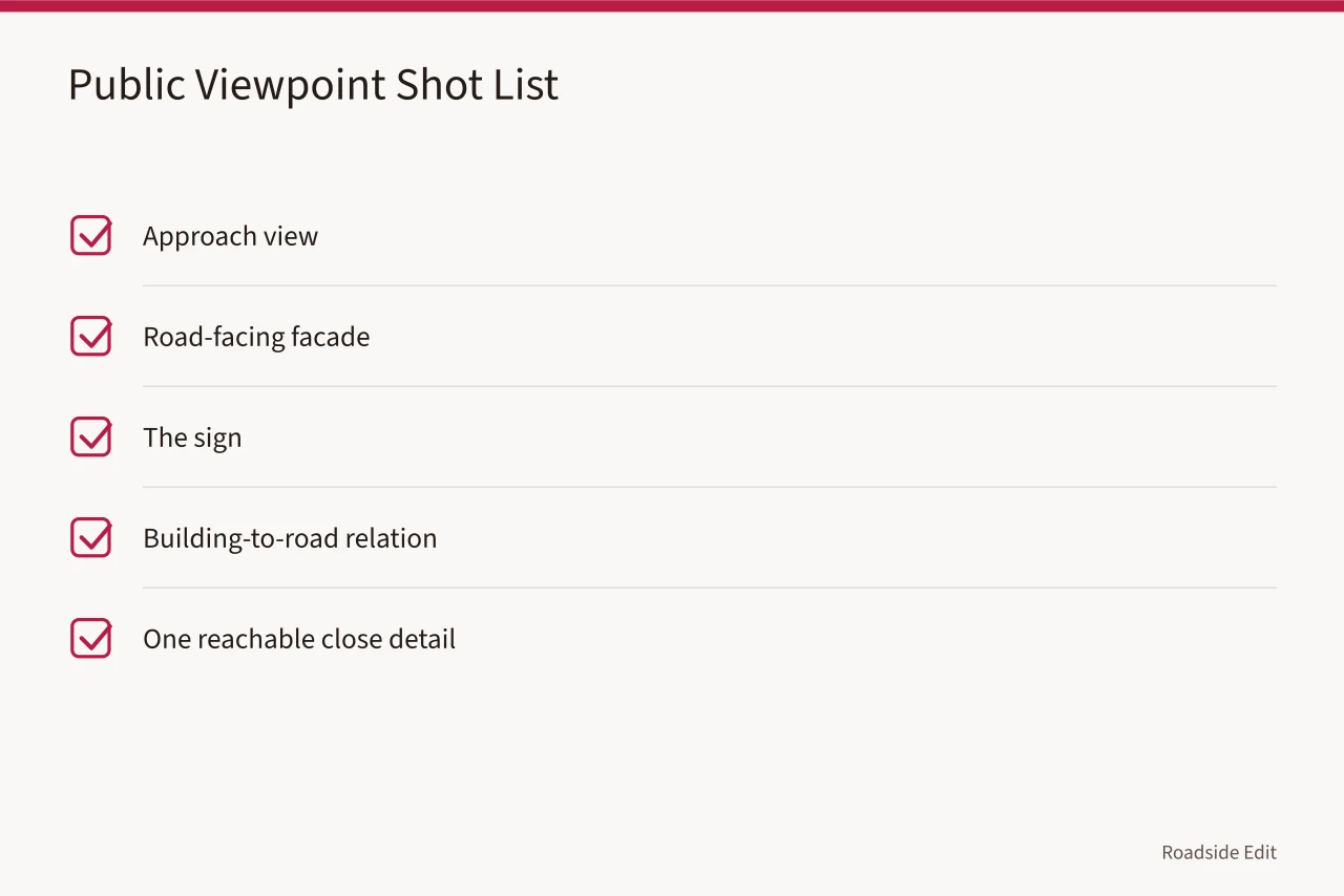
Build a shot list before you leave: approach view, road-facing facade, the sign, the building's relation to the road, and one close detail you can reach without crossing a boundary. Pick the details your article actually discusses:
- A canopy soffit
- A dry-stand pipe
- A pump-island footprint
- A chrome-edge booth trim
- A butterfly roof line
- A curtain-wall glazing bay
Log the date, time, weather and vantage point privately. That log is what stops you describing site four from memory while looking at site six.
The National Park Service documentation standards call for material prepared from reliable sources with limits stated so others can check it. Review the NPS standards for accurate historical documentation. The editorial version is shorter: label an observation as an observation, keep the original file, and never fill an unseen detail with a guess.
| Field note | Example |
|---|---|
| Visit record | June 14, 2027, public sidewalk on the west side of the road |
| Visible | Freestanding sign, one-story front elevation |
| Blocked | Rear elevation behind fence; no entry requested |
| File reference | 2027-06-14_sitecode_01.jpg through _06.jpg |
| Rights | Original photographs by the writer, or permission status if another photographer shot them |
Traffic, structures and utilities are not yours to judge. Do not stop where traffic is unsafe, do not climb or move anything for a better frame, and do not open a canopy, a transformer enclosure or a tank cover. If the view you planned is unavailable, say so in the article or change the angle.
Read maps at the size of their evidence
Maps locate a route and show how a place was drawn in one edition. They do not hold a building's whole history. Record title, date, scale, publisher, sheet and stable item page. Then write the finding at the size of the source.
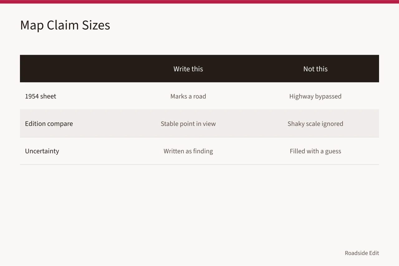
"The 1954 sheet marks a road in this corridor" is an observation. "The highway bypassed the business in 1954" needs a transportation record that establishes the change and ties it to the business. Those two sentences look similar and are not.
When you compare editions, keep one stable point in view on every sheet: an intersection, a bridge, a rail crossing, a river bend. If scale or alignment makes the comparison shaky, write that down. Uncertainty is a finding.
Handle interviews as attributed material
Interviews are the best source for sensory detail, local vocabulary, personal use, and leads into records. They also carry private information and imperfect chronology. Explain the project and its expected use before you start, ask whether the person agrees to be recorded, and ask how they want to be identified.
The National Park Service interview guidance recommends explaining the project, requesting consent for recording, asking open questions, and writing field notes afterward. Follow the NPS oral-history interviewing guidance. Keep the date, the participant's role, the consent choice, the quotation and any follow-up leads in a private note.
In the article, attribute plainly:
- "In a 2027 interview, a former counterman recalled..."
- "A neighbor described the sign as..."
- "The interview identified a 1960s photograph as a possible lead."
None of those becomes a fixed date or a town's opinion without a record that says so. When a record and a recollection conflict, the record carries the factual sentence and the recollection can still run as a recollection.
Keep files, rights and revisions in one place
Say in the plan where original files live and who can open them. The draft should never contain phone numbers, email addresses, unapproved photographs, raw interview audio, or notes about anyone's private life.
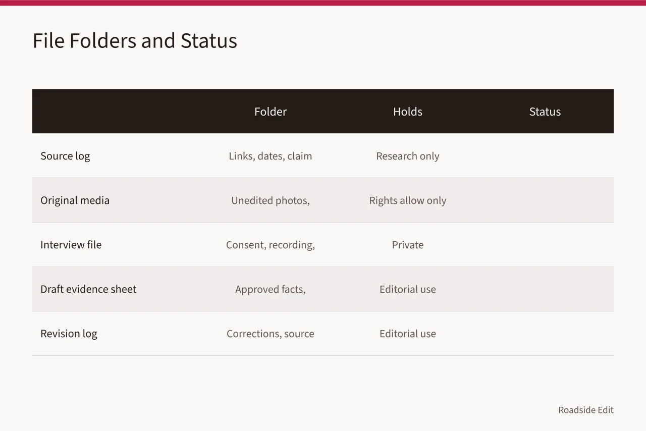
The National Archives describes records management as controls over a record from creation through disposition. See the National Archives overview of records-management concepts. A small editorial team can borrow the idea without building a federal program.
| Folder or register | Holds | Publication status |
|---|---|---|
| Source log | Stable links, identifiers, dates, claim notes | Research only |
| Original media | Unedited photos, scans, license details | Only when rights allow |
| Interview file | Consent note, recording, transcript, contacts | Private |
| Draft evidence sheet | Approved facts, quotations, captions, credits | Editorial use |
| Revision log | Corrections, source changes, dates rechecked | Editorial use |
Name one person who can trace any published sentence back to its source without redoing the research. That single role is what makes a correction cheap instead of a rebuild.
Set your threshold and your stop point
Do not wait for every source that might exist. Decide what the article needs before it can run: a confirmed location, two sources behind the central point, one dated visual or current observation, rights cleared for each image and quotation, and a stated limitation.
The threshold should match the piece. A roundup of roadside restaurants needs verifiable current details and a review date. A historical profile needs evidence for every historical statement.
Anything touching preservation needs to avoid implying it is an official finding or a compliance review. Before you commit to that angle, work through the gas station preservation research questions that shape what a pre-2027 study can and cannot establish.
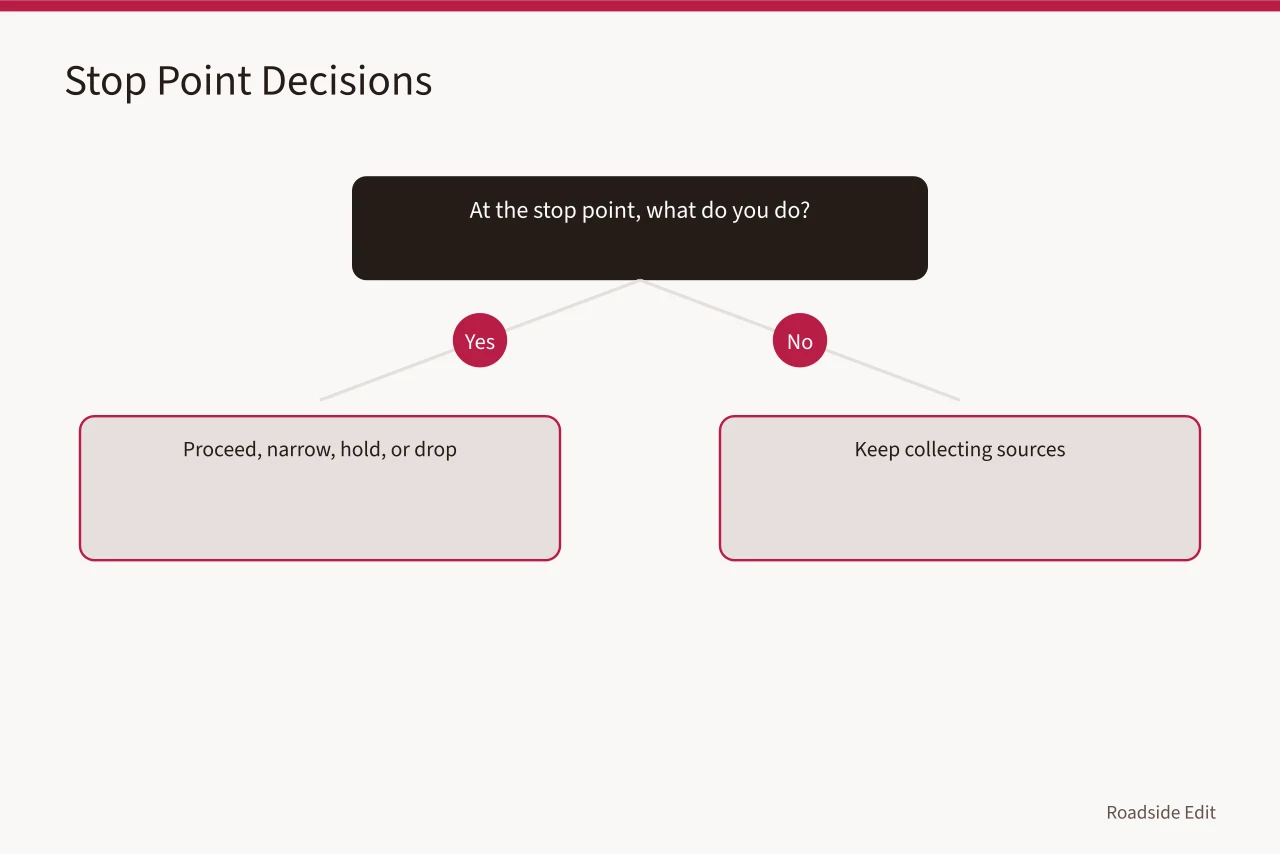
At the stop point, act on one of four decisions: proceed, narrow, hold, or drop. That step belongs to the drafting session, not to fieldwork, and it is the difference between a tight article and a long one that describes a lot and establishes nothing.
Check the draft against the plan
Before the draft goes to an editor, put each material statement beside its source. The source has to support that sentence, not the general topic. The photo credit has to point at the item page.
Read every sentence about a date, access, condition or owner twice, because those four change and get misread. Then ask two questions: does the article answer the original question, and does it claim more than the evidence carries?
If the second answer is yes, cut the claim. A short, limited article is publishable because a reader can see what it knows and where that came from.
Common questions
How many sources does a roadside article need?
As many as its material claims require, and no more. Each source should have one clear job. Extra links never repair an unsupported sentence.
Can an interview carry the article?
It can carry an attributed account of one person's experience, and it often supplies the details photographs miss. Check names, dates, ownership and historical statements against records before you print them as fact.
What if the research kills the original story idea?
Then the idea changes. A narrower question or a different angle beats forcing the first idea onto thin material, and the plan is what makes that visible early instead of at the edit desk.
In this guide
- Roadside architecture context questions to ask before you publishRoadside architecture context questions for 2027 show how to connect a roadside building to its route, town, photographs, and documentary evidence.
- How to keep a roadside architecture source log before you publishRoadside architecture source log guide for 2027 explains how to record source pages, dates, claim limits, access notes, and corrections before publication.
- How to review a roadside architecture map before you publishRoadside architecture map review guide for 2027 explains how to compare historic maps, read symbols, track editions, and state map evidence without overclaiming.
- How to keep roadside architecture interview notes others can trustRoadside architecture interview notes for 2027 show how to seek consent, ask useful questions, label recollections, and preserve a defensible research record.
- How to write a roadside architecture research brief before you draftRoadside architecture research brief for 2027 gives editors a usable format for scope, sources, gaps, permissions, and publication limits before drafting begins.