Reviews
Part of How to plan a roadside building workflow before the draft exists
Roadside building planning questions before you compare property records
Roadside building planning questions help editors compare property records, map Route 66 listings by state, and flag what a survey still needs to settle.
A 1950s porcelain-enamel station sign and a 1960s plastic-faced box sign can sit on the same lot and still come from two different decades of the same business. Roadside building planning questions start there: two records are not in conflict just because they disagree.
What to take away
- Sort every record by decade and material before comparing wording. A porcelain-enamel panel and a plastic-faced box are different objects with different dates.
- The NPS Route 66 listings page groups National Register properties by state and community, so a state name is a starting point, not a property.
- A topographic map supports a location or a visible feature. It does not establish ownership, use, or condition.
- Keep a dated change note beside every correction, so a later editor can see what moved and why.
- When a fact is open, name the office that owns the answer instead of writing around it.
Match the record to the decade and the material
Route 66 corridors were built in layers. A 1926 alignment, a 1930s realignment, and a 1950s widening can all cross the same county, and each left its own roadside architecture. Map the corridor by decade first, then by material.
The features that date a property are canopy soffits, dry-stand pipes, neon tube diameter, and transformer load. Other features include diner booth laminate, chrome-edge trim, forecourt drainage, and pump-island footprints. A brick veneer motel, a curtain-wall glazed motel, and a butterfly-roof motel are three different construction moments, not three styles of the same building.
The NPS Route 66 listings page organizes National Register properties by state and community. Consult the NPS Route 66 National Register listings. It identifies listed properties and districts. It is not evidence of current hours, ownership, or completed work.
Run the planning field table
Before an article calls for a survey, a repair, or a listing, write the decision question down. One limited fact per row. The table below is the working format; it is not a form to file.
| Planning field | What to retain |
|---|---|
| Decision question | The single fact or choice the record has to support |
| Existing source | Dated page, photograph, catalog record, or attributed update |
| Open fact | Missing condition, permission, status, or ownership detail |
| Next authority | Owner, agency, or qualified reviewer who owns the answer |
| Change note | Date and source of any later correction |
Fill the open fact column honestly. "Canopy soffit condition unknown" is a usable row. "Canopy appears sound" is not, unless a dated survey says so.
Read photographs and maps for what they can carry
The National Archives advises that photographic materials need context about their history and handling. Read National Archives guidance on photographs. That guidance does not authenticate a specific roadside image. It supports keeping the source, the date, and the limits beside the observation.
The U.S. Geological Survey explains that topographic maps represent natural and man-made features. See the USGS explanation of topographic maps. A map can support a location or a visible-feature statement. It cannot establish present ownership, current use, condition, or project approval.
For property questions that may involve historic resources, the National Park Service publishes professional qualification standards across several disciplines. Review the NPS qualification standards. They do not designate a building or endorse a provider. They tell a reader which discipline to look for when the project and the authority require it.
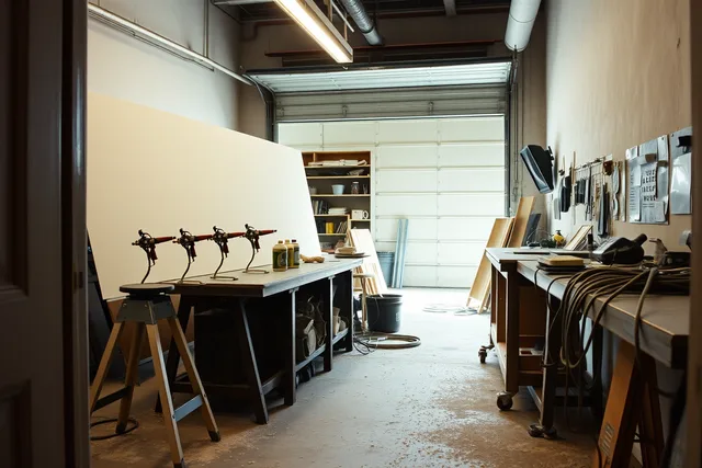
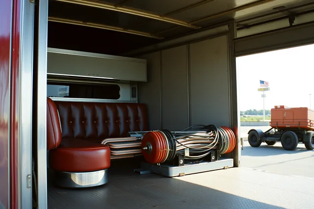
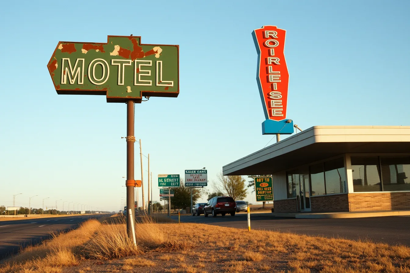
The image is illustrative. It does not establish current condition, ownership, safety, or project status.
Write the handoff note
A handoff note is the last thing written and the first thing the next editor reads. It carries the source list, the date checked, and the claims each source supports. It also carries the open questions, the correction contact, and any material submitted by an owner or provider.
Keep submitted updates attributed. Never rewrite a historic listing as a present-tense fact. When two sources conflict, show both and name the record that would settle it: a dated survey, a deeds office, a State Historic Preservation Office file, or the local landmarks commission.
Salvage sourcing adds its own rows. Neon parts and diner booths brought in from Canada carry customs paperwork, and that paperwork is provenance. Record the importer, the date, and the entry number, or the object loses half its documentation.
This method gives a reader a next step without pretending an editorial page can decide permits, safety, access, or final scope. A clear unknown beats a smooth claim the record cannot support.
Common questions
Which source controls when two records disagree?
Neither one controls by default. Compare their dates, subjects, and issuing authority, then use each source only for the claim it can actually support.
Does a National Register listing prove current use?
No. A listing speaks to significance and period, not to present operations. Use a current, dated source for current use.
How do I handle a feature I cannot date?
Log it as an open fact with the survey date and the source. Name the qualified reviewer who can date it, and leave the row open until that answer arrives.