Guides
Roadside design studio regional checklist: how to keep area data from becoming site claims
Roadside design studio regional checklist for 2027: verify geography, match sources to scale and date, and avoid turning regional data into site claims.
"Regional" sounds precise until a project team has to define it. It might mean a county, a state planning area, a climate division, a highway corridor, a cultural region, or a radius around one address. Those are not interchangeable. A regional checklist keeps a roadside design article from borrowing the authority of a large map for a small, unsupported claim.
Use this checklist before publishing a regional profile, a corridor guide, a comparison, or a studio concept that refers to local conditions. It is a research process. It does not establish property ownership, construction suitability, permit requirements, a forecast, or the condition of a particular site.
What to take away
- Define the geography in the first working note, then use sources that match that geography.
- Keep the source date, data period, and stated purpose beside each regional claim.
- Treat a map or index as context, not proof of a site-level result.
- Separate historical context, current public data, and local decision authority.
Name the place before naming the region
Start with the article's subject: a road segment, town, service station, sign, or group of roadside businesses. Record the place so another researcher can find the same subject without guessing.
A project may need a street address, cross streets, a corridor milepost, coordinates, or a documented map reference. Do not publish private addresses or access details unless the reader needs them.
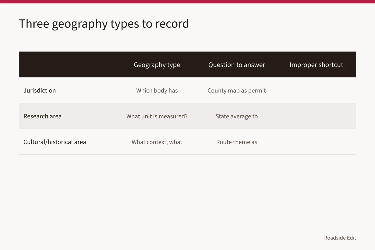
Next, make three separate entries:
| Geography type | Question to answer | Example of an improper shortcut |
|---|---|---|
| Jurisdiction | Which government body has authority over the relevant decision? | Calling a county map a permit approval |
| Research area | What unit does the source actually measure? | Applying a state average to one storefront |
| Cultural or historical area | What context does the source describe, and for what period? | Treating a route theme as a property designation |
The Census Geocoding Services documentation explains that geocoding can return latitude and longitude from a structured address, and its optional Geographic Lookup adds information about geographic areas covering those coordinates. Read the Census geocoding documentation.
The result is a useful research check, not a declaration of ownership, district membership, or legal boundary. Record the input used, the date, and any mismatch between the returned geography and the article's intended subject.
Use an explicit scope sentence in the working file, naming the county and the corridor. Add that it does not describe conditions at each property. That line protects the final draft from sliding into claims the source cannot support.
Build a source card for every regional claim
A good regional article does not need a large pile of citations. It needs a small set that readers can trace. For every source, make a card before drafting. A card prevents a common editorial error: using an accurate number or map with the wrong scale, date, or question.
| Source-card field | What to record |
|---|
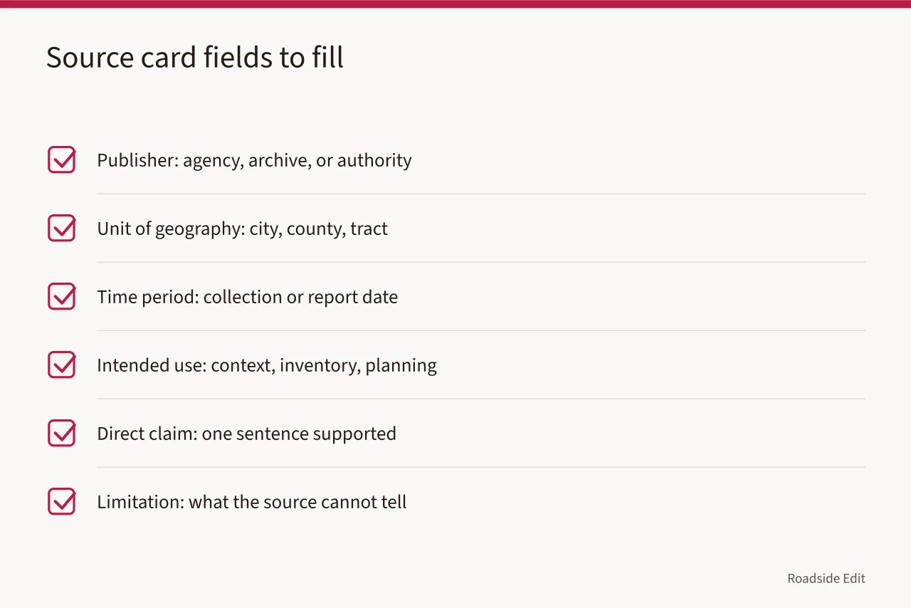
Avoid a source card that says only "regional statistics." That phrase hides the decision that matters. If a figure came from a county, say county. If an archival map describes a road at a particular date, say that date. If a study applies to a planning area, do not relabel it as a neighborhood result.
For current environmental context, check both the measure and its time status. NOAA's Climate at a Glance information page says the tool is intended for the study of climate variability. It notes that some recent data are preliminary and may change after quality control.
Review NOAA's Climate at a Glance data information. A studio should identify the selected parameter, location, period, and retrieval date. It should not call the result a prediction for a building or a guarantee about a coming season.
Match a data set to its scale
Regional tools help by placing a place in a broader pattern, but they mislead when the article erases the tool's scale.
A county value cannot confirm a parcel's condition, and a tract-level score may not speak for every block. A route map may show a named corridor without showing every place readers associate with it.
Use this checklist when a source includes a map, score, index, or aggregate:
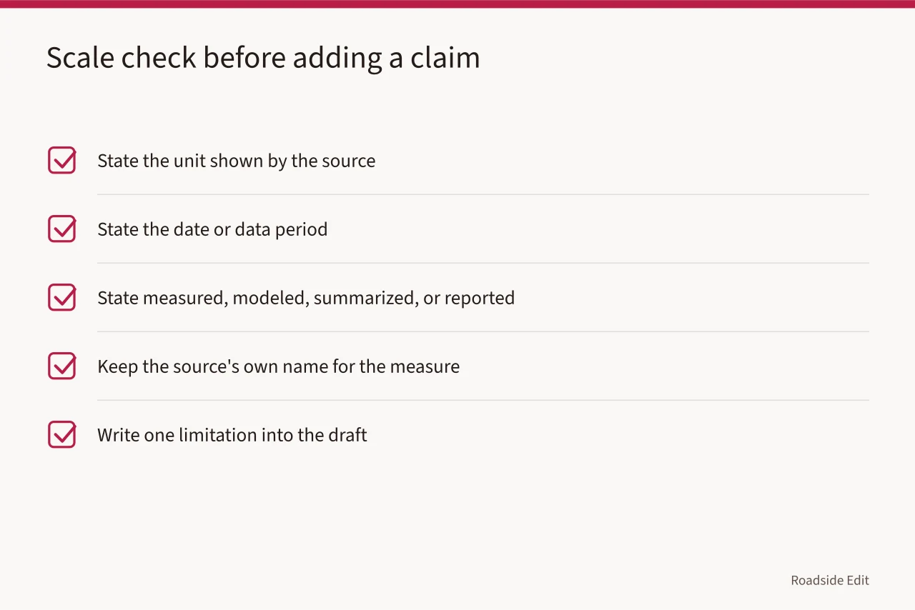
FEMA's National Risk Index technical documentation describes aggregation from Census blocks to Census tracts and counties. See FEMA's National Risk Index technical documentation. The tool may help frame a broad regional question, but an aggregated index does not determine the exposure, damage, insurance, safety, or future outcome of a named roadside property.
The same restraint applies to positive labels. Do not say a town is "prepared," a corridor is "resilient," or a roadside district is "low risk" unless a source uses that term for the same geography and purpose. If the article needs to discuss a planning tool, name the tool and quote its stated scale in plain language.
Research historical context without granting status
Regional design articles often need historical context. That work should connect a place to documented patterns, dates, uses, or transportation history. It should not imply that a property is listed, eligible, protected, or historically significant merely because it resembles a regional type.
National Park Service registration guidelines say a statement of significance should cite relevant historic context, and selected boundaries should be justified as appropriate to the historic property. Read the NPS registration guidelines.
The framework applies to formal evaluation, not an editorial checklist. For a studio article, identify the time period and source behind a context statement, then keep that statement separate from any claim about a particular property's status.
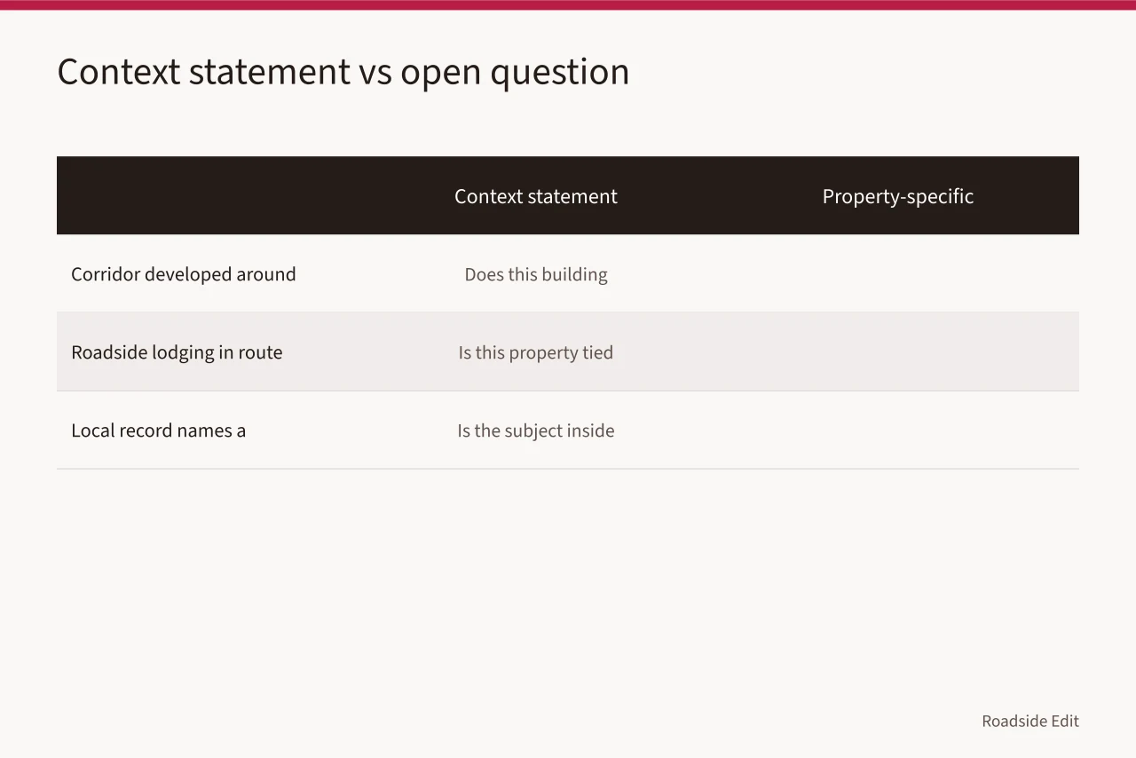
Use a two-column note:
| Context statement | Property-specific question left open |
|---|---|
| "This corridor developed around automobile travel during the period documented by the cited source." | Does this particular building date from that period? |
| "The source describes roadside lodging as part of the route's commercial history." | Is this property connected to that use, and does a source confirm it? |
| "A local record names a historic district." | Is the subject inside its recorded boundary? |
If the evidence is incomplete, say so in the working file and remove the property claim from public copy. A narrow, source-backed sentence is better than an attractive story that cannot be checked.
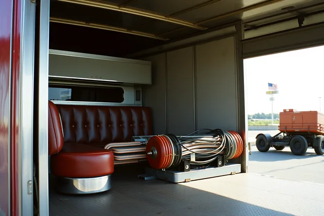
The image is visual context only. It does not establish the location, status, condition, or history of any separate roadside subject discussed in this article.
Check local authority separately
A regional source may explain patterns. It does not replace the public record or agency that makes a local decision. Before publishing any sentence about approval, zoning, traffic control, building work, preservation status, or a public program, identify the responsible authority and the document that actually supports the statement.
Use a decision ledger:
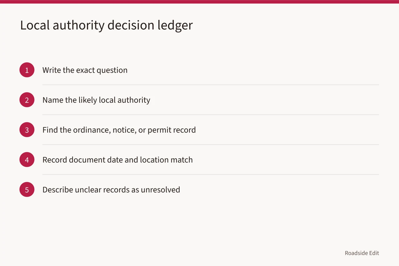
Do not turn an absence of evidence into permission. A regional plan can be helpful background for a design discussion, but it is not a waiver from a local rule. The article should tell readers what the source says and where its authority stops.
Publish a regional claim that readers can audit
Before the draft goes live, run each regional sentence through three checks. First, can a reader see the geography? Second, can they see the date or period? Third, can they tell whether the sentence describes a pattern or a specific location?
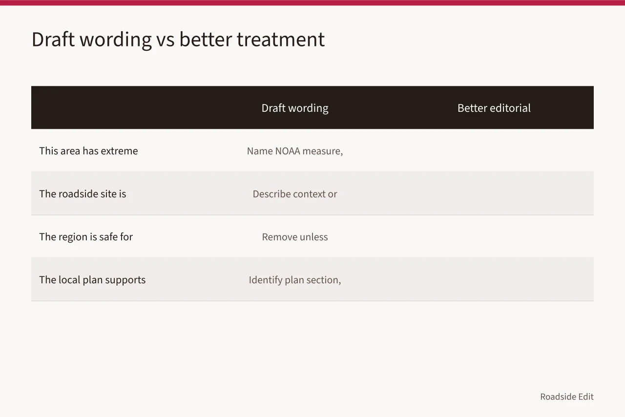
| Draft wording | Better editorial treatment |
|---|---|
| "This area has extreme weather." | Name the selected NOAA measure, area, period, and limit of the source. |
| "The roadside site is historic." | Describe documented context, or cite a specific official status record if one exists. |
| "The region is safe for development." | Remove it unless a qualified, place-specific source supports the exact decision. |
| "The local plan supports this project." | Identify the plan section and keep approval separate from policy language. |
Keep screenshots, downloaded records, map selections, and source notes with the article file. If a source changes, a later editor should be able to see what the draft relied on and revise the wording without reconstructing the whole research path.
Common questions
Can a state or county data set describe one roadside property?
It can provide regional context. It cannot establish a property-level condition or outcome unless the source itself is designed and documented for that property-level question.
How should an article use a historical route name?
Use a source that identifies the route, period, and relevant context. Do not treat a route name as proof that every nearby property has the same history or formal status.
What if sources define the region differently?
Keep the definitions separate. State which source applies to which claim, rather than averaging the boundaries into a single unsupported description.