Guides
Part of How to plan a roadside renovation that adapts to each region
Before you file a roadside renovation checklist, verify the regional facts
Roadside renovation regional checklist for 2027: verify location, map context, climate records, hazard sources, and the limits of every local claim.
Regional context can make a roadside renovation article more accurate, but only in proportion to the evidence. A desert highway image does not establish heat risk at a particular parcel. A county statistic does not prove a building's condition.
This checklist helps a researcher build local context without treating a broad map, old photograph, or climate average as a property assessment.
What to take away
- Verify the location and geographic unit before attaching regional data to a site.
- Record the date, scale, coverage, and limits of every map or climate source.
- Treat regional hazard information as a question for local review, not a finding about one property.
- Keep historic context, current operating facts, and future project plans in separate records.
Establish the location record first
Begin with the best available address, parcel reference, coordinates, or road marker, and keep the source that supplied it. Note the city, county, state, and other geographic units the article will use.
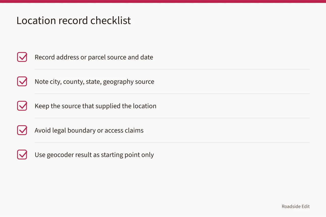
This step prevents common mistakes: attaching data for the wrong place. Two properties may share names, a mailing address may cross a boundary, or a historic route may run through several jurisdictions.
The Census Geocoder can match an address or coordinates to geographic information, but its results are based on address ranges and may return an approximate coordinate, not a surveyed property boundary. Read the Census Geocoder documentation.
Use that result as a starting point for a regional research file. Do not use it to make a legal boundary claim, confirm site access, or replace the property records used by the responsible agency.
| Location question | Record to keep | Claim to avoid |
|---|---|---|
| Which property is this? | Address or parcel source and its date | "This is the only site with this name" |
| Which geography applies? | City, county, state, and source used | "All county data applies to this parcel" |
| Where is the feature? | Map view, coordinate source, or site plan | "The coordinate is a surveyed boundary" |
| Is the route current? | Current agency or owner record | "The road is open" without a current source |
Build a map-context sheet
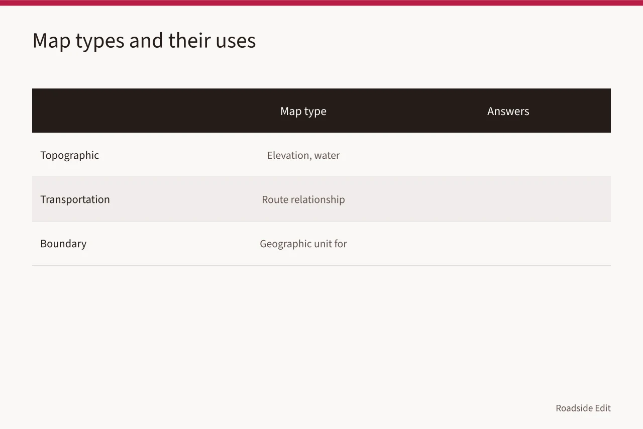
After the location is identified, collect a map that answers one defined question. A topographic view may help explain elevation or nearby water features. A transportation map may help explain the route relationship. A boundary map may identify the geographic unit used for public data. Add the map date, provider, scale, and the specific detail that matters to the article.
The U.S. Geological Survey's National Map Viewer provides base geographic data. Its layers cover elevation, surface water, geographic names, roads, and boundaries. It also includes structures and imagery: Use the USGS National Map Viewer to locate context needing review.
The data aids research, but it does not determine ownership, current access, building condition, permit status, or a project's engineering needs.
One map should not carry more than it can prove. If an article says a site is near a creek, name the map and date. If it says that a project will face flooding, maintenance problems, or access limits, it needs a more specific current source. The word "near" is not a substitute for an assessment.
Use climate records as background, not forecasts
Climate data can explain why a writer is asking about water management, heat exposure, freeze-thaw cycles, wildfire planning, or seasonal access. It cannot predict the condition of a particular building. Keep the observation station, reporting period, variables, and time range in the project file. If a source gives a long-term average, label it as an average.
NOAA's National Centers for Environmental Information provides U.S. Climate Normals data with average temperature, precipitation, and snowfall information at observation stations. Review NOAA's Climate Normals tool. A station record is valuable regional background, not a weather forecast and not proof that the project location experienced the same conditions on a particular day.
Use climate language that matches that limit. "The research file includes long-term station averages for the region" is supportable when the source is named. "The property has a severe climate problem" is not supportable without a current, property-specific review.
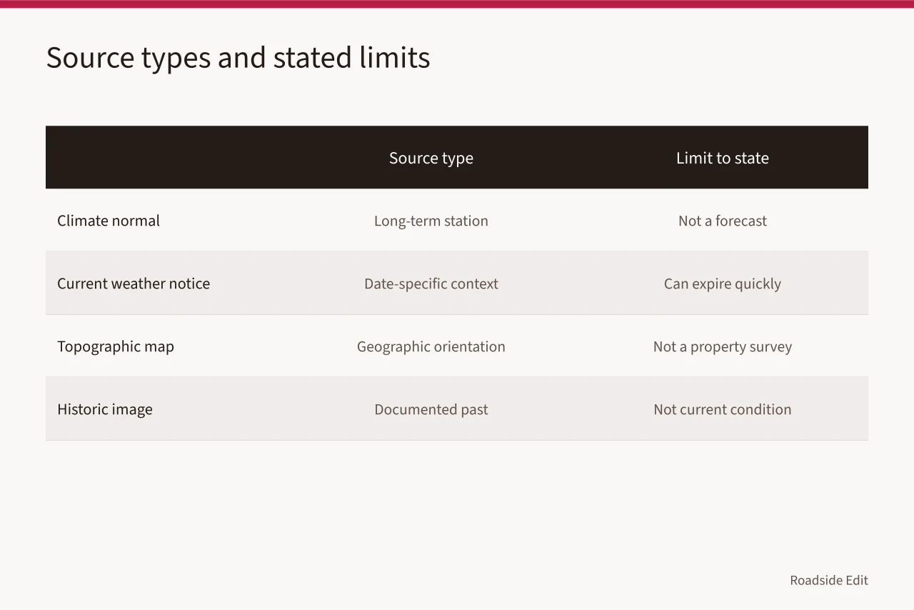
| Source type | Good use | Limit to state |
|---|---|---|
| Climate normal | Long-term station context | It is not a forecast |
| Current weather notice | Date-specific operating context | It can expire quickly |
| Topographic map | Geographic orientation | It is not a property survey |
| Historic image | Documented past appearance | It is not a condition report |
Turn regional hazards into research questions
If regional sources raise a question about heat, water, severe weather, wildfire, or winter conditions, put the question in the checklist. Then identify the record needed to answer it. For example, "Does the current site file identify a drainage path?" is a useful question. "The property will flood" is an unsupported conclusion unless a qualified source confirms it.
The NOAA Climate and Hazard Mitigation Planning tool gives community- and region-specific historical and projected data on coastal hazards, rainfall and flooding, severe weather, heat, wildfire, and winter weather. See the NOAA CHaMP tool overview. It supports regional planning research.
It does not evaluate an individual roadside building, set a design requirement, or replace the local process that may apply to a proposed project.
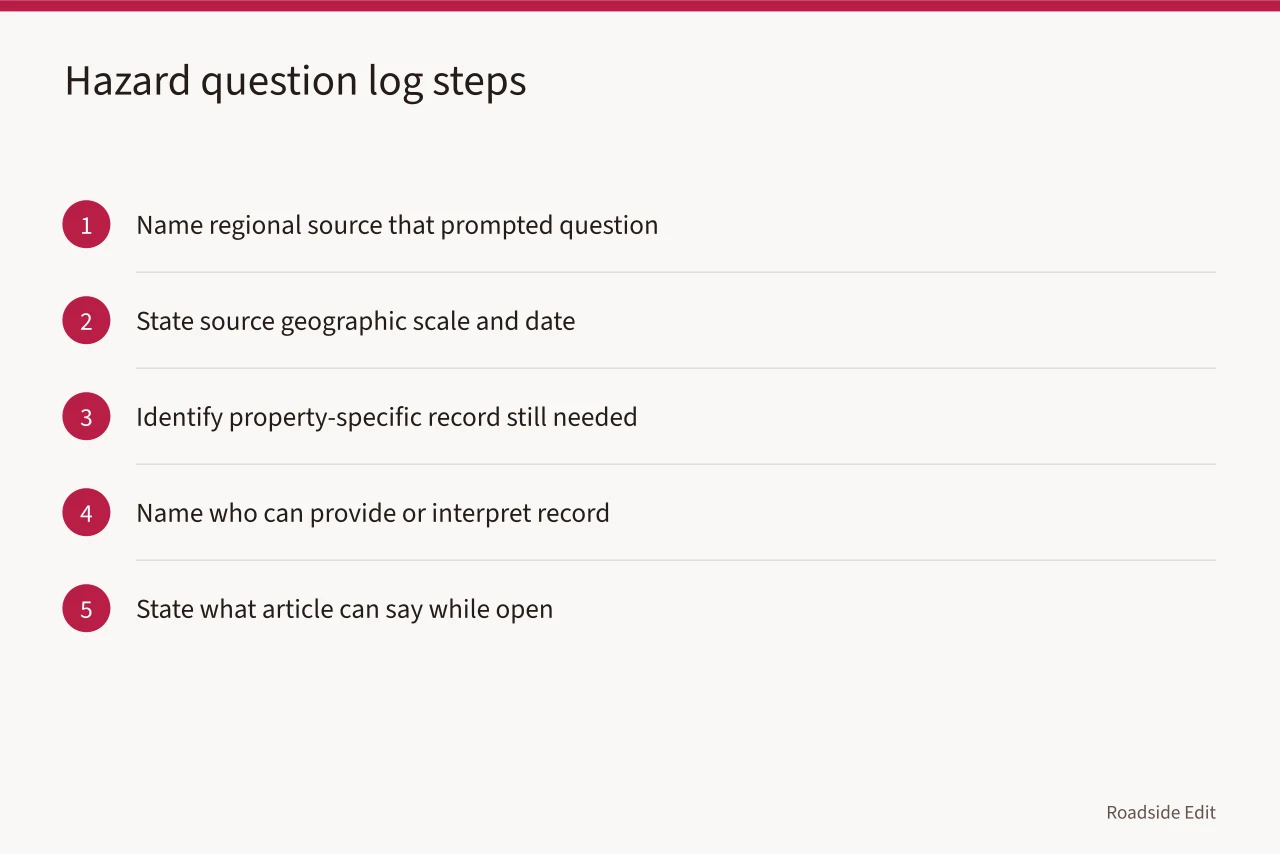
Use a question log for each relevant topic:
- What regional source prompted the question?
- What is the source's geographic scale and date?
- What property-specific record is still needed?
- Who can provide or interpret that record?
- What can the article say while the question remains open?
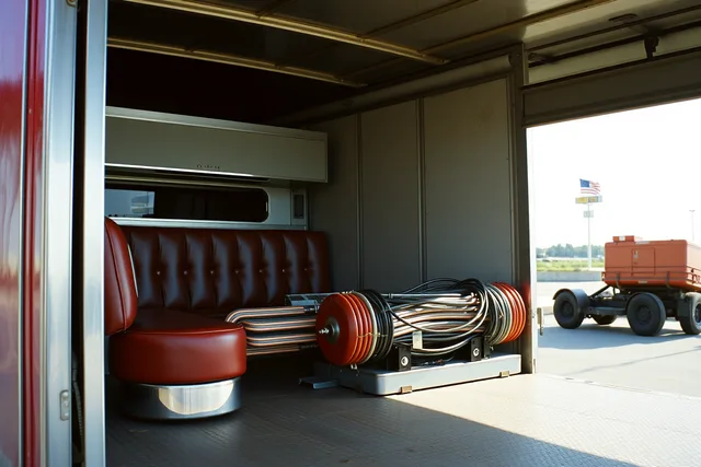
The image is historical context only. It does not establish a present road condition, weather pattern, ownership, access status, or renovation plan for another property.
Keep regional history separate from current facts
Historic photographs, route maps, local histories, and archival material can enrich a project article. Label them with their date and source, then keep them separate from present observations, owner statements, permits, funding, and construction updates.
A historic roadside image may show a feature's former setting, but it cannot show whether the feature survives or what work is authorized now.
When a current claim depends on local history, link the claim to a current source that confirms it. Do not turn a historical label into a current operating fact. This is especially important for route names, business names, and community descriptions that may have changed over time.
Review before publication
Set a refresh date for every local source. Current weather notices, project statements, operating hours, access conditions, and agency reviews can change quickly. Maps and climate records may remain useful longer, but their limits should remain visible.
Before publishing, answer four questions: Is the place correctly identified? Does the source cover the same geographic scale as the claim? Is the record current enough for the statement? Does the statement claim more than the source confirms? If the answer to the last question is uncertain, revise the sentence or leave it out.
Common questions
Can regional climate data prove a building needs a particular repair?
No. It can provide background for a question. A repair decision needs evidence about the building and the responsible review process.
Is a historic Route 66 photograph a current site record?
No. It can support a historical observation about the image itself, if its source and date are clear. It does not confirm current conditions or project status.
How often should a regional research file be updated?
Refresh it before publication and after a material scope change. Update fast-changing sources whenever the article uses them for a current claim.