Reviews
Part of How to plan a roadside renovation that adapts to each region
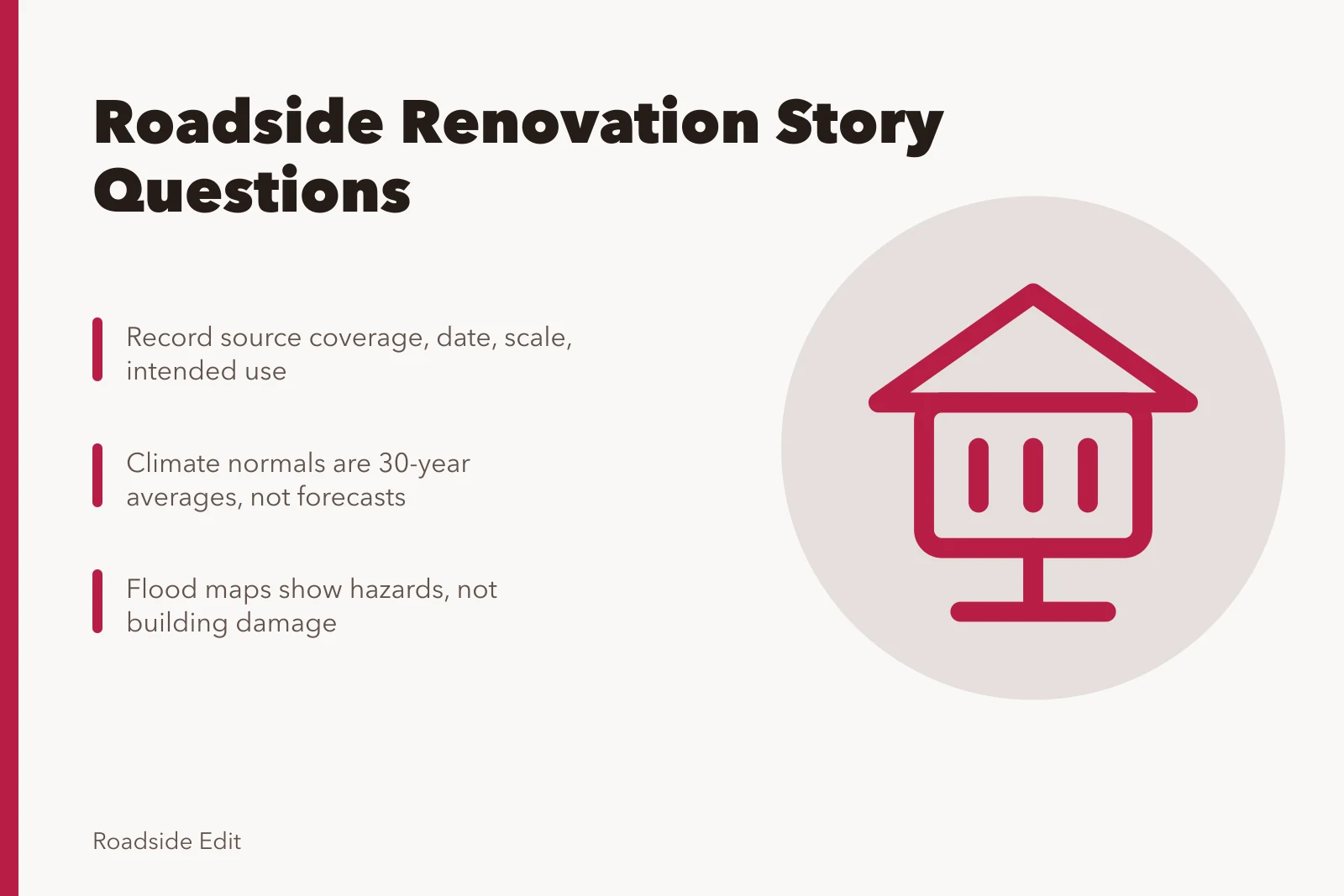
Roadside renovation questions to ask before you publish a regional story
Before a regional roadside renovation story runs, check the visitor facts and the local code authority so the article states what the public record supports.
A regional sentence is a claim about a place. Before it runs, decide which source would settle it and who owns that source. Most bad roadside copy comes from a county map standing in for a parcel, or a tourism page standing in for a gate that is chained.
What to take away
- A county, watershed or climate-station label never establishes a parcel's condition, boundary or public access.
- Match every regional sentence to the scale of the source behind it, and say what that source cannot decide.
- Building rules are adopted and administered by states and localities, not by a national overview.
- Visitor details go stale fastest: hours, closures, parking and services need a current responsible source.
- When the record is silent, write that the record is silent. That is a finding, not a gap.
Visitor context is the part that expires
Public hours, gate times, route access, temporary closures, parking capacity and whether a restroom or a pump is actually working all change without notice. A corridor guide written two seasons ago is background, not confirmation.
Ask the source what it confirms. A state tourism page describes a district; it does not confirm that a specific canopy is open for viewing on a Tuesday in March. A route association page may list a closure that ended last spring.
The test is simple. Could the reader drive there on the strength of this sentence and find what you described? If not, attribute the claim to the source and date it.
For the wider set of regional questions that follow from this, the historic motel regional questions guide walks through the same source-versus-claim split for lodging properties.
Name the authority, not the rule
Code adoption happens at the state and local level, and administration sits with the local authority having jurisdiction. A national overview explains the system; it never names the code that governs one building.
FEMA describes building codes and consensus standards as risk-reduction tools and tracks adoption at state and local levels. Read FEMA's building-codes overview. Use it to frame the question, then ask the project team or the local building department for the applicable process.
That framing matters for a canopy soffit, a dry-stand pipe, a neon transformer load or a forecourt drainage change. Each of those touches a different review path, and none of them is settled by a national page.
Before you rely on any single document, work through the roadside architecture case study questions to ask before you trust a property record, which sort what a file can and cannot establish.
Write "the record does not identify the issuing authority" rather than guessing. Then name who would know: the local building department, the State Historic Preservation Office, or the landmarks commission with adopted ordinance in hand.
Separate the four regional claims
Most regional material falls into four buckets, and they do not substitute for each other.
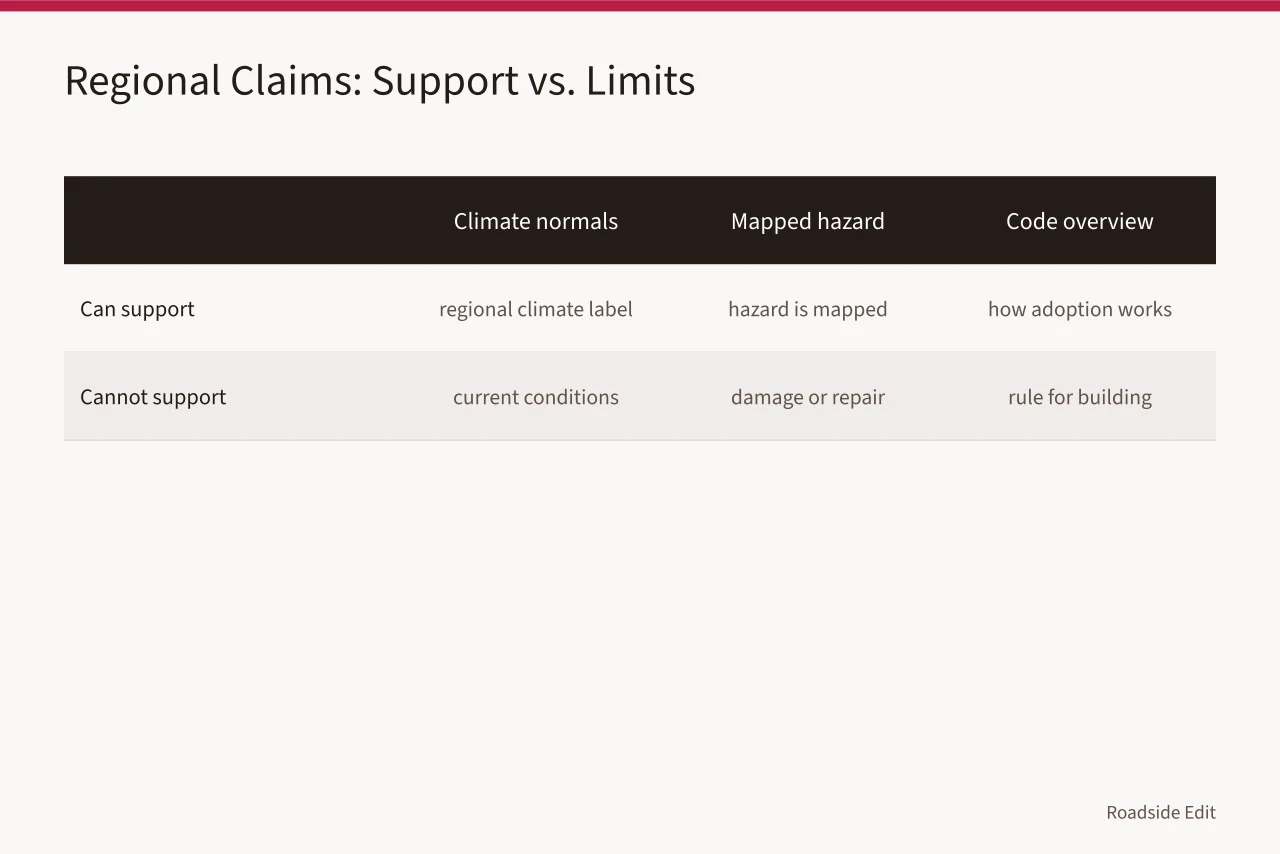
| Bucket | What it can support | What it cannot |
|---|---|---|
| Climate normals | Why a region is called hot, cold, wet or dry | Current conditions or a design decision |
| Mapped hazard | That a hazard is mapped in an area | Damage, drainage or a repair requirement |
| Code overview | How adoption works | Which rule governs this building |
| Visitor listing | Background on a district | That a site is open, staffed or reachable |
NOAA's climate normals are 30-year averages over a standard period. Read NOAA's U.S. Climate Normals overview. Attribute them for regional context. Do not use them as evidence of a current site condition or an opening date.
FEMA's flood maps identify hazards and related risk information for communities. See FEMA's flood map information. A mapped area is not a determination for a specific address, and it is not a report that a building flooded.
The U.S. Geological Survey's National Map carries geospatial data and map tools. Explore the USGS National Map. It helps a writer name the type of geographic reference in play. It does not settle ownership, permit status or a project boundary.
The image is illustrative only. It does not identify conditions, boundaries, requirements or visitor status at another property.
A worked example: the chained forecourt
A draft cites three sources for a station:
- a 1950s porcelain-enamel station on a US route corridor is "open to visitors, with parking on the pump island."
- a corridor guide from two years ago
- a county map
- a photo of the sign
None of them confirms the gate. The guide predates a closure. The county map shows a parcel boundary, not a driveway. The photo shows a sign, not a parking surface.
The corrected version names what is known and what is not. The sign is documented in a dated photograph. The parcel boundary comes from the county record. Public access is not established by any source in hand, and the responsible source is the current owner or the managing agency.
That rewrite is shorter and more useful. It also tells the editor exactly which call to make next. If the file has to survive a change of steward, the roadside building records with regional source scope method shows how to keep each claim tied to the source that supports it.
Questions that produce an answer
Run each regional sentence through these before it publishes.
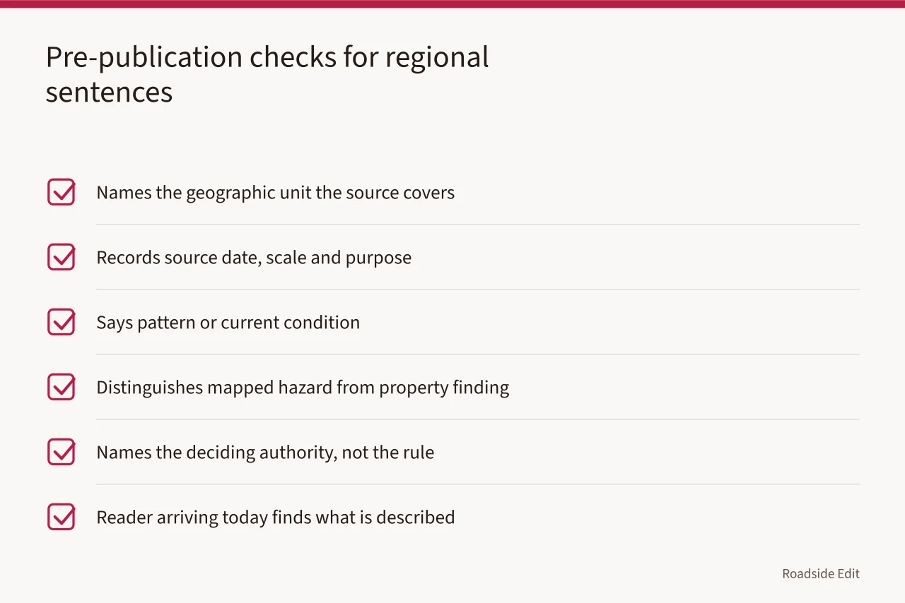
A regional reference earns its place when it points to the next record to pull. It should not make the article sound more certain than the file allows. When a scope does move forward, the neon sign restoration planning workflow treats the project record as the thing you build before any scope is set.
Common questions
Can a regional guide confirm a property is open to visitors?
No. Open status needs a current source specific to the site, such as the owner, the managing agency or a dated notice. A corridor guide describes an area, not a gate.
Which source settles the code question for a specific building?
The local authority having jurisdiction, working from the adopted ordinance. A national overview explains how adoption works and cannot name the code that governs one parcel.
What if a newer record contradicts the article?
Use the current responsible source, correct the text, and keep the date of the change in the file. An older article is not evidence once a dated primary record supersedes it.
How should a sponsor's regional claim be handled?
Attribute it to the sponsor and limit it to what the sponsor can verify about its own project. A sponsor's description of a district is not a finding about a neighboring property. Climate is the same trap, and the roadside architecture regional warning signs explain why climate context has to be kept out of property findings.