Guides
How a modern roadside design planning workflow keeps 2027 projects on track
Modern roadside planning workflow for 2027 helps U.S. project teams record site context, constraints, options, decisions, and handoff tasks before design.
A modern roadside planning workflow turns a broad idea into traceable choices. It starts before a drawing, product list, or construction quote.
The first job is to describe what is known about the place, what people need to do there, and what evidence is missing. That record gives a later designer, owner, contractor, or editor a starting point without pretending a concept is an approval.
This guide is for a U.S. reader organizing an early site conversation. It does not interpret local law, decide accessibility, provide traffic or engineering advice, select a vendor, or promise a project result. A public street, private driveway, historic feature, adjacent property, drainage condition, utility, and local review process can change the proper next step.
What to take away
- Start with a short, dated description of the site and the reason for the work.
- Keep observed conditions, ideas, decisions, and completed work in separate fields.
- Convert vague requests into testable questions about arrival, movement, identity, use, and care.
- Compare options against the same stated purpose rather than against an attractive rendering.
- Create a handoff file that shows what was decided, by whom, and what remains open.
1. Write a project brief that can be checked
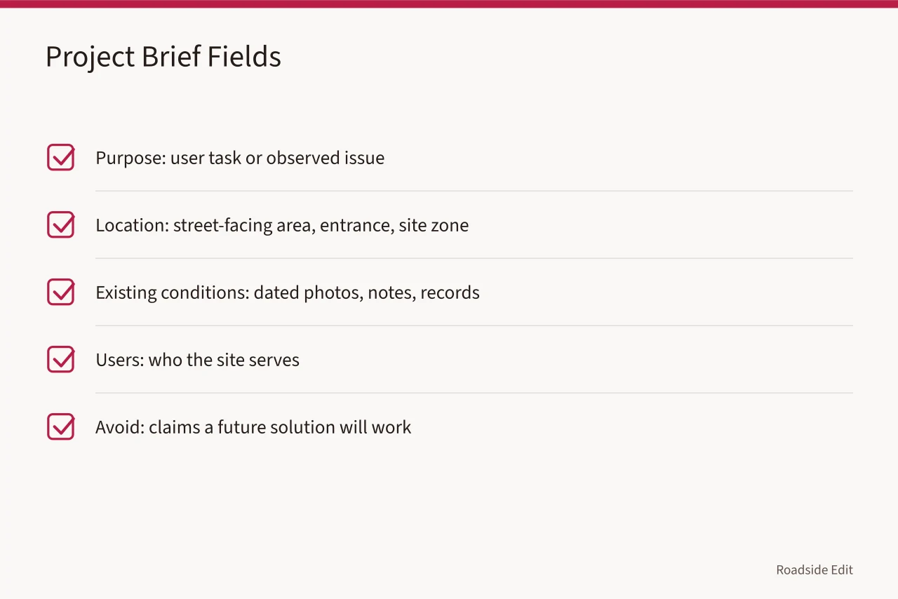
The first planning document does not need to be impressive, but it must be specific enough for two people to tell if they mean the same problem. Start with a short statement, such as "Visitors miss the public entrance after turning from the street" or "The current outdoor waiting area has no documented shade or wayfinding plan."
Avoid a solution in the first sentence. "Install a landmark sign" is a proposal, not a clear statement of the issue.
The Federal Highway Administration outlines a roadside process that carries considerations from planning and programming through design, construction, and operations and maintenance.
Its planning discussion calls for understanding and documenting context and existing conditions, then developing realistic goals that can be tracked. Read FHWA's roadside design process; use it as a process reference, not a substitute for site-specific requirements.
Build the brief from evidence that a later reviewer can identify:
| Brief field | Useful entry | Avoid |
|---|---|---|
| Purpose | The user task or observed issue | A claim that a future solution will work |
| Location | Street-facing area, entrance, or site zone | Precise private details in a public article |
| Existing conditions | Dated photos, notes, or records | Guessing from a cropped image |
| Users | Visitors, staff, deliveries, neighbors, or others documented as relevant | Assuming everyone arrives by car |
| Constraints | Ownership, utilities, drainage, traffic, historic fabric, budget boundary, or missing information | Calling every constraint a code requirement |
| Decision owner | Person or role authorized to choose the next step | A vague statement that the team agrees |
Add a date to the brief. A condition observed in spring may not describe winter use, nighttime visibility, a special event, or a later renovation. The date does not make the observation complete. It tells the next reviewer what moment it represents.
2. Separate facts from requests
Roadside planning becomes confused when a wish, a verified condition, and a decision use the same language. The easiest fix is a status label. Every entry can be marked as observed, reported, proposed, referred for review, decided, or reported complete. A record may move through those labels, but it should not silently jump from a suggestion to a finished outcome.
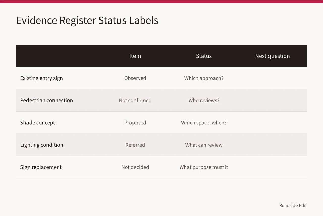
For example, a dated photograph may support "a sign is visible at the east driveway." It does not establish that the sign is permitted, readable from every approach, illuminated, accessible, historically appropriate, or maintained. Those are separate questions. A good planning file keeps them separate so the reader can see the limit of the evidence.
Use a simple evidence register:
| Item | Status | Source or observer | Next question |
|---|---|---|---|
| Existing entry sign | Observed | Photo dated June 2026 | Which approach does it serve? |
| Pedestrian connection | Not confirmed | No current route record | Who can review the connection? |
| Shade concept | Proposed | Owner request | Which space needs shade and when? |
| Lighting condition | Referred | No electrical record | What can a qualified review confirm? |
| Sign replacement | Not decided | Options still under review | What purpose must the new sign serve? |
This is also a good editorial boundary. A business can be mentioned later as a service provider, sponsor, or quoted source, but its marketing language should not be stored as a verified site condition. Record what the business said, where it said it, and the status of that statement.
3. Map arrival before styling the site
An early route map may be a hand sketch, a text sequence, or a marked aerial image. It should distinguish how people reach the site from how they move once there. Consider public street approaches, vehicle entries, passenger drop-off, footpaths, service access, parking, doors, waiting points, and departure routes. Do not fill gaps with presumed sidewalks or presumed access.
Ask what a first-time visitor recognizes at each point; a landmark that leaves someone unable to tell where to turn has not completed the orientation task. If a door is visible but the walking route is unclear, signage is not the only issue.
The relationship among paving, curbs, parking, and planting may matter. So may lighting and the building edge.
Write these observations in plain language. "The available photos show two driveways and no marked walking route between the south parking area and the entrance" is more useful than "the circulation is poor." The first statement identifies a record boundary. The second makes a judgment without showing its basis.
4. Turn constraints into planning questions
Constraints do not stop planning; they show where the team needs better information. A roadside project may have a narrow right-of-way, a busy driveway, a historic feature, a mature tree, or a drainage path.
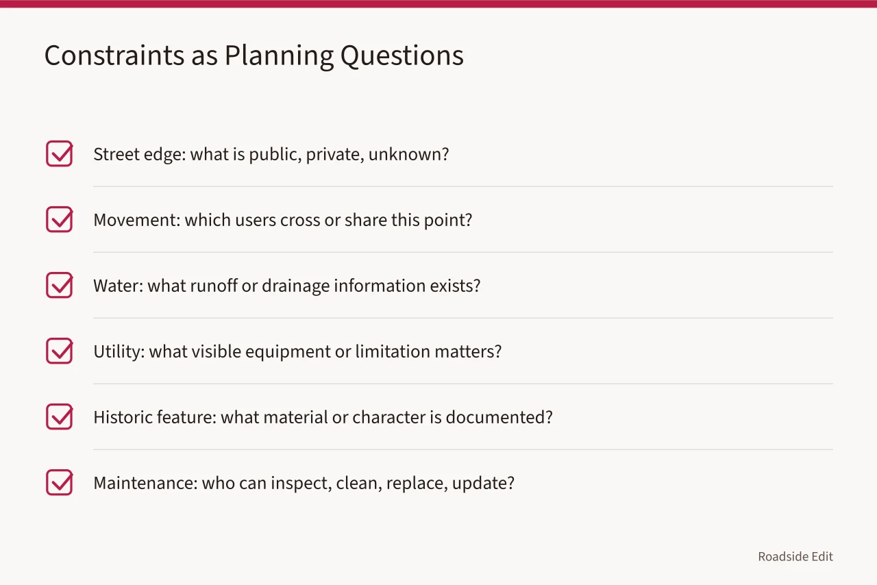
It may also have delivery traffic, limited staff time, or an unfinished ownership question. Treat each as a planning prompt, not a reason to conclude.
| Constraint type | Planning question | Record that helps |
|---|---|---|
| Street edge | What is public, private, or unknown? | Property and street-context record |
| Movement | Which users cross or share this point? | Dated route observation |
| Water | What runoff or drainage information exists? | Site record and referral note |
| Utility | What visible equipment or stated limitation matters? | Utility-location record or unanswered question |
| Historic feature | What material or character is documented? | Historic-context or existing-condition source |
| Maintenance | Who can inspect, clean, replace, or update the feature? | Responsibility note |
Do not invent an engineering answer to make the plan look complete. A good question can be an important deliverable. "What can be confirmed about underground utilities before a planting or paving concept advances?" is better than an unsupported promise about where work can occur.
5. Make options comparable
An option is useful only when it is compared against the same purpose and the same known limits. A sign option, for example, should be described by its orientation job, proposed location, information it would carry, likely maintenance responsibility, and questions still needing review. Do not compare one fully described concept with another that is only a picture.
Create an option card for each direction under consideration:
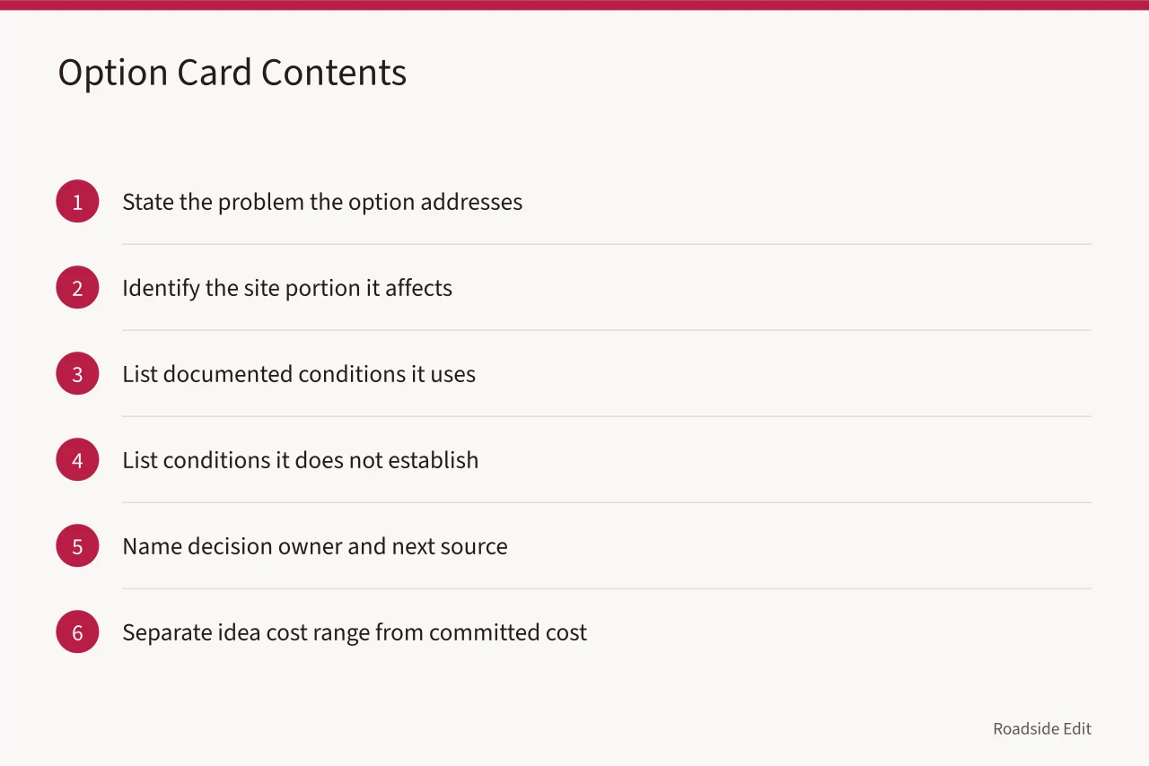
This structure is particularly useful for lists and sponsored content. A future list may compare service approaches or local projects, but each entry needs an evidence boundary. The list should state whether an item is a documented case, a provider description, a paid placement, or an editorial recommendation. Those categories are not interchangeable.
6. Decide in small, recorded steps
Major changes are easier to manage when each decision is small enough to record. Approve a next action instead of "the site redesign." Obtain a current site survey, confirm an entrance sequence, collect existing-lighting information, select an option for review, or set a maintenance role.
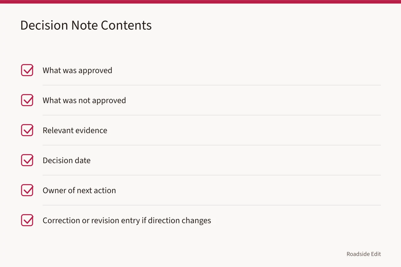
Avoid rewriting a prior decision until it disappears. If the team changes direction, add a correction or revision entry. The earlier entry may be wrong or incomplete, but it explains why a later plan changed. This is also the practical way to prevent stale text from becoming a false public claim.
7. Prepare a durable handoff
The NPS documentation standards call for reliable source material with limitations clear enough for independent checking. In a planning workflow, that means a photo stays a dated observation, a concept stays a proposal, and a decision record stays separate from a report of completed work.
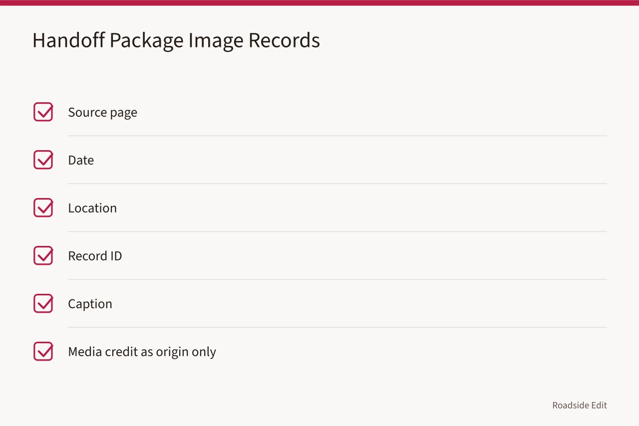
The National Archives guidance for digital photographic records explains the value of identifiers and descriptive information for image records. Keep the source page, date, location, record ID, and caption with each planning image. A media credit identifies its origin but does not support a broad property claim.
The Access Board guide to accessible routes describes connections from arrival points to accessible entrances. It is useful for identifying routes that need local documentation. It does not decide whether a particular property meets applicable requirements.
The planning workflow ends with a handoff package, not a perfect conclusion. The package should make it possible for someone new to understand the work without reading private messages or guessing which concept was current.
Include these items:
- Current project brief and date.
- Existing-condition records and their sources.
- Route or arrival map with known limits.
- Open-question list with an owner for each item.
- Option cards and the reason an option was advanced or set aside.
- Decision log and revision history.
- Public-content boundaries, including any sponsorship or provider relationship.
Before publishing an article about the work, remove nonpublic contact details, access instructions, security information, and unverified commercial claims. Public documentation can explain the process while keeping the operational record appropriately limited.
Common questions
Does a planning workflow replace local design review?
No. It organizes records and questions for the people or authorities who must complete the applicable reviews.
Should a concept image be treated as a final plan?
No. Label it as a concept and retain the dated records, assumptions, and open questions that explain its limits.
What is the first useful deliverable?
A dated brief that states the issue, the part of the site involved, the available evidence, and the next question to resolve.